High fields
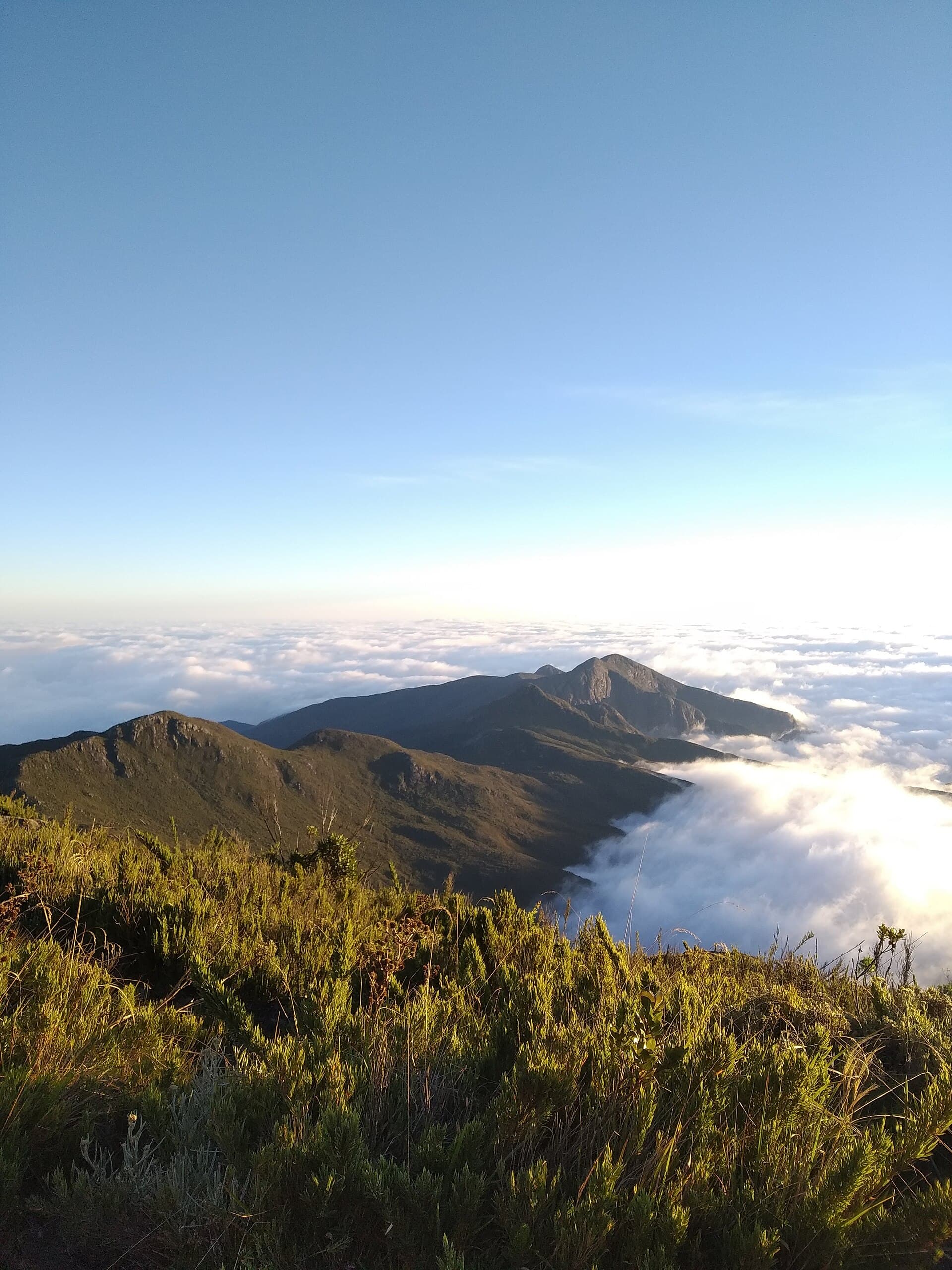
Above 2,400 m.
Arnmichels — CC BY-SA 4.0 · Gustavo Lazarini Forreque from Vila Velha - ES, Brasil — CC BY 2.0 · Rondinelli Leles — CC BY-SA 4.0 · Josue Marinho — CC BY 3.0 · Sam Querubim — CC BY-SA 4.0
Caparaó National Park was created on 24 May 1961 to protect the Caparaó range on the border of Minas Gerais and Espírito Santo, and covers about 31,800 hectares, eighty per cent of them in Espírito Santo. The land rises from about a thousand metres to 2,890, with ten peaks above 2,000 metres besides Pico da Bandeira, Brazil's third-highest, and it feeds the headwaters of the Itabapoana, Itapemirim and Doce rivers. Nature changes with altitude: humid tropical forest on the eastern side, then mountain forest and scrub, and above 2,400 metres open fields among rocks with plants that withstand frost and ice. Threatened species include the southern muriqui monkey, the maned wolf and the pampas deer. The park has two gates: Alto Caparaó in Minas Gerais, with the headquarters and visitor centre, and Pedra Menina in Espírito Santo. It has four campsites, Tronqueira, Terreirão, Macieira and Casa Queimada, and a network of trails between waterfalls and peaks. Entry is controlled and charged, and pets and motorbikes are not allowed. It received about 120,000 visitors in 2023.
Above 2,400 m.
On the lower trails.
A night in the mountains.
Alto Caparaó gate (Minas Gerais) and Pedra Menina gate, Dores do Rio Preto (Espírito Santo)
Alto Caparaó in Minas Gerais, with the visitor centre, and Pedra Menina in Espírito Santo.