Volcanic cliff
Lava layers.
Balou46 — CC BY-SA 4.0 · Diego Delso — CC BY-SA 4.0 · Benoît Prieur — CC0 · Diego Delso — CC BY-SA 4.0 · Benoît Prieur — CC0
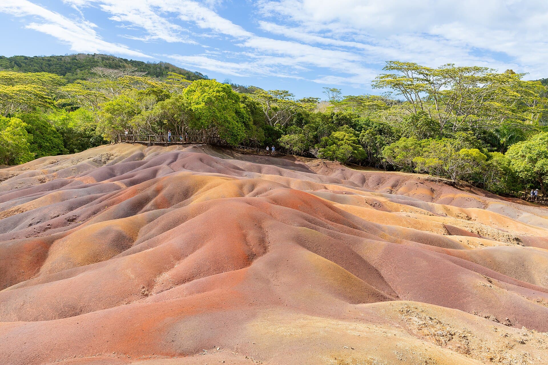
Chamarel Falls is the highest waterfall in Mauritius, near the village of Chamarel in the Black River District of the island's southwest, about 16 km southeast of Flic-en-Flac in a straight line. It drops about 83 metres. The falls are fed by the Saint-Denis and Viande-Salée rivers. Chamarel sits on a wooded plateau in the western hills at about 260 metres, 6 km from the coast, and the area is known for its natural sights, among them the nearby Seven Coloured Earths, the Ebony Forest and Black River Gorges National Park, as well as for locally grown coffee. White water plunges in a long double column from the rim of a reddish-brown volcanic cliff into a broad round chasm cloaked in dense tropical forest. Layers of old lava show as horizontal bands in the cliff face, and spray rises among the trees at the bottom. Visitors view the falls from a platform on the rim of the chasm and photograph them with the forest and cliff. Most combine the visit with the nearby Seven Coloured Earths; the falls run fuller after rain, and the plateau air is cooler than the coast.
Lava layers.
Tropical forest.
Overlooking the falls.
Chamarel, Black River District, Mauritius
The Seven Coloured Earths.
After rain.