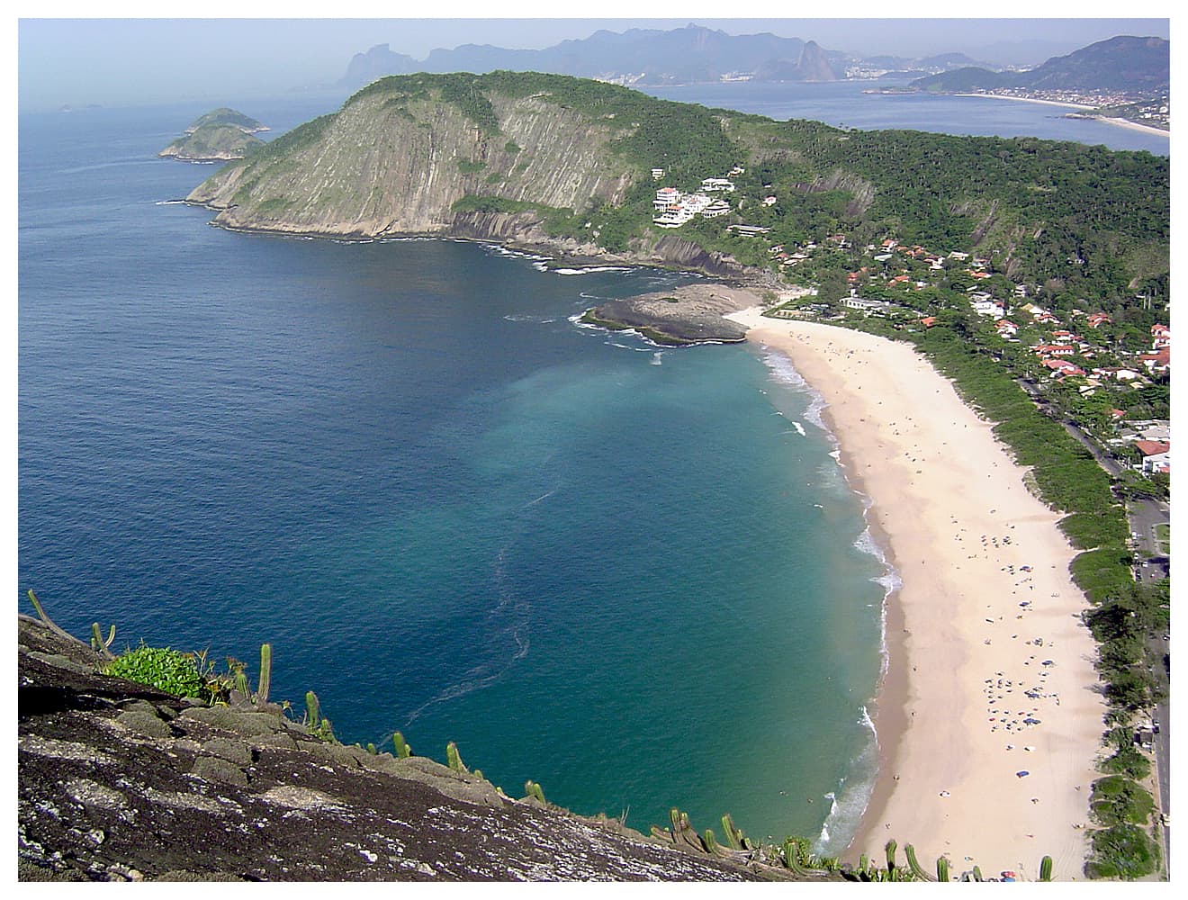
Costão trail
Above Itacoatiara.
Mori Morine — CC BY-SA 4.0 · Tiago Bim Garcia de Souza — CC BY-SA 4.0 · SYMONE MUNAY — CC BY-SA 4.0 · Moisés Silva Lima from Brasil — CC BY 2.0 · Gialorenz — CC BY-SA 4.0 · GutoRocha — CC BY-SA 3.0 · Gialorenz — CC BY-SA 4.0
Serra da Tiririca State Park spans Niterói, São Gonçalo and Maricá east of Guanabara Bay. It was created by law on 29 November 1991, and in 1992 UNESCO declared it part of a world biosphere reserve. In 2012 its limits were extended to take in the Darcy Ribeiro municipal reserve, the islands of Pai, Mãe and Menina and the Morro da Peça, bringing it to 3,493 hectares. It has a marine part and a land part formed by a mountain chain running inland from south-west to north-east and ending at the RJ-106 road. The park takes in eight hills, among them the rocky 217-metre Costão de Itacoatiara above Itacoatiara beach, the 369-metre Alto Mourão and the 412-metre Morro do Elefante, reached by trails that hikers climb for wide views over the ocean and the beaches. The trails are steep in places, so carry water and start early.
Above Itacoatiara.
369 metres.
Highest hill.
Niterói, São Gonçalo and Maricá, Rio de Janeiro state
The Costão above Itacoatiara beach, Alto Mourão and Morro do Elefante, the highest.