Old streets
Balconied houses on a regular plan.
Jjm2311 — CC BY-SA 4.0 · Jjm2311 — CC BY-SA 4.0 · Fawaz.tairou — CC BY 4.0 · Massowka — CC BY-SA 4.0 · Gallois, Eugène (1856-1916). Auteur de la conférence. Photographe de l'oeuvre reproduite Radiguet et Massiot. Photographe — Public domain
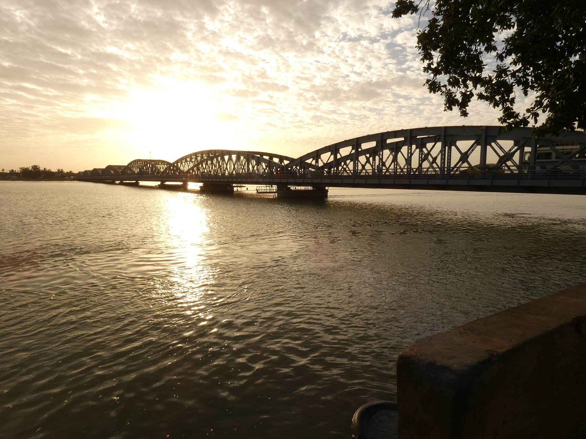
Saint-Louis Island is the historic heart of the city of Saint-Louis in northern Senegal, near the mouth of the Senegal River. About 2 km long and 400 m wide, it joined the UNESCO World Heritage List in 2000 for its regular street plan, quays and colonial architecture. It was founded as a French trading post in 1659 and named after King Louis IX, while locals know it by the Wolof name Ndar. It was the capital of the French colony of Senegal from 1673 until 1902 and of French West Africa from 1895 until 1902, when the capital moved to Dakar. It then served as capital of neighbouring Mauritania from 1920 to 1957. You walk straight streets between houses with balconies and faded colours, while horse carts carry visitors along the water. From the quay you see the broad river and colourful fishing boats lined up on the far side. The Faidherbe Bridge links it to the mainland, and to the west lies the Langue de Barbarie, a sand spit 300 m wide holding the fishing districts of Ndar Toute and Guet Ndar. The island lies about 179.3 km from Dakar and 17.7 km from Langue de Barbarie National Park in a straight line. Walking is the best way to explore, so allow half a day. Days are hot, so go in the morning or late afternoon. Ask before photographing residents, especially in the fishing districts, and dress modestly at mosques and churches.
Balconied houses on a regular plan.
Colourful boats and broad water.
A gentle ride along the water.
Historic centre of Saint-Louis, Senegal
Half a day on foot covers the main streets and quay.
Yes, the park is about 17.7 km away in a straight line.