The stone bridge
The angle in every picture of the region.
Dietmar Rabich — CC BY-SA 4.0 · Alvarodiazsantos — CC BY-SA 4.0 · Wolf Meusel — Public domain
The Schiessentümpel is a small waterfall in the heart of the Mullerthal region, and close to the official image of natural Luxembourg: water dropping in three adjacent cascades over sandstone, crossed by a small stone bridge of 1879 directly at the top. Its size is modest — about four metres — but the composition is what distinguishes it: the three parallel falls are an unusual formation, the bridge gives an ideal photographic angle, and the dense forest around keeps the light green all day. This is the place that appears in every tourist brochure about the country. Access is on foot: it lies on the Mullerthal Trail between Consdorf and Mullerthal, about ten minutes' walk from the nearest car park. It is best in spring after the melt when the water is high, and in autumn for the colours. In summer the flow drops and it can look thin, and the crowding around the bridge on weekends is real.
The angle in every picture of the region.
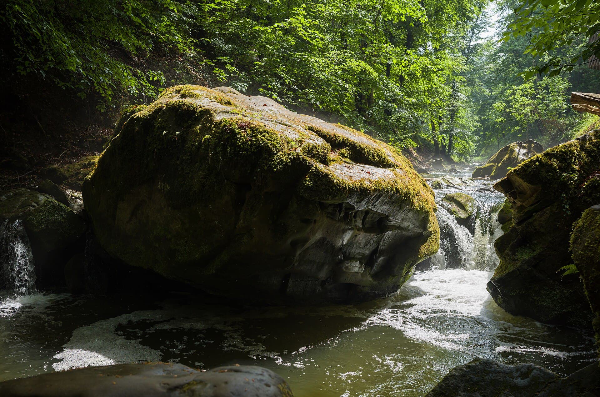
Dense forest keeping the light green all day.
Mullerthal, near Consdorf, 6245
A region of eroded sandstone in eastern Luxembourg, full of narrow rock clefts, caves, cliffs and passages between giant moss-covered blocks, in dense forest. The nickname dates from the nineteenth century, when travellers compared it to Alpine scenery although its elevation is entirely modest — the resemblance is in the rock forms and the woods rather than in mountains. The best way to see it is on foot along the Mullerthal Trail.