The bridges
Crossed by trams.
Joseph Ferris III — CC BY 2.0 · Laika ac from USA — CC BY-SA 2.0 · Laika ac from USA — CC BY-SA 2.0 · Laika ac from USA — CC BY-SA 2.0 · Uri Tours — CC BY-SA 2.0
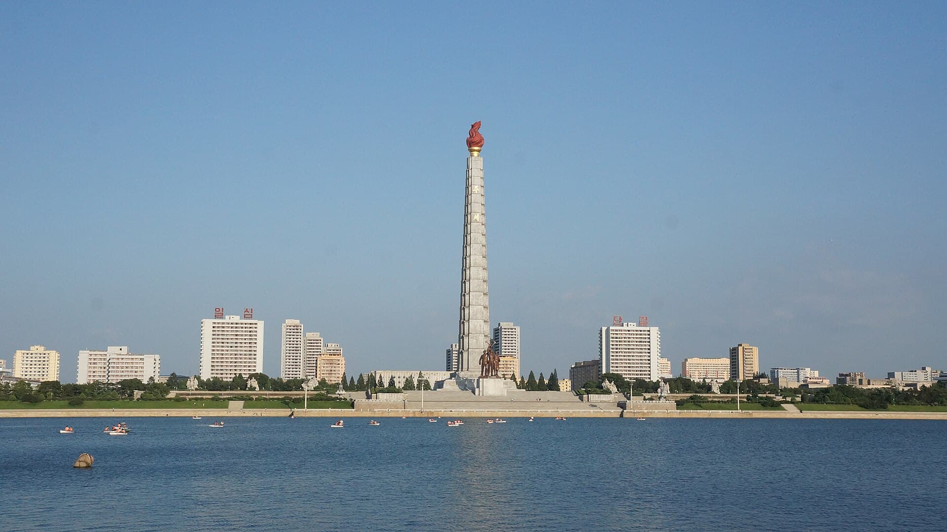
The Taedong is one of the largest rivers in North Korea. It splits the capital, Pyongyang, into two banks before heading west to the Yellow Sea at the city of Nampo. The city's main avenues and buildings line its banks, and several bridges cross it. Pyongyang grew up on the banks of this river long ago, and the river was an important route for transport and trade. Within the city it holds flat islands, including Rungra Island and Ssuk Island. Pleasure boats run on the river, among them a restaurant on a paddle steamer with a funnel. You see a wide, calm grey river reflecting tall apartment towers on both banks, and long concrete bridges crossed by trams. Flat green islands sit in the river, tree-lined paths run along the banks, and in the evening the buildings light up in many colours that shine on the water. It runs right through central Pyongyang and is seen from both banks and the bridges. Foreign visitors can only come on organised tours, and the country has been closed to most tourists in recent years. The UK Foreign Office advises against all but essential travel to North Korea, so read the current advice before you plan.
Crossed by trams.
Flat and green.
Coloured lights.
Both banks, central Pyongyang, North Korea
In the Yellow Sea at the city of Nampo.
Yes, the UK Foreign Office advises against all but essential travel to North Korea.