Lapataia Bay
And the end of the road.
Butterfly voyages Serge Ouachée — CC BY-SA 3.0 · Liam Quinn from Canada — CC BY-SA 2.0 · MotherForker — CC BY-SA 3.0 · Serge Ouachée — CC BY-SA 3.0
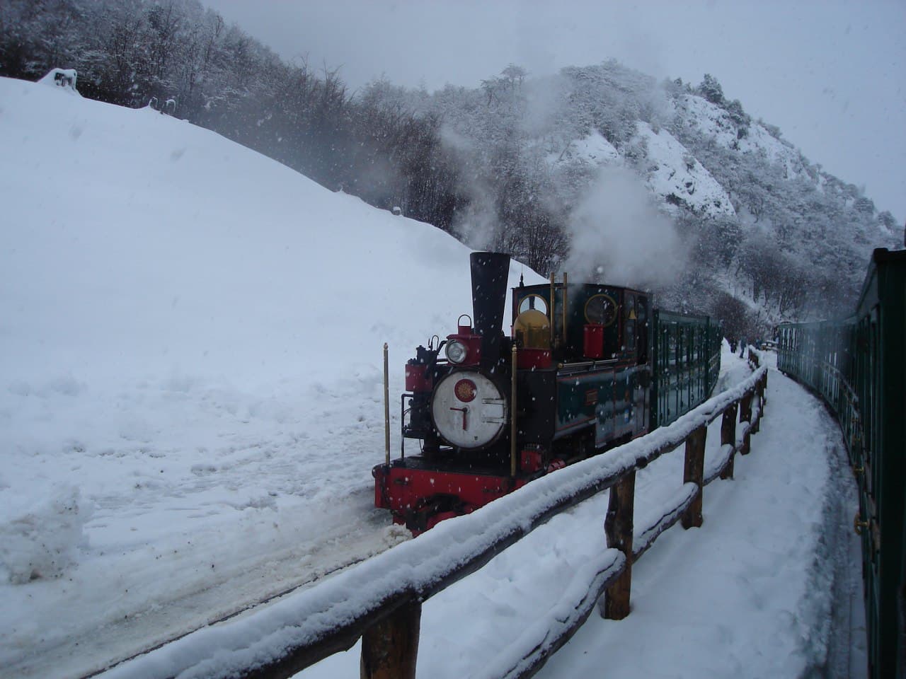
Tierra del Fuego National Park is Argentina's southernmost national park, created on 15 October 1960 over 630 square kilometres, and the country's first coastal national park. It runs north from the Beagle Channel along the Chilean border, through mountains, glaciers, lakes and subantarctic forests of lenga and coihue beech. The park holds the end of National Route 3, the southern tip of the highway that crosses the Americas from the north, marked by a sign at Lapataia Bay where visitors pose for photos. Its best-known trail is the Senda Costera between Ensenada Bay and Lake Roca, and its wildlife includes the Andean fox, kelp geese and many beavers, brought to the island and now a threat to its trees. It is reached by car or minibus from Ushuaia, or on the End of the World Train to its station inside the park. The weather is changeable and cold most of the year, so bring warm layers.
And the end of the road.
On the Beagle Channel.
Lenga beech.
About 11 km west of Ushuaia, National Route 3
By car or minibus from Ushuaia in about twenty minutes, or on the End of the World Train to its station inside the park; the park fee is separate.