The Rhine view
The whole valley from the bends.
Finder119 — CC BY-SA 4.0 · Rafael P. D. Suppmann — CC BY-SA 4.0 · Rafael P. D. Suppmann — CC BY-SA 4.0 · Rafael P. D. Suppmann — CC BY-SA 4.0 · Rafael P. D. Suppmann — CC BY-SA 4.0
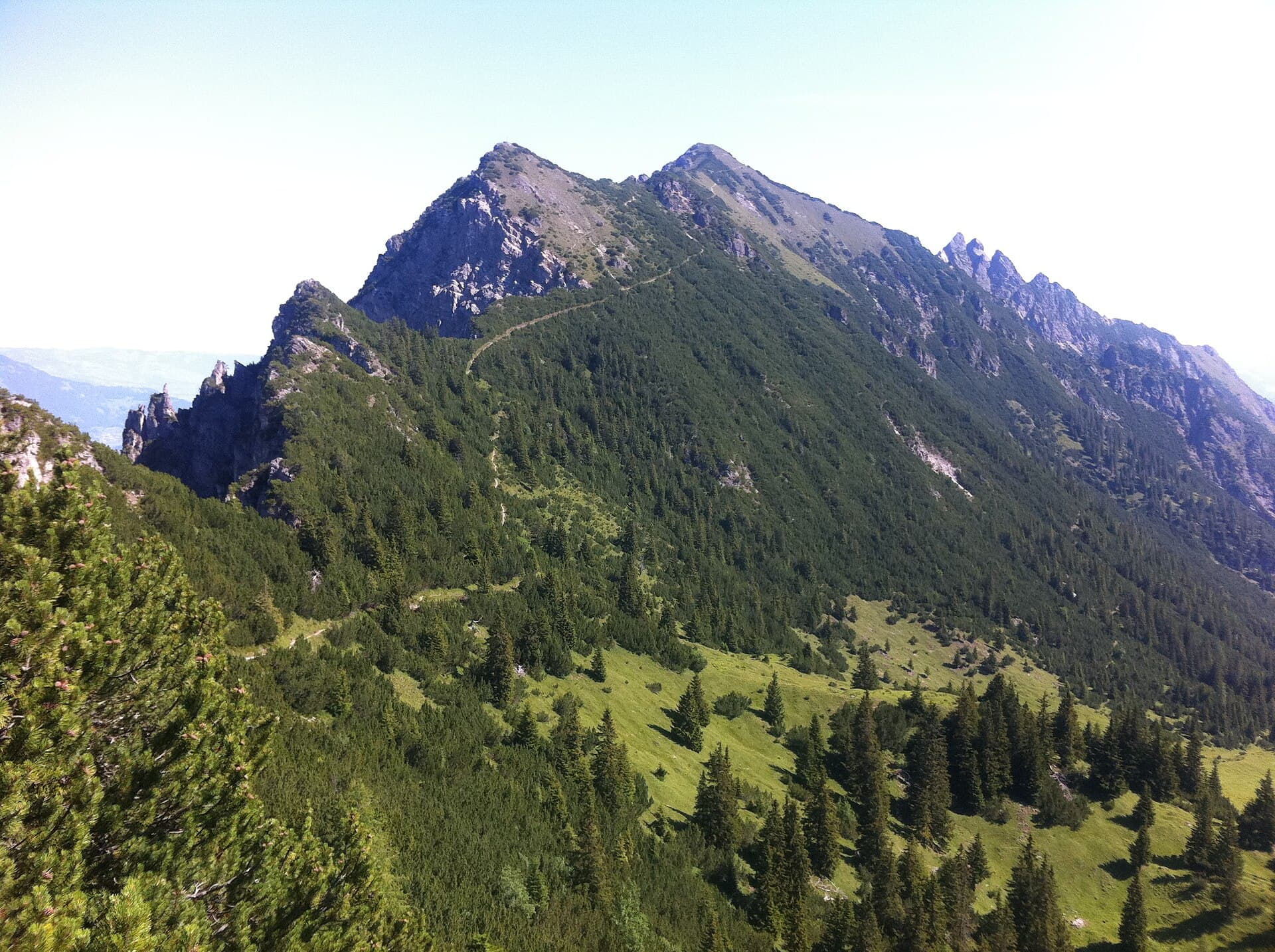
Triesenberg is the largest and highest municipality in Liechtenstein, at about 29.7 square kilometres. Its centre sits at about 900 m above the Rhine Valley, on a terrace formed by an ancient rockfall. Timber houses are scattered among meadows, giving visitors a wide mountain view only minutes from the capital. It was first mentioned in 1378, and Walser migrants settled here in the late 13th and early 14th centuries. It keeps a distinct dialect promoted by the municipality, a rare linguistic mark in this tiny state. It stayed a farming mountain village until the Second World War, after which cars and Rhine Valley industry changed it greatly. The road climbs in bends among green meadows and red timber houses, past small farms and fruit trees. From the bends you see the whole Rhine Valley, with its river and the Swiss mountains opposite, and the sky turns broad with colour at sunset. Behind the village, an old tunnel cut through rock near the Malbun road makes a striking short walk. It is about 3 km in a straight line from Vaduz, though the road winds. Mountain trails lead on towards Gaflei and Malbun. Bring a jacket, as it is cooler than the valley, especially in the evening. Wear suitable shoes for sloping paths, respect the privacy of houses and farms, and close any gate you pass through on pasture.
The whole valley from the bends.
Red among the meadows.
Cut through rock.
East of Vaduz, Oberland, Liechtenstein
By public bus or car from Vaduz, on a winding road.
Yes, the Walser dialect, which the municipality promotes.