
Barbary macaques
Semi-wild.
Ymblanter — CC BY-SA 4.0 · Ymblanter — CC BY-SA 4.0 · Ymblanter — CC BY-SA 4.0 · Ymblanter — CC BY-SA 4.0 · Ymblanter — CC BY-SA 4.0
The Upper Rock is the top of the Rock of Gibraltar, a long, narrow limestone peninsula rising to 426 m above sea level, less than 1 km in a straight line east of the town centre. It is covered by a nature reserve created in 1993, which now takes in more than 40% of Gibraltar's land. Gibraltar's name comes from the Arabic «Jabal Tariq», the mountain of Tariq ibn Ziyad, who crossed the strait in 711. The reserve is famous for its semi-wild Barbary macaques, the only wild monkeys in Europe, and is also an important stopover for birds migrating between Europe and Africa. Visitors reach the top by cable car, by road or on foot, and from there the view takes in the Bay of Gibraltar, the Spanish coast and Jebel Musa in Morocco across the strait. Old gun batteries, paths and lookouts dot the Rock, and the macaques meet visitors at spots such as the Apes' Den. Entry is with the nature reserve ticket, which covers several sites. Do not feed the macaques or carry food in sight, as they may snatch bags; early mornings are quietest.
Semi-wild.
Towards Africa.
To the top.
Nature Reserve, Gibraltar
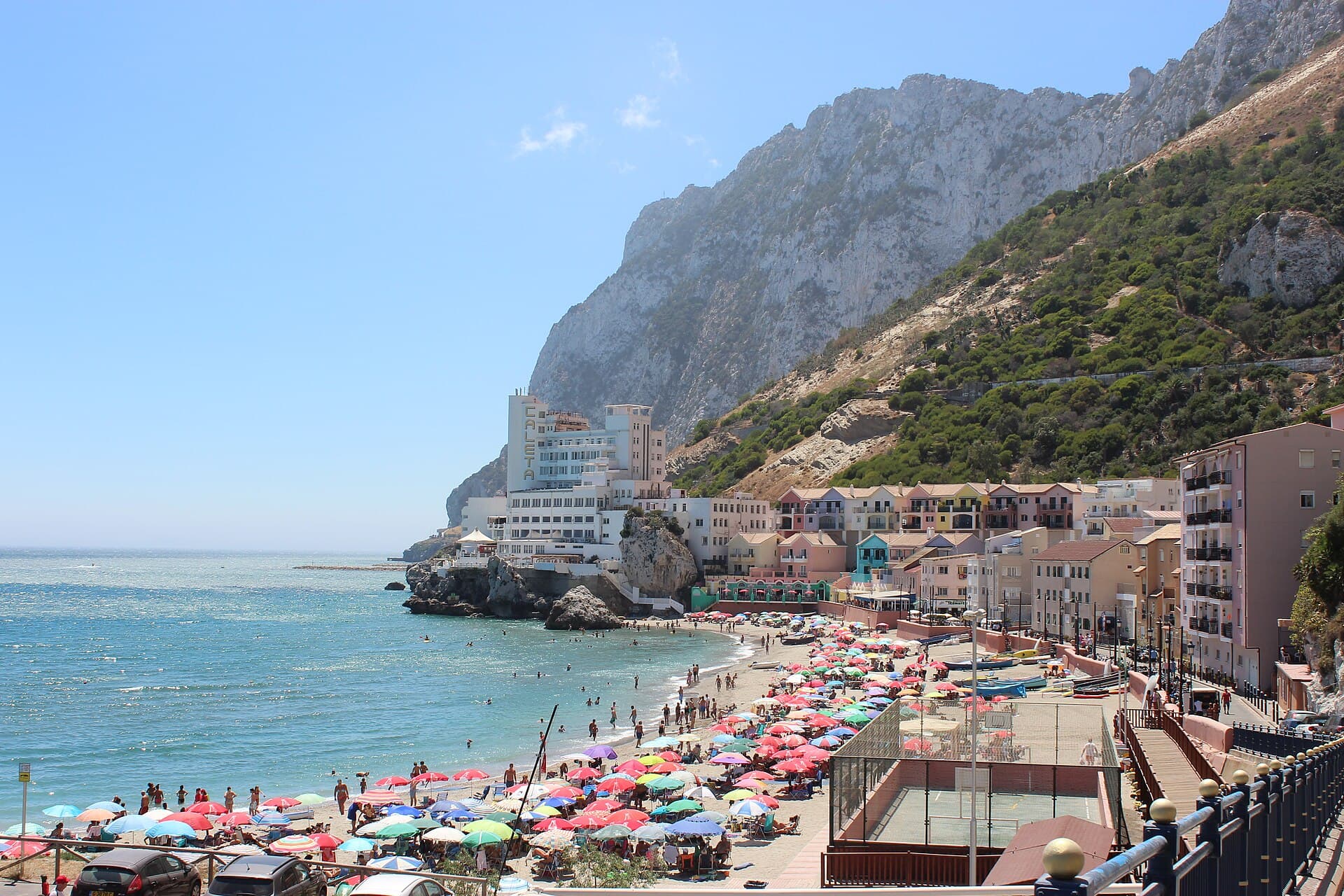 Catalan BayCatalan Bay is a bay and fishing village on the eastern side of the Rock of Gibr7 minutes walk
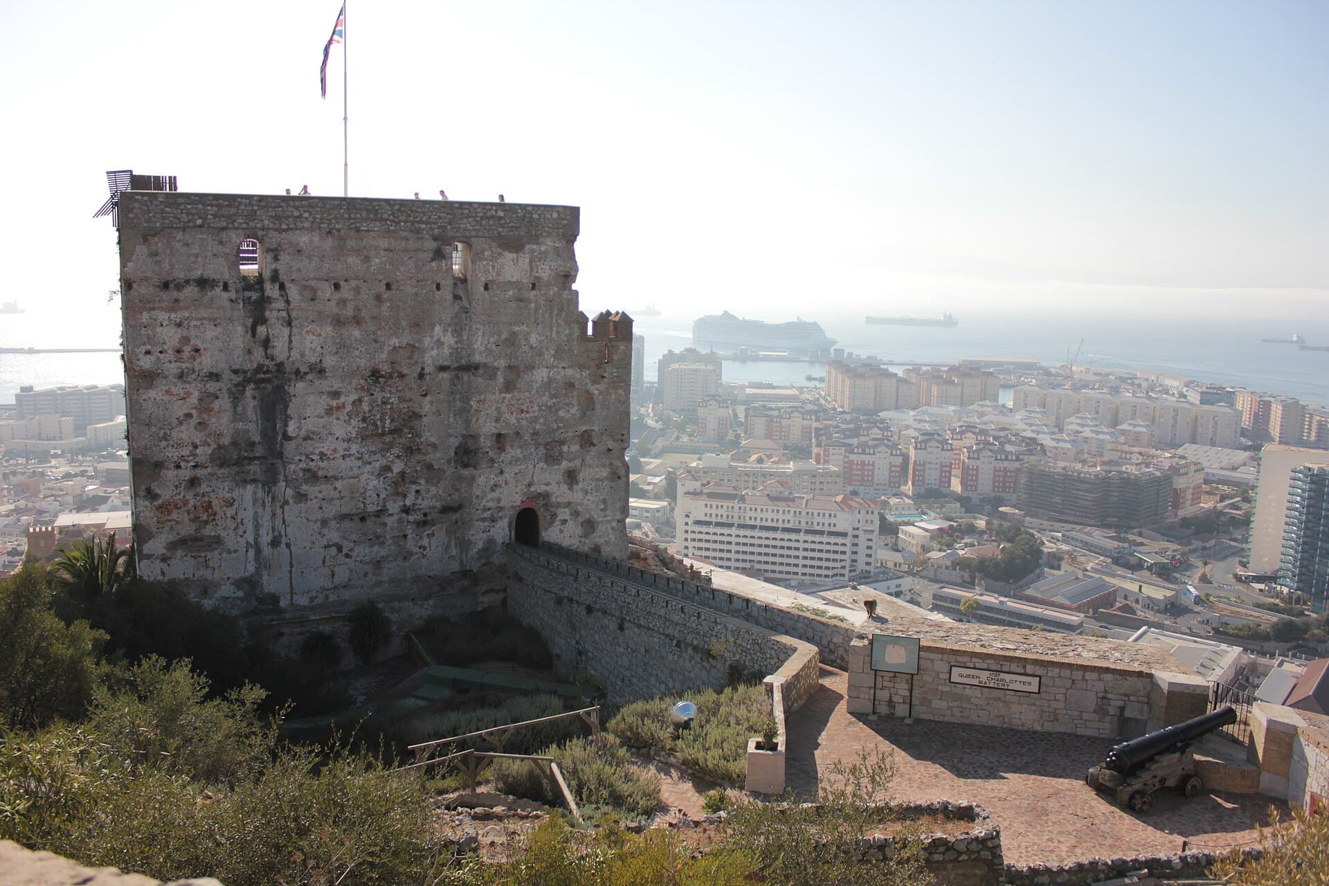 Moorish CastleThe Moorish Castle is a medieval fortress on the slope of the Rock of Gibraltar 8 minutes walk
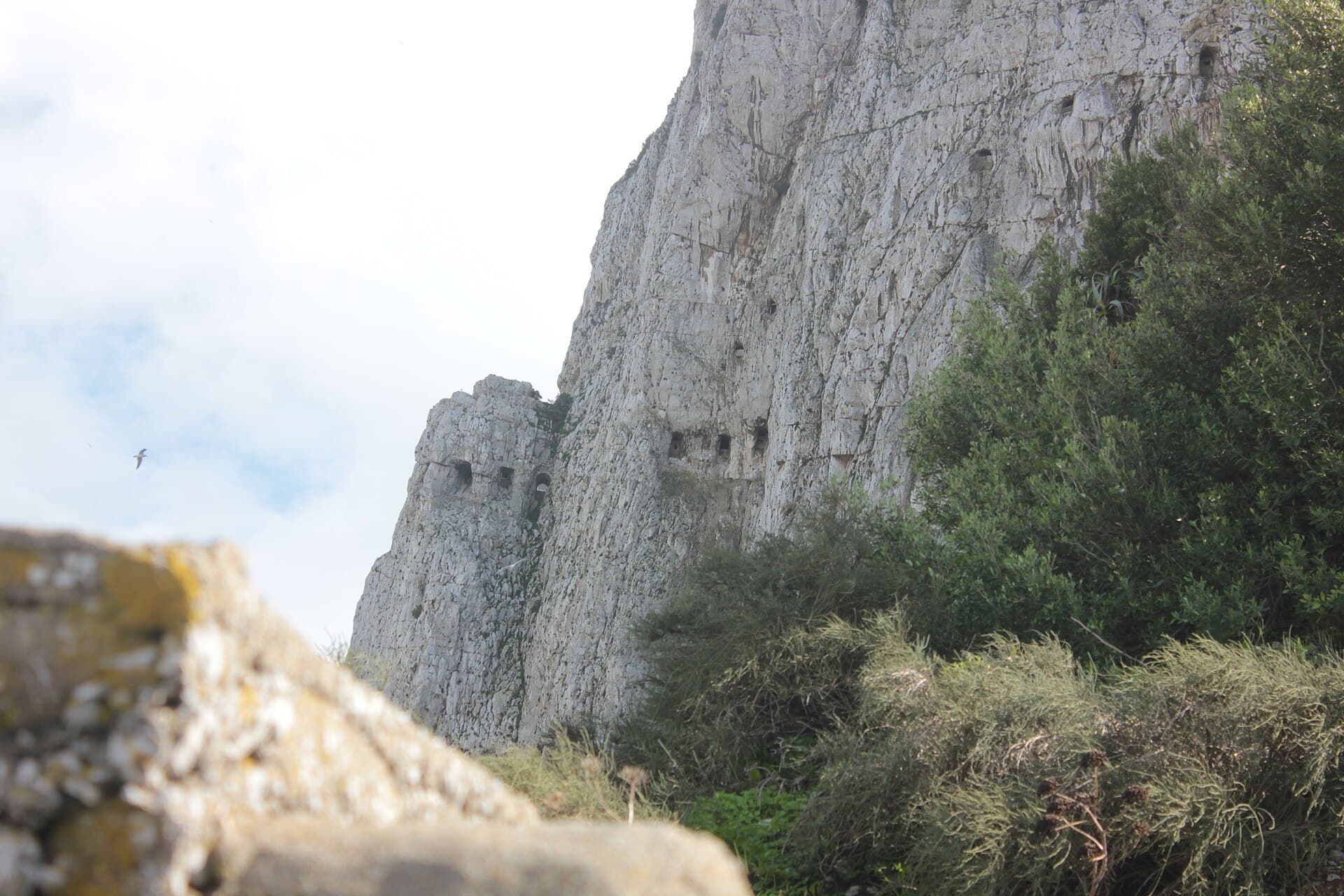 Great Siege TunnelsThe Great Siege Tunnels are a series of tunnels cut into the solid limestone at 9 minutes walk
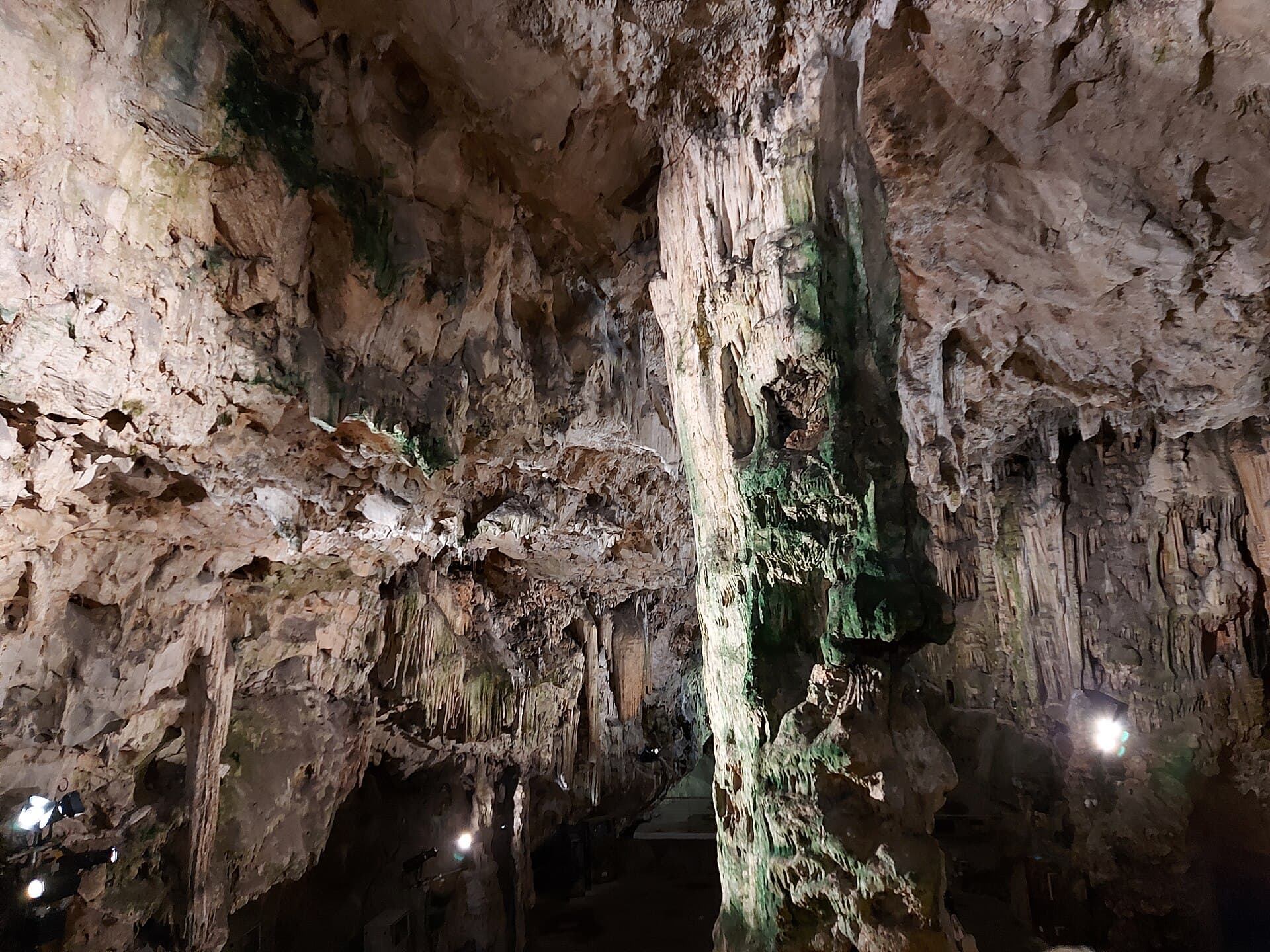 St. Michael's CaveSt. Michael's Cave is a network of limestone caves inside the Rock of Gibraltar,18 minutes walk
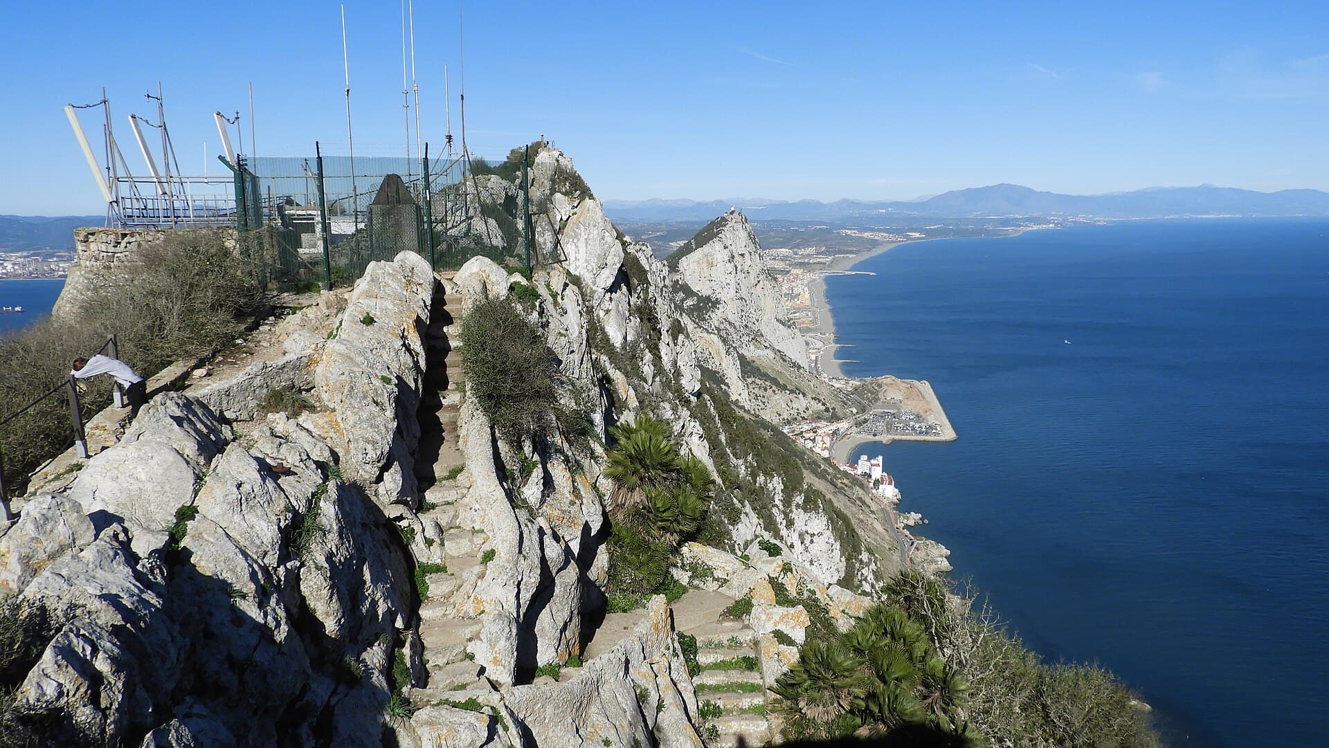 Mediterranean StepsThe Mediterranean Steps are a steep footpath on the south-eastern side of the Ro19 minutes walk
No, feeding is not allowed and they may snatch bags.
By cable car, road or on foot.