Bamboo rafts
To the foot of the falls.
Rod Waddington from Kergunyah, Australia — CC BY-SA 2.0 · Rod Waddington from Kergunyah, Australia — CC BY-SA 2.0 · Ekrem Canli — CC BY-SA 3.0 · Adam Jones from Kelowna, BC, Canada — CC BY-SA 2.0 · Adam Jones from Kelowna, BC, Canada — CC BY-SA 2.0
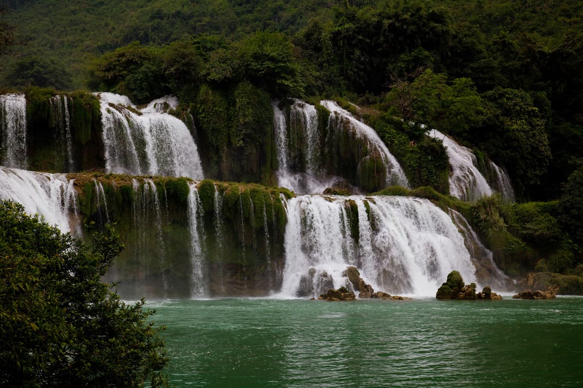
Ban Gioc Waterfall is a wide, many-tiered waterfall on the Quay Son River in Cao Bang province, northeast Vietnam, about 222 km north of Hanoi and 52 km northeast of Cao Bang city in a straight line. The falls lie on the border with China, where the far side is known as Detian; this page covers the Vietnamese side. The water drops about 30 metres over a series of limestone ledges, split by rocks and trees into several falls. Over thousands of years the falls have worn their crest back upstream. For most of the year they look like two falls, a main one and a secondary one, which can merge into a single fall when summer rains swell the river. It is often described as the fourth-largest waterfall on an international border, after Iguazu, Victoria and Niagara. White water spills down mossy steps into a turquoise pool ringed by green karst hills and rice fields. The roar carries far across the valley, and spray hangs in the air near the base of the falls. Bamboo rafts take visitors close to the foot of the falls. Nguom Ngao Cave, a limestone cave open to visitors, lies about 2 km away in a straight line and is often combined with the falls on the same trip. The flow is strongest from June to September.
To the foot of the falls.
White water over green steps.
About 2 km away.
Quay Son River, Cao Bang Province, northeast Vietnam
June to September for the fullest flow; autumn for the rice harvest.
By road from Cao Bang city.