
The view
Of Manhattan.
Jakub Hałun — CC BY 4.0 · R.scholz at English Wikipedia — CC BY-SA 3.0 · Robnaldo — CC BY 2.0 · Tdorante10 — CC BY-SA 4.0 · Chris Cook — CC BY 3.0 · Tdorante10 — CC BY-SA 4.0 · Tdorante10 — CC BY-SA 4.0 · Tdorante10 — CC BY-SA 4.0
A 34-hectare park on the Brooklyn side of the East River, stretching about 2.1 kilometres from Atlantic Avenue in the south, under the Brooklyn Heights Promenade and the Brooklyn Bridge, to beyond the Manhattan Bridge in the north. The land was once an industrial port waterfront. It was turned into a park designed by Michael Van Valkenburgh Associates, whose first section, Pier 1, opened in 2010, and today its old piers hold playing fields, lawns and gardens. It is famous for the finest view of the Lower Manhattan skyline from across the water, with the Brooklyn Bridge overhead, along with 19th-century warehouses, the historic Fulton Ferry Landing and paths for walking and cycling. Entry is free. Come just before sunset, when the Manhattan skyline glows and then the towers and bridges light up, and combine it with walking across the Brooklyn Bridge from Manhattan.
Of Manhattan.
Turned into parks.
Overhead.
Brooklyn waterfront on the East River
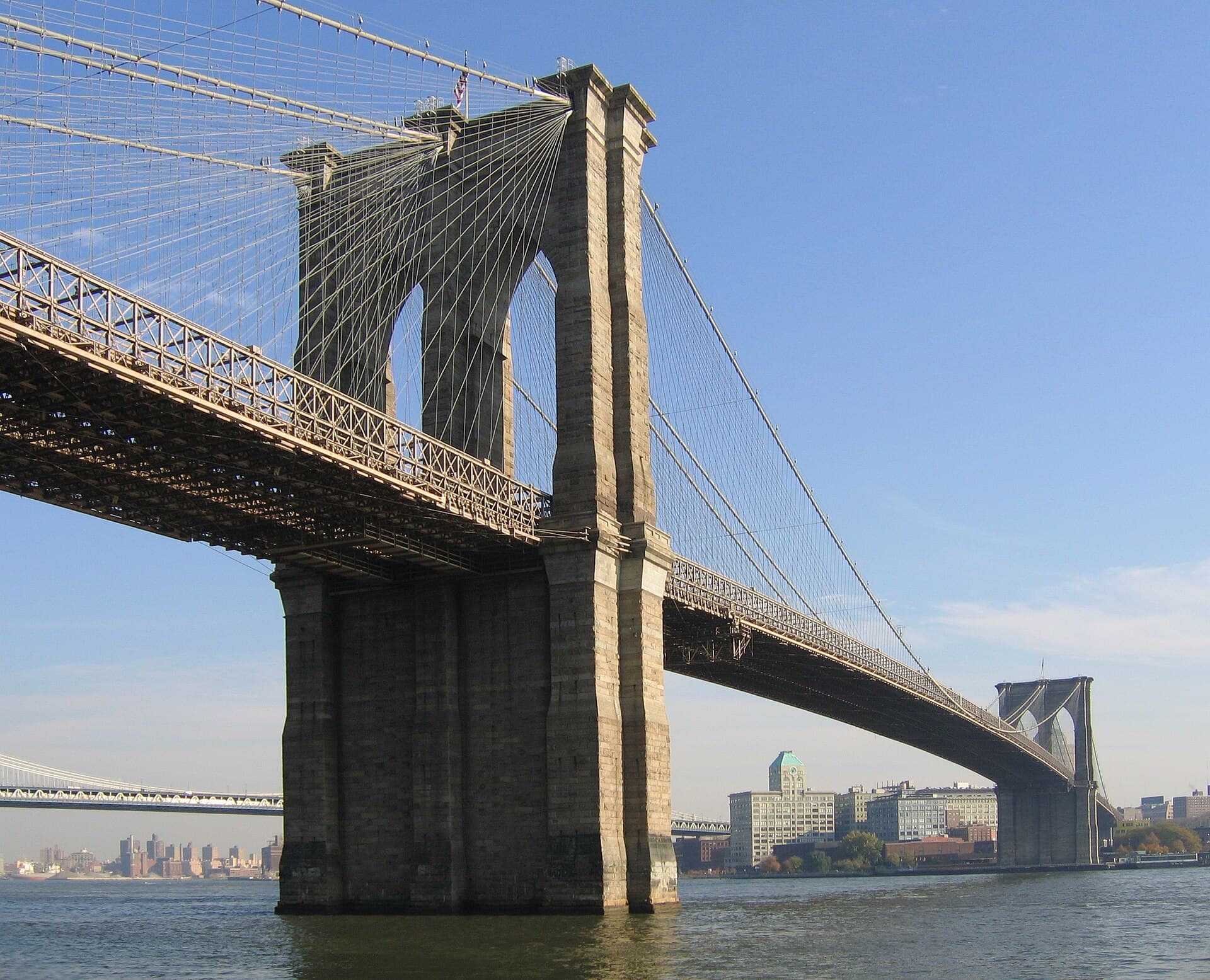 Brooklyn BridgeA suspension bridge across the East River between Manhattan and Brooklyn, opened5 minutes walk4.9
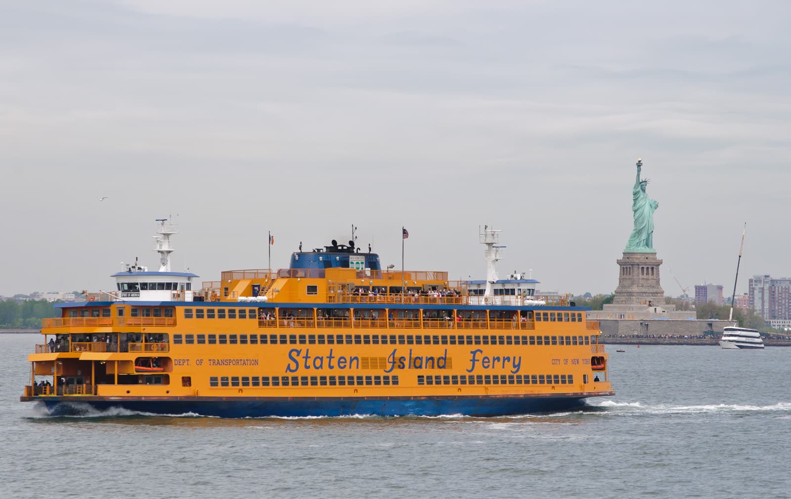 Staten Island FerryA free passenger ferry run by New York City's transport department, crossing 8.418 minutes walk4.6
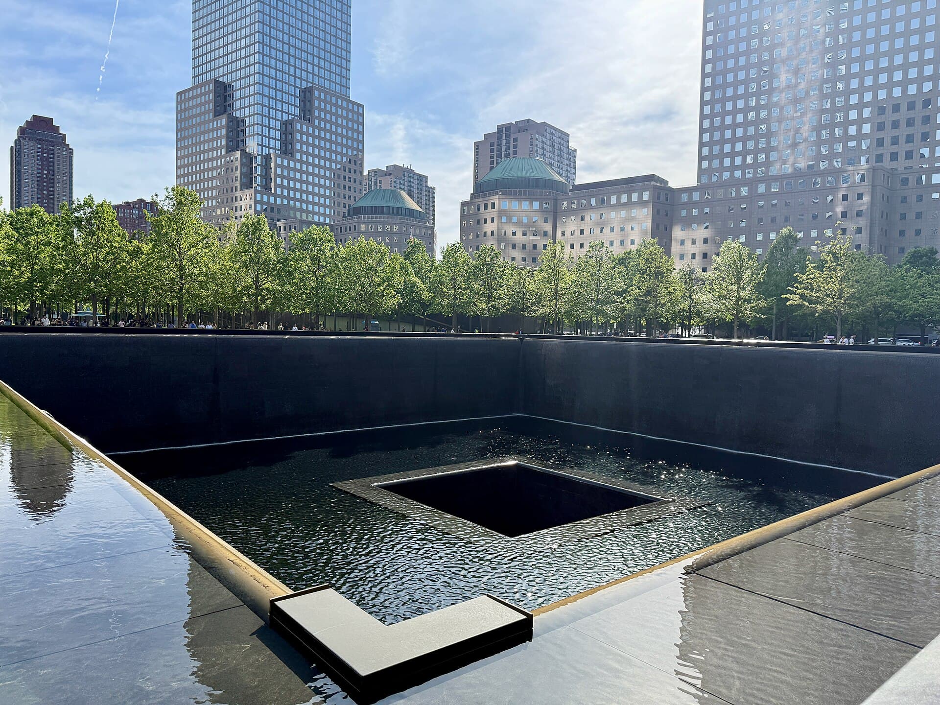 National September 11 Memorial & MuseumA memorial and museum at the World Trade Center site in Lower Manhattan, created23 minutes walk4.9
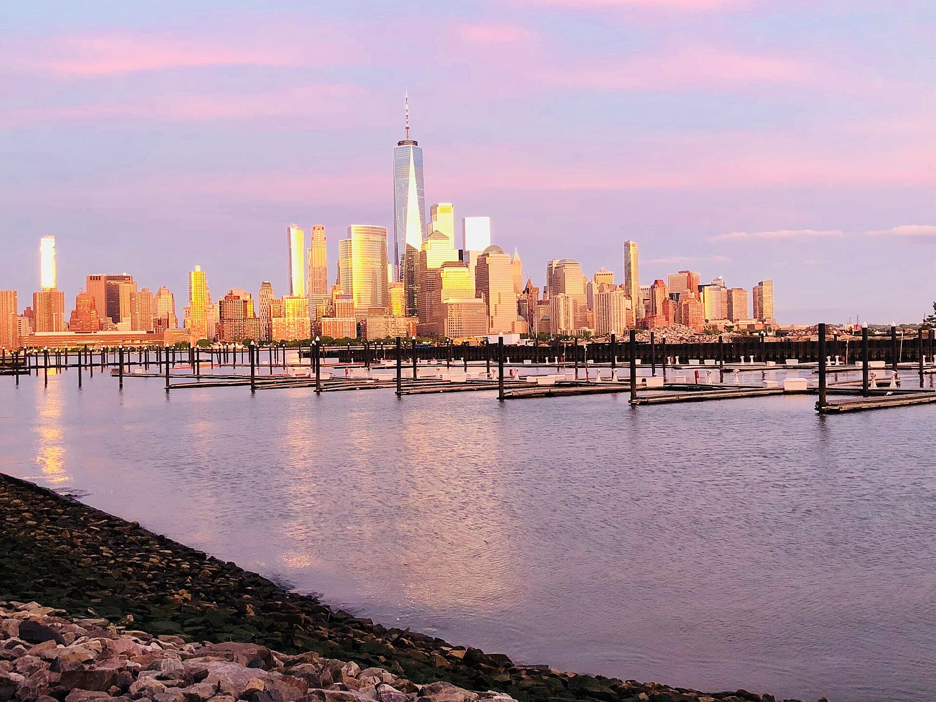 One World ObservatoryAn observation deck at the top of One World Trade Center, the tallest building i24 minutes walk4.7
Just before sunset, to see the Manhattan skyline glow and then light up; entry is free.