
A bridge without a train
Now an elevated park.
Chainwit. — CC BY-SA 4.0 · Chainwit. — CC BY-SA 4.0 · Chainwit. — CC BY-SA 4.0 · Chainwit. — CC BY-SA 4.0 · Chainwit. — CC BY-SA 4.0
An elevated park over the Chao Phraya, opened in 2020 on an unfinished concrete bridge built in the 1980s for a skytrain that never ran; it stood abandoned for decades beside Phra Pokklao Bridge until the city turned it into a green walking and cycling path across the river. The path runs about two hundred and eighty metres from bank to bank, with planters, small trees and benches, and from its middle wide views over the river, cargo boats and ferries, the city towers on the skyline and the old bridges. It is a favourite photo spot at sunset, when river and sky change colour. Entry is free; it opens from dawn until about eight in the evening, reached by stairs or lift from either bank. The path is exposed to the sun, so mornings and late afternoons suit it best. Motorbikes are not allowed. It is near the Pak Khlong Talat flower market and Chinatown, so combine them in one walk; take the Blue Line metro to Sanam Chai station and walk a short way.
Now an elevated park.
Boats, towers and bridges.
From bank to bank.
Beside Phra Pokklao Bridge, between Phra Nakhon and Thonburi, Bangkok
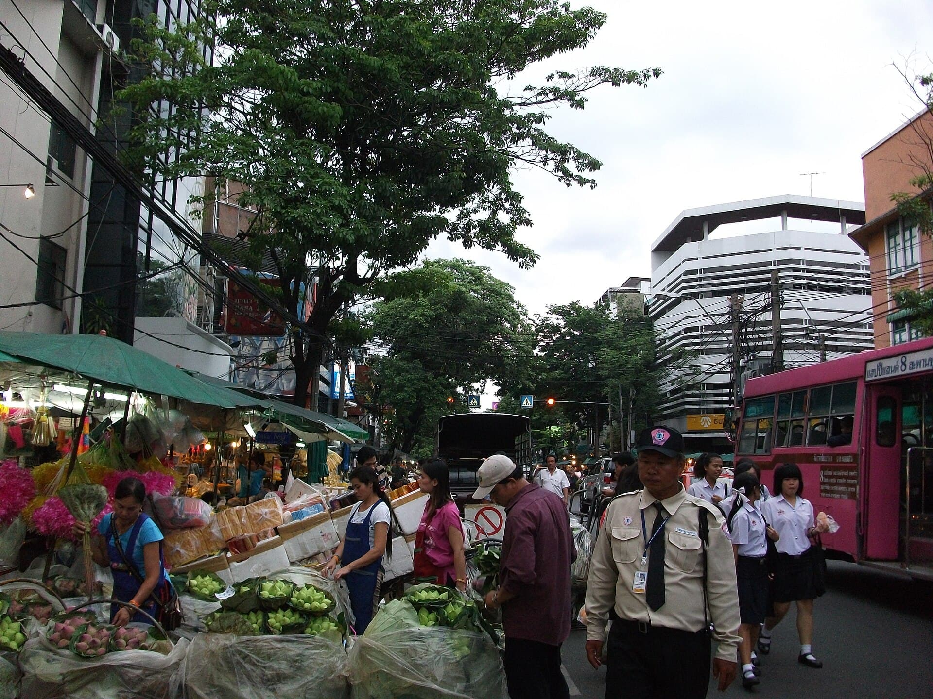 Pak Khlong Talat Flower MarketBangkok's main flower market, along Chak Phet Road and side streets near Memoria5 minutes walk
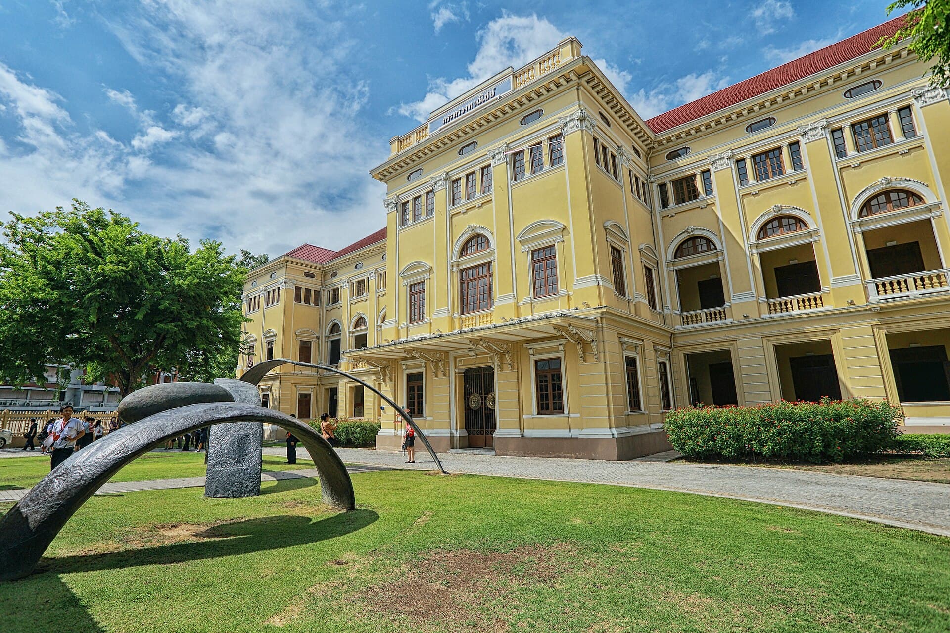 Museum SiamA modern interactive museum opened in 2007 in the old Ministry of Commerce build9 minutes walk
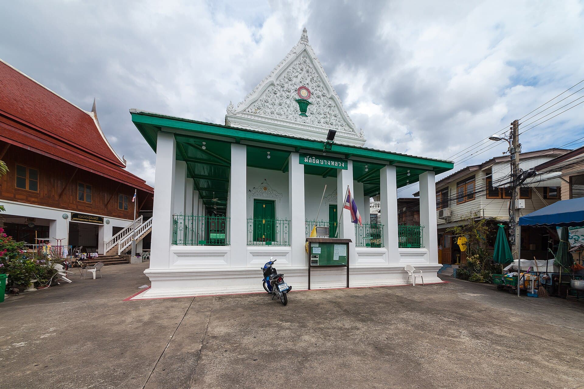 Bang Luang Mosque (Kudi Khao)A unique mosque described as the only Thai-style mosque in the world, in the old13 minutes walk
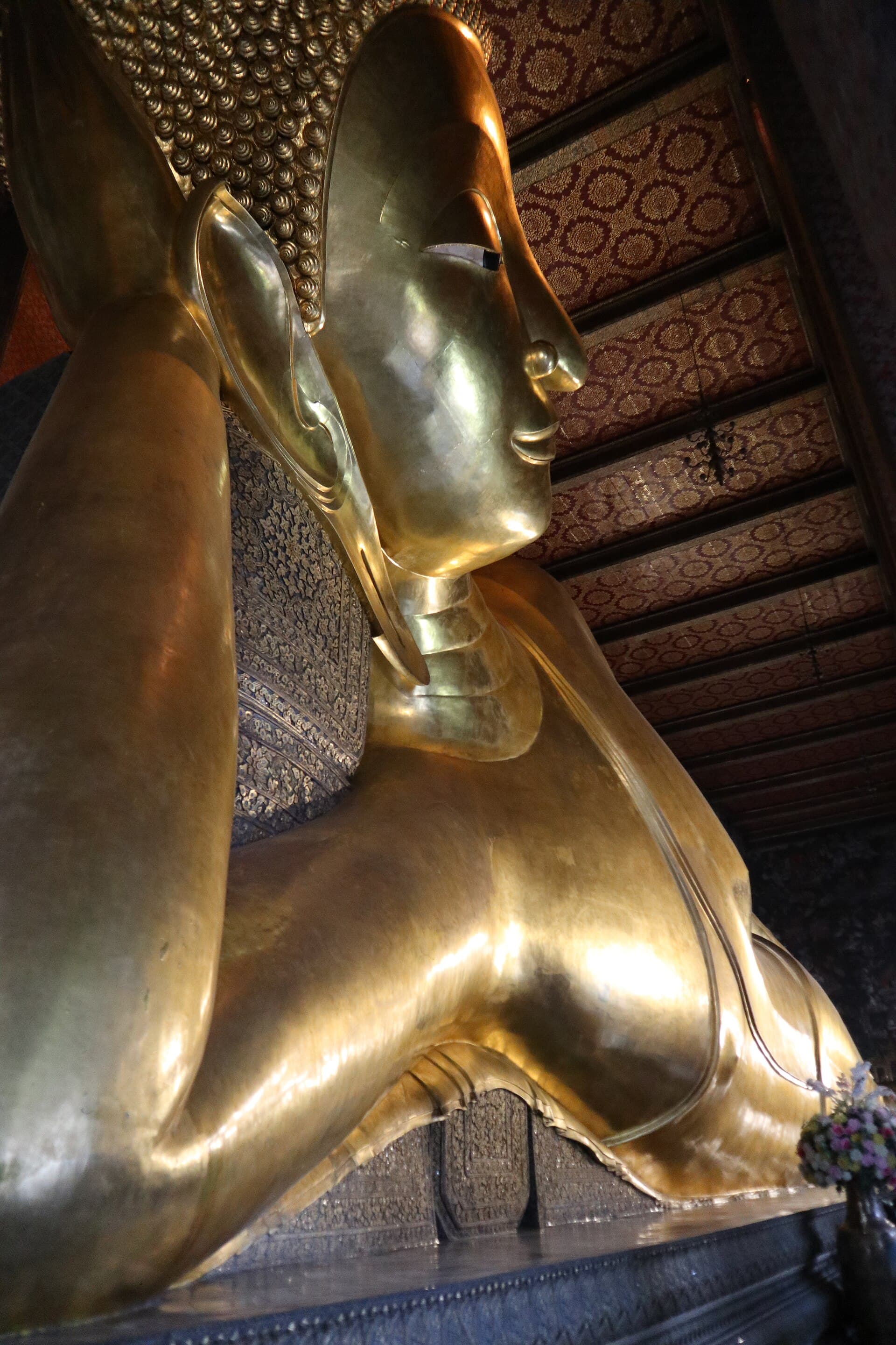 Wat Pho (Temple of the Reclining Buddha)One of Bangkok's oldest and largest temples, directly south of the Grand Palace 13 minutes walk
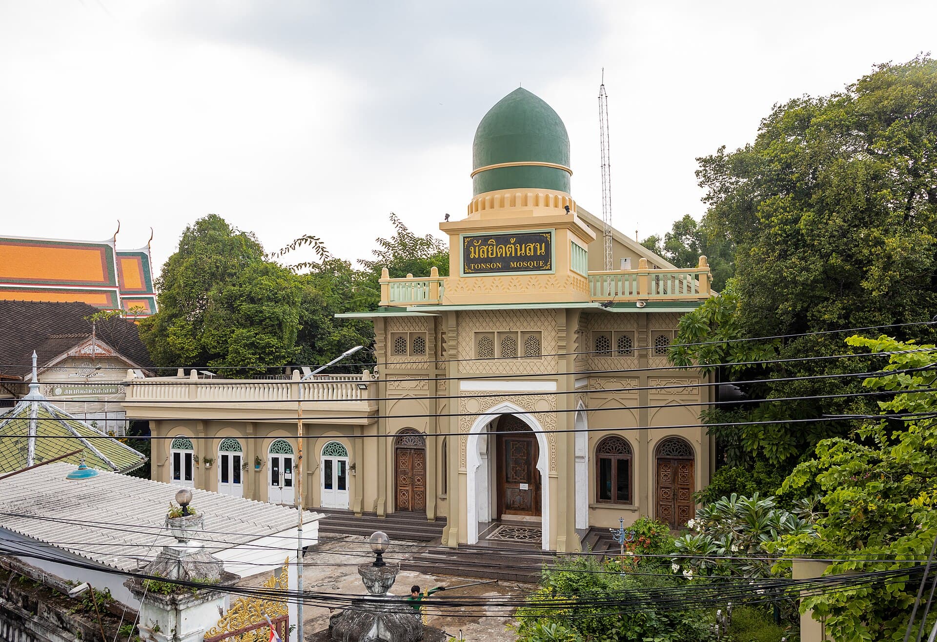 Ton Son MosqueRegarded as Bangkok's oldest mosque, on the bank of the Bangkok Yai canal in Tho13 minutes walk
It was built in the 1980s for a skytrain that never ran, stood abandoned, and became a park in 2020.