The summit
All of Rio's beaches in view.
Aninhaleitao — CC BY-SA 3.0 · Diego Baravelli — CC BY-SA 4.0 · paulsmithrj — CC BY-SA 3.0 · Edvaldo LL Souza — CC BY-SA 4.0 · Rafael Rabello de Barros — CC BY-SA 3.0
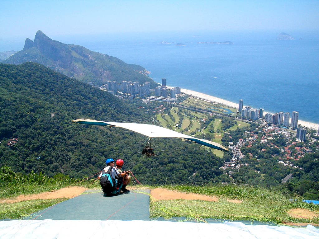
Pedra da Gávea is a granite and gneiss monolith rising 844 metres above the ocean between São Conrado and Barra da Tijuca, and one of the highest mountains in the world to end directly in the sea. Sailors on Gaspar de Lemos's expedition named it when they saw it on 1 January 1502, comparing its flat top to the topsail, the «gávea», of their ships; the Gávea district later took the same name. On one side weathering has carved what looks like a human face, and markings on another face have been described as an ancient inscription, but geologists almost all agree they are the work of erosion. The rock is now part of Tijuca National Park. The climb is one of Rio's hardest hikes: two to three hours of steep forest trail, then the rocky section called «Carrasqueira» that needs real scrambling, so a guide with a rope and helmet is strongly advised. From the top the view reaches Pedra Bonita, where hang-gliders launch, and the whole city shoreline. Start early on a dry day; the rock turns slippery after rain.
All of Rio's beaches in view.
Shaped by erosion.
Inside Tijuca National Park.
Trailhead on Estrada Sorimã, Barra da Tijuca, Rio de Janeiro
Experienced hikers do, but the rock scramble near the top is dangerous, so a guide with a rope and helmet is strongly advised.