
The flood marks
Lines recording the highest levels the Rhine has reached, some of them shockingly high.
Dietmar Rabich — CC BY-SA 4.0 · Dietmar Rabich — CC BY-SA 4.0 · Dietmar Rabich — CC BY-SA 4.0 · Dietmar Rabich — CC BY-SA 4.0
The Pegel is a small structure on the Rhine bank in Cologne whose job is to measure and record the water level. A gauge has worked here since the nineteenth century as part of the river monitoring system. The building itself is plain, but what makes it interesting is the visible scale: figures showing the water height, and marks recording the highest floods to have hit the city. The Rhine floods regularly, and some of those marks are startlingly high. That explains something important about Cologne: the city has lived with the river and its floods for centuries, and protective walls and gates were built along the bank — you can see some of them nearby. The visit is very short — ten minutes — and free, on the riverside promenade between the old town and the bridges. A stop in passing, not a destination.
Lines recording the highest levels the Rhine has reached, some of them shockingly high.
A path along the bank with views of the river, the bridges and the old town.
Frankenwerft, 50667 Köln
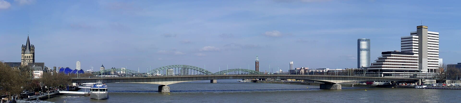 Deutzer BrückeA bridge across the Rhine in central Cologne, linking the old town with the Deut2 minutes walk4.6
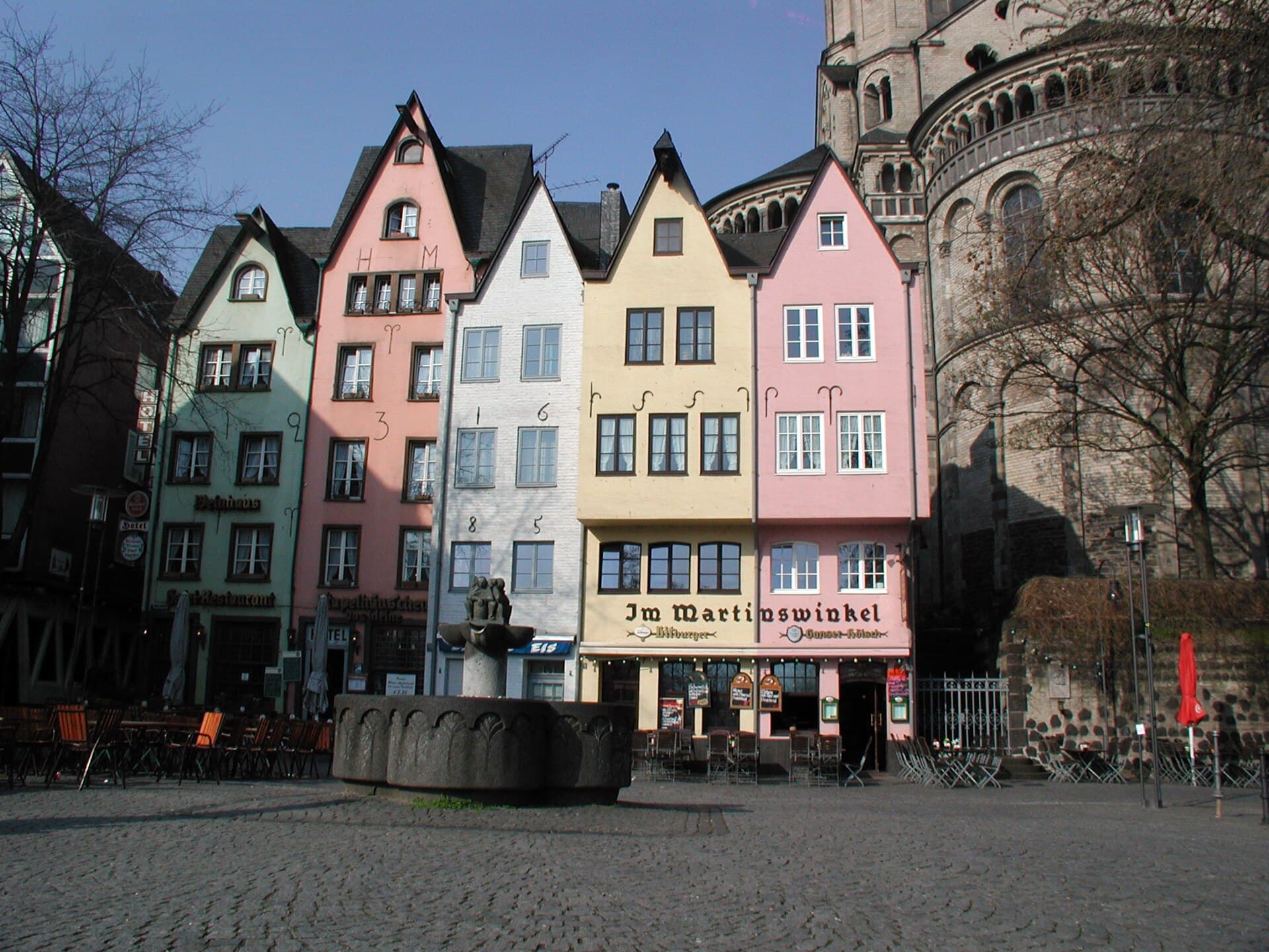 FischmarktThe Fischmarkt is a small triangular square on the Rhine bank behind Great St. M2 minutes walk4.3
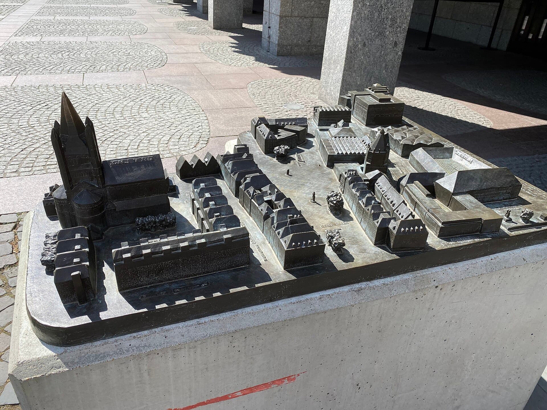 Great St. Martin ChurchGreat St. Martin is a Romanesque church in Cologne's old town, its square tower 2 minutes walk4.5
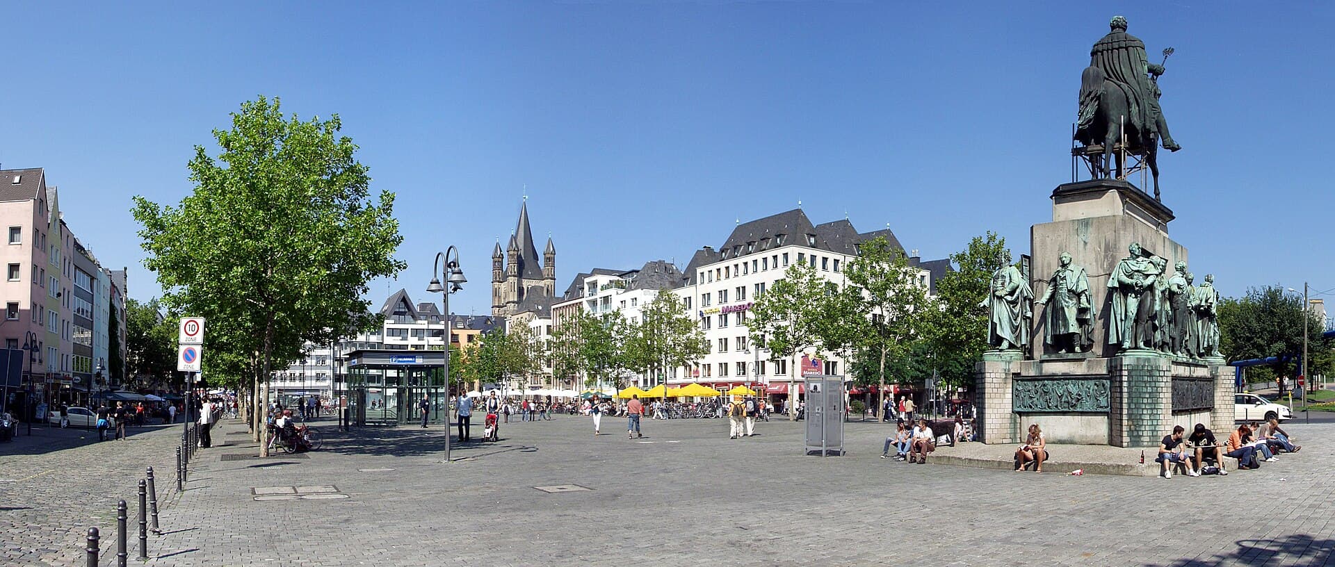 HeumarktHeumarkt is one of Cologne's largest old squares, adjoining the Alter Markt but 3 minutes walk4.7
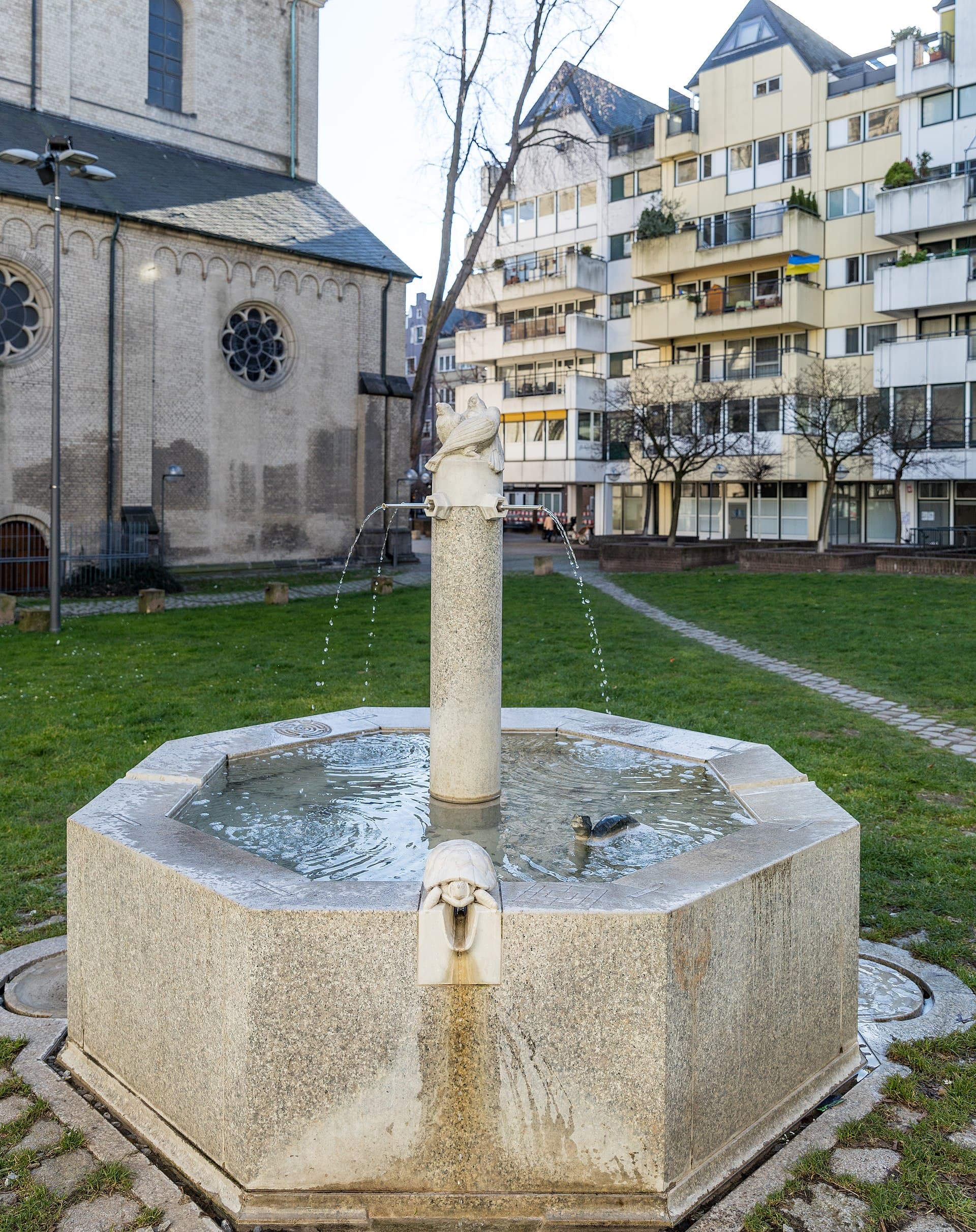 The Animal FountainA bronze fountain near the church of Gross St Martin in Cologne's old town, by t3 minutes walk4.3
Ten minutes, and only if you are already walking the river. The flood marks are genuinely interesting and explain the city's relationship with the Rhine. But it is not a reason to change your route.