Rock staircase
Carved into the summit.
Halley Pacheco de Oliveira — CC BY-SA 3.0 · Edson S. Moreira — CC BY-SA 3.0 · Rubens de Camargo Vianna Filho — CC BY-SA 4.0 · Paulo Cattelan — CC BY-SA 4.0 · TMbux — CC BY-SA 3.0
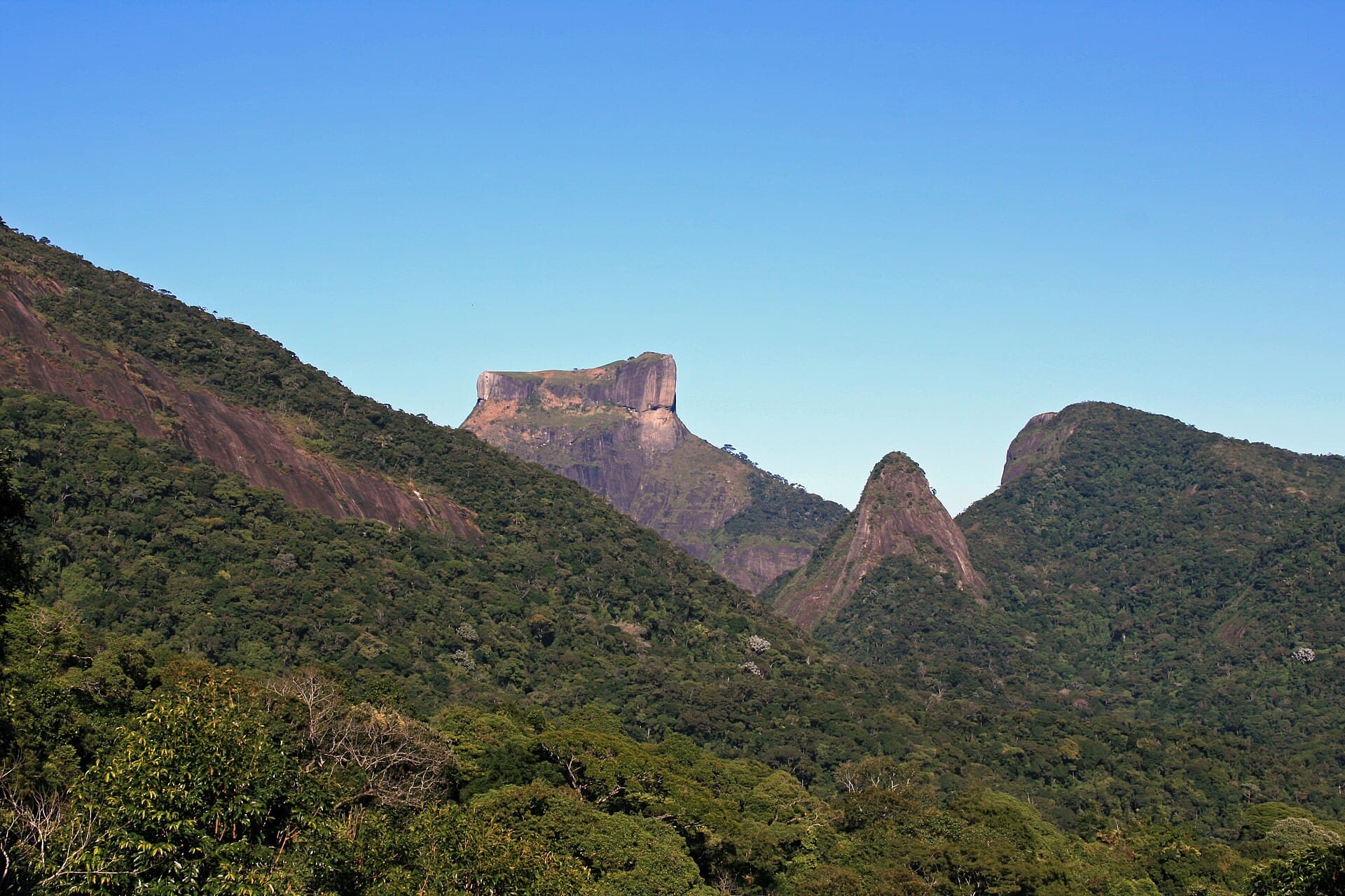
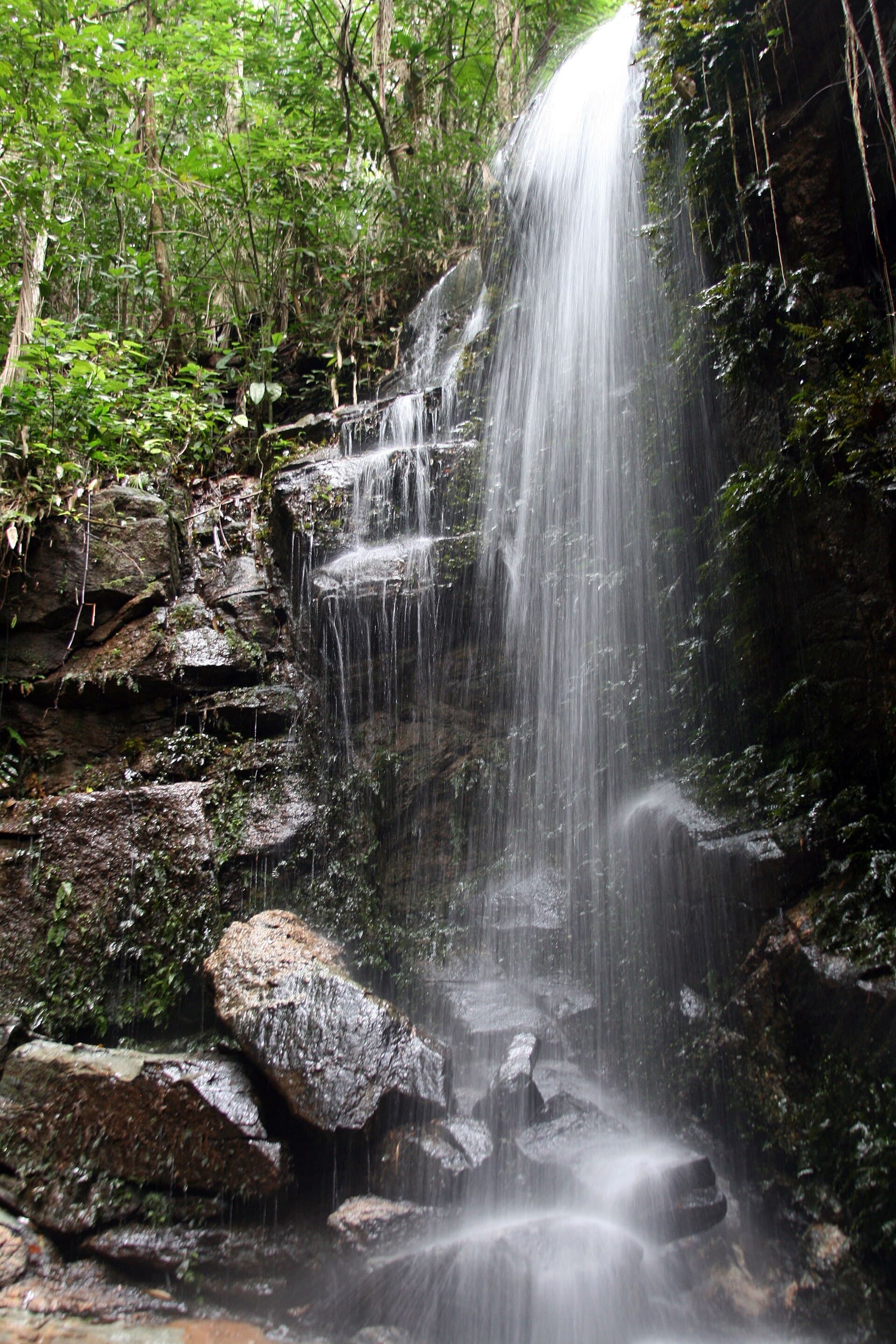
Pico da Tijuca is the highest point of Tijuca National Park and the most prominent peak in Rio's urban area, rising about 1,021 metres above an Atlantic forest that was replanted in the 19th century after coffee farms had stripped the slopes. The park itself, created in 1961, covers about 4,000 hectares and is one of the largest urban forests in the world. The trail starts at the Bom Retiro car park deep in the «Forest sector» and climbs for about an hour and a half in the shade, passing the turn-off to the Bico do Papagaio peak, before ending in a staircase cut into the rock that leads to the summit. From the top the city opens from north to south: Guanabara Bay, Sugarloaf and Christ the Redeemer, and on clear days Barra da Tijuca and the ocean. The climb is free and moderate. Go in the morning, since cloud often covers the summit in the afternoon, and get to Bom Retiro by car or taxi, as it is a long way from the park gate.
Carved into the summit.
A replanted urban forest.
Rio from north to south.
Trailhead at Bom Retiro, Tijuca National Park (Forest sector), Rio de Janeiro
About an hour and a half up from the Bom Retiro car park, and three to four hours return with a rest.