The full panorama
Matterhorn, Monte Rosa and the valley in one turn.
Fisheke — Public domain · Roy Egloff — CC BY-SA 4.0 · Whgler — CC BY-SA 3.0 · FrDr — CC BY-SA 4.0
The Rothorn ("red horn") is a 3,103-metre peak above Zermatt that crowns the Sunnegga–Blauherd–Rothorn chain: you ride the underground funicular and then two successive cable cars to reach an exposed rock platform surrounded by a 360-degree panorama — the Matterhorn to the south, Monte Rosa and the four-thousander chain to the east, and the whole Zermatt valley below you. Its advantage over Gornergrat is that it is **far less crowded**, offers the closest angle on the Matterhorn from the north, and is the starting point for Zermatt's best walks: the descent to **Blauherd** and from there the **Five Lakes Trail** (about two and a half to three hours), or the harder Höhbalmen route for a full mountain day. At the summit are a small restaurant and a platform, and the distinctive red soil that gave the mountain its name. Walking in summer; in winter, a wide ski area.
Matterhorn, Monte Rosa and the valley in one turn.
The rock that gave the mountain its name.
Rothorn, 3920 Zermatt
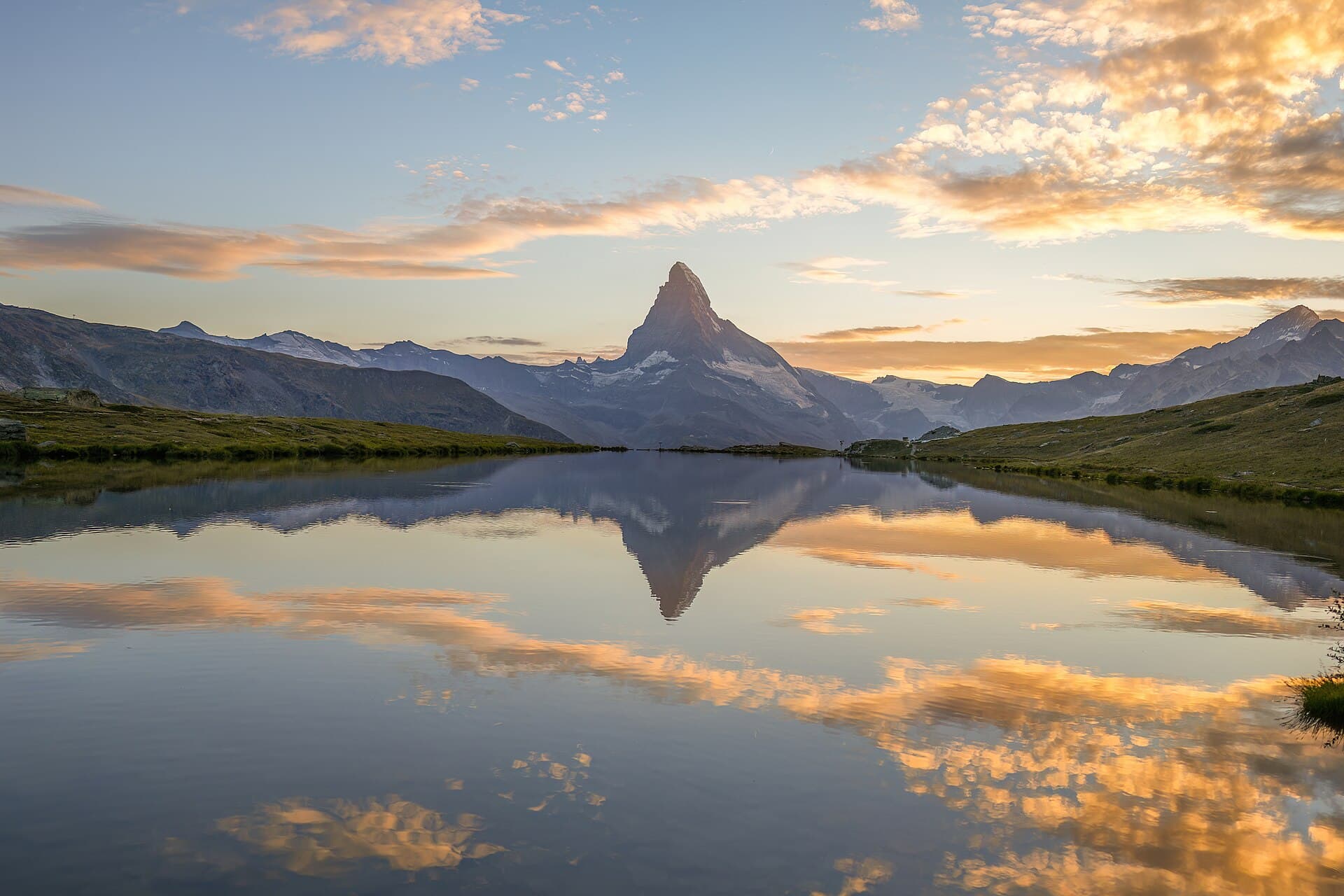
Zermatt's most famous walk: it usually starts at **Blauherd** (by cable car) and descends to Sunnegga past five lakes — Stellisee, Grindjisee, Grünsee, Moosjisee and Leisee — three of which reflect the Matterhorn, the most famous being **Stellisee**. The route is about 9 km and a gentle descent in two and a half to three hours, relatively easy in walking shoes. Go in the morning for the reflections.