Viewpoints
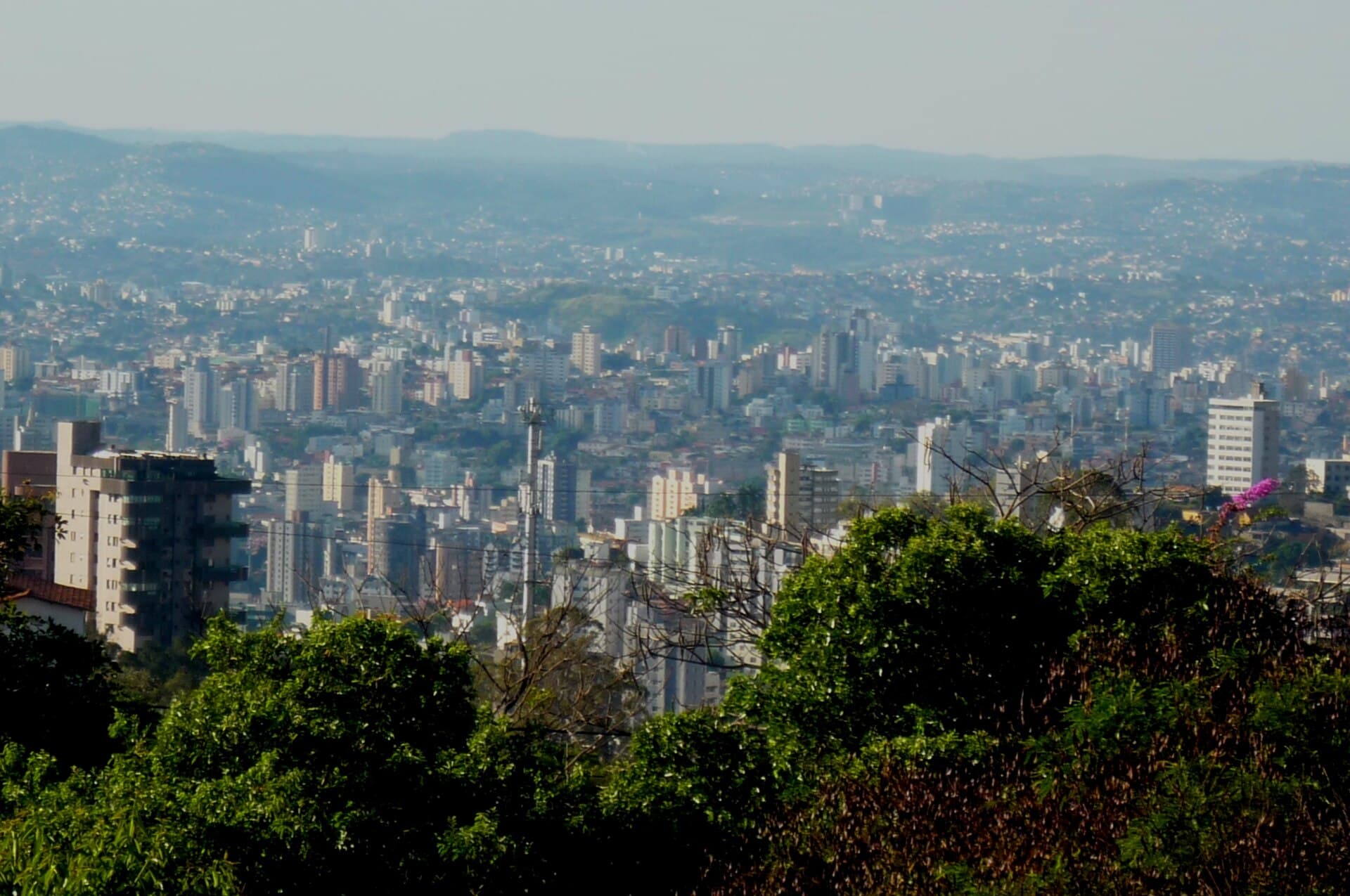
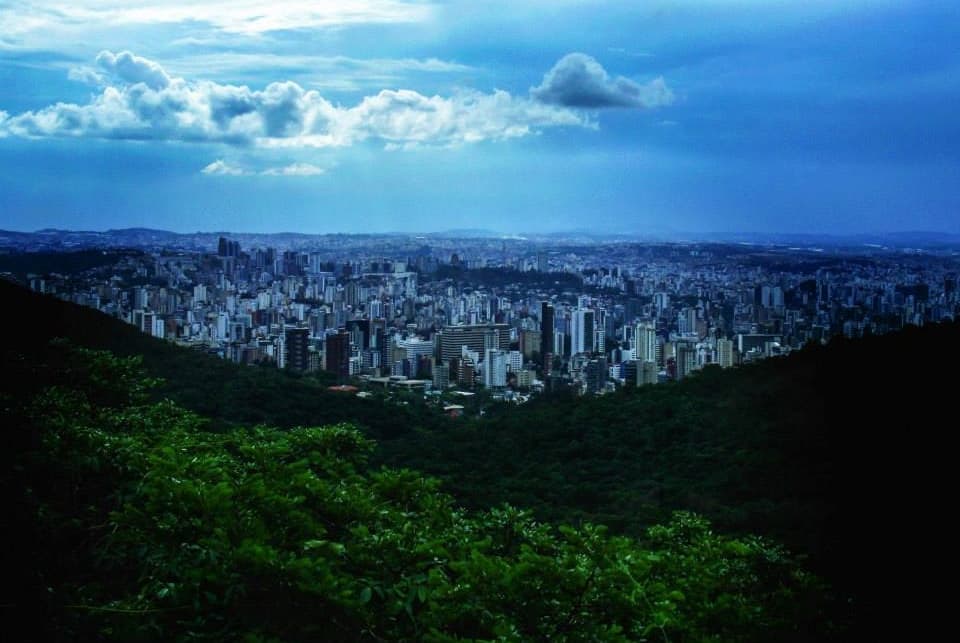
The whole city below.
Rodrigocabral2019 — CC BY-SA 4.0 · Álvaro Américo Moreira Sales — CC BY-SA 4.0 · Guilhermepaulacampos — CC0 · Bernardo Gouvêa — Public domain · Cmasi — CC BY-SA 4.0
Serra do Curral is the ridge that forms Belo Horizonte's southern boundary and part of the Espinhaço range, Brazil's only true mountain chain. It rises between 1,100 and 1,350 metres, its highest point, Pico Belo Horizonte, reaching 1,390 metres, and its plants shift from rocky grassland on top to cerrado and then remnants of Atlantic forest. Its name comes from «Curral del Rei», the old name of the village on whose site the new capital of Minas Gerais was built in 1897; the area was cattle pasture and the rocks were said to look like a corral. Since 1955 its summits have carried television masts, and in a 1995 public vote residents chose it as the symbol of Belo Horizonte, ahead of the Pampulha church and lake. You can climb it through the Serra do Curral Municipal Park in Mangabeiras, on trails to viewpoints with the whole city spread out on one side and green valleys and iron mines on the other. Entry is free; go in the morning in the dry season for the clearest horizon.
The whole city below.
Highland plants.
Green trails.
Serra do Curral Municipal Park, Mangabeiras, Belo Horizonte
Residents chose it in a 1995 public vote; it forms the city's southern edge and takes its name from the old village of «Curral del Rei».