
The reflected arches
Hamburg's classic image on the water.
Frank Schulenburg — CC BY-SA 4.0 · Daniel Schwen — CC BY-SA 2.5 · Frank Schulenburg — CC BY-SA 4.0 · NOTE: This image is a panorama consisting of multiple frames that were merged or stitched in software. As a result, this image necessarily underwent some form of digital manipulation. These manipulati — CC BY-SA 3.0
The Alster Arcades are a white arcaded walk running along the bank of a canal in the heart of Hamburg, its successive arches reflected in the water — the scene that appears in most classic images of the city, particularly with the red town hall behind it. They were built after the Great Fire of 1842, which consumed a third of the old city in three days. Reconstruction was an opportunity to replan, and this arcade was deliberately designed in an Italian Mediterranean manner — an outwardly odd decision for a rainy northern city, but a practical one too: a covered walk allows shopping and strolling in the rain. Today cafes and smart shops line the arches, and sitting at the canal's edge is among the finest things in the city centre. Small boat trips through the Alster canals also start nearby — and Hamburg has more bridges than Venice and Amsterdam combined, which this is the best place to notice.
Hamburg's classic image on the water.
More bridges than Venice and Amsterdam combined.
Alsterarkaden, 20354 Hamburg
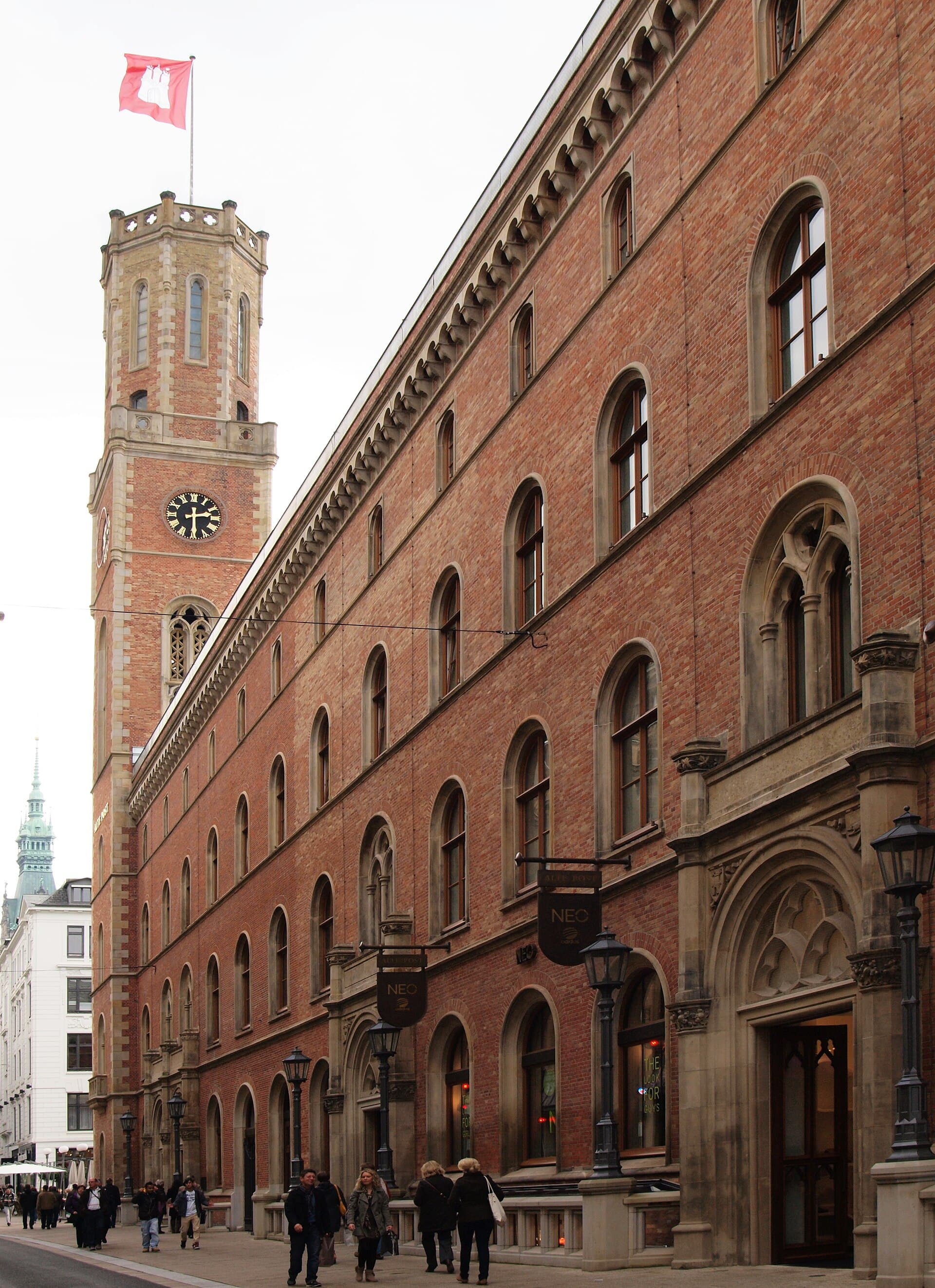 The Alte PostA building of 1847 in central Hamburg, built as the main post office, and among 2 minutes walk4.8
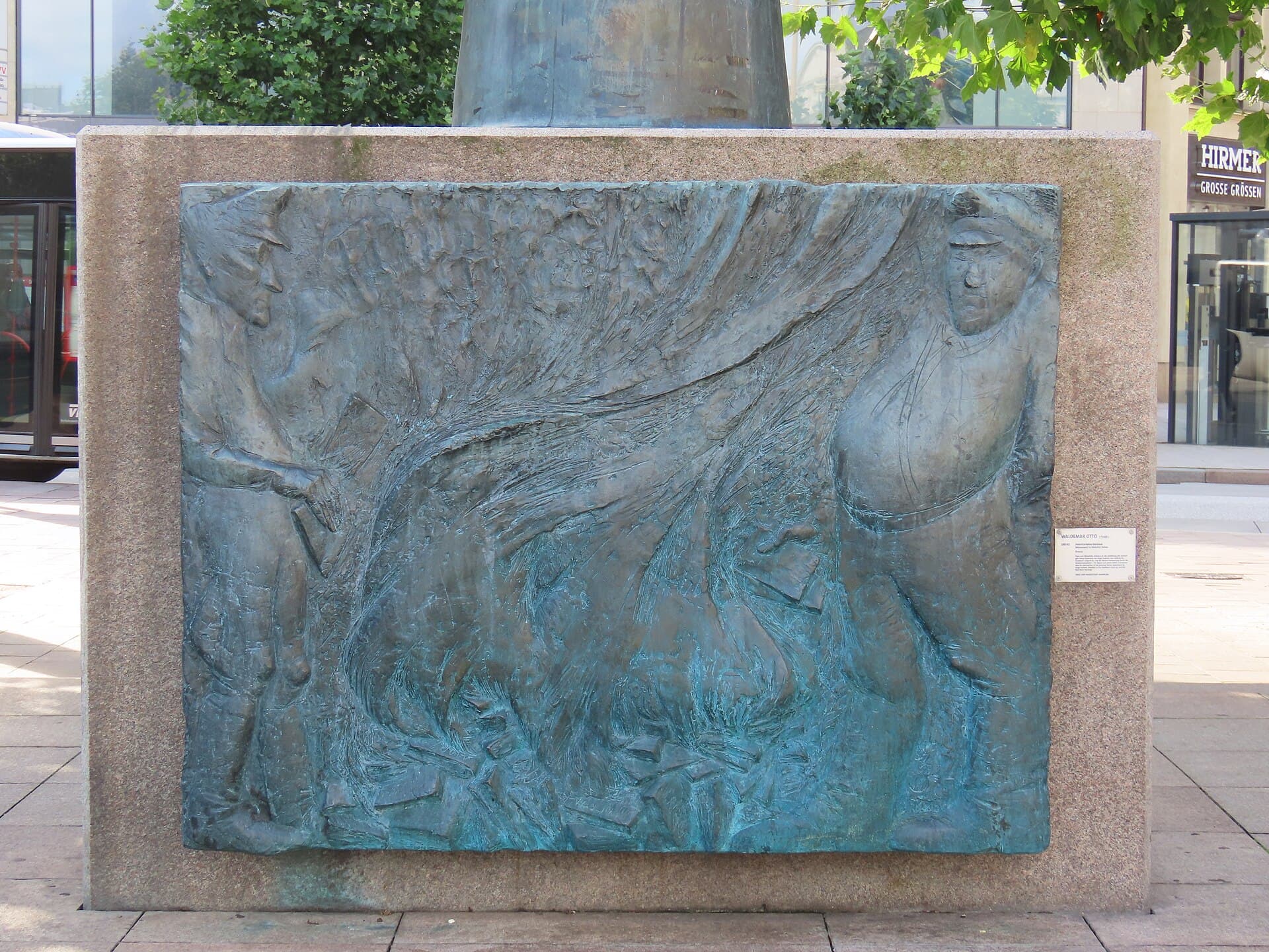 The Heinrich Heine MonumentA monument to the German poet Heinrich Heine in central Hamburg, whose history m2 minutes walk4.3
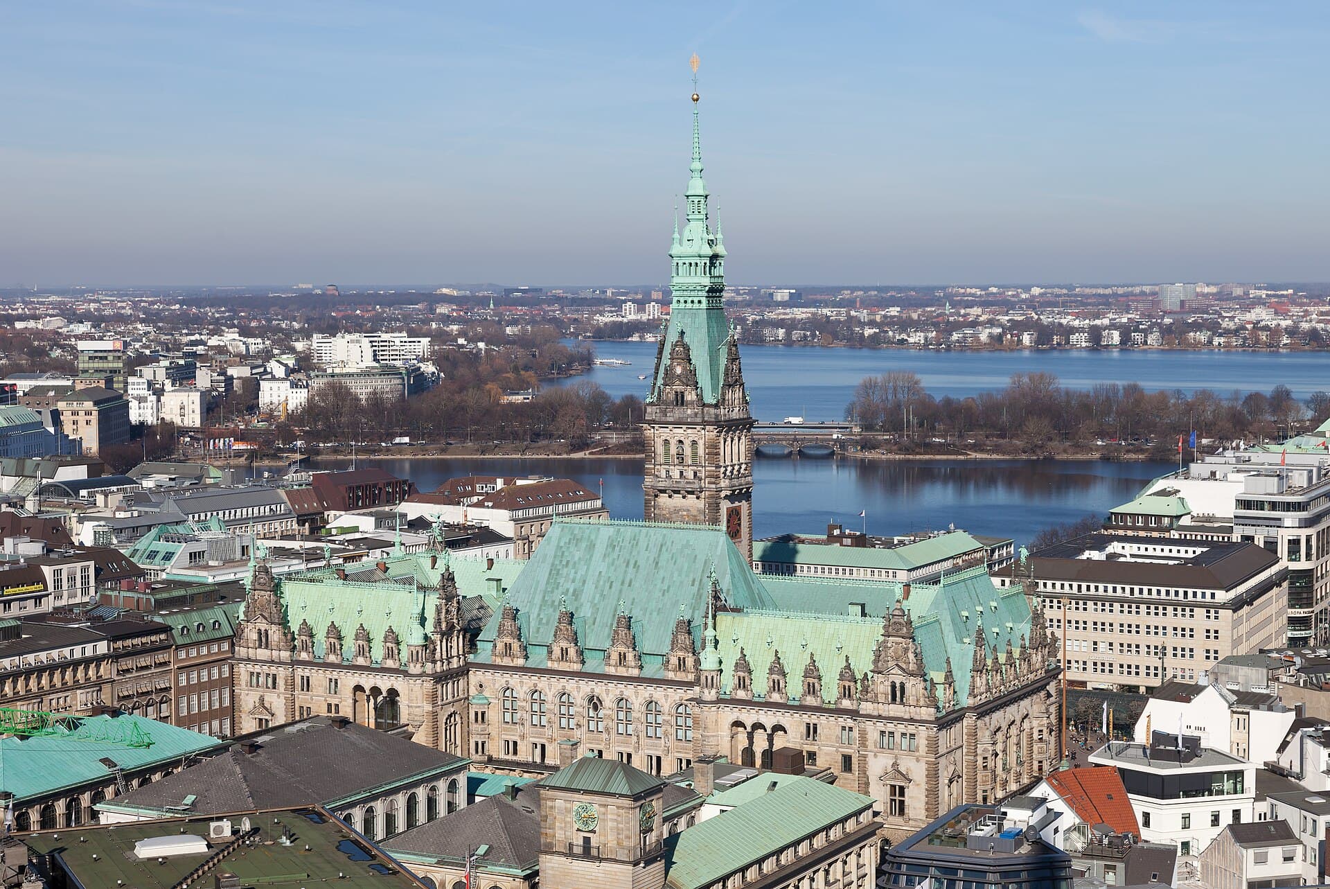 Hamburg City HallHamburg's Rathaus is among the grandest city halls in Europe, finished in 1897 w2 minutes walk4.8
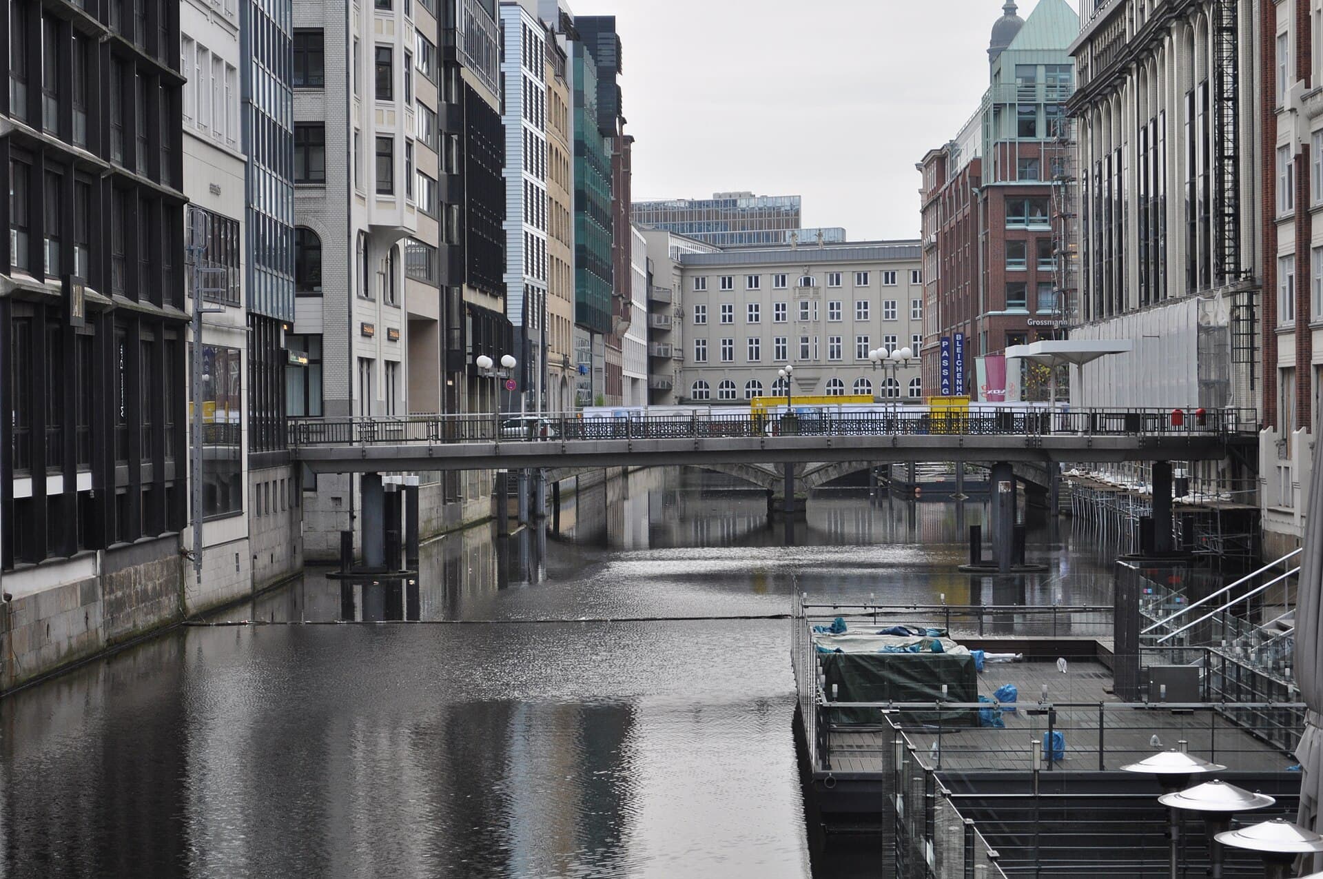 BleichenfleetThe Bleichenfleet is one of the Fleete — the old canals cutting through central 5 minutes walk4.6
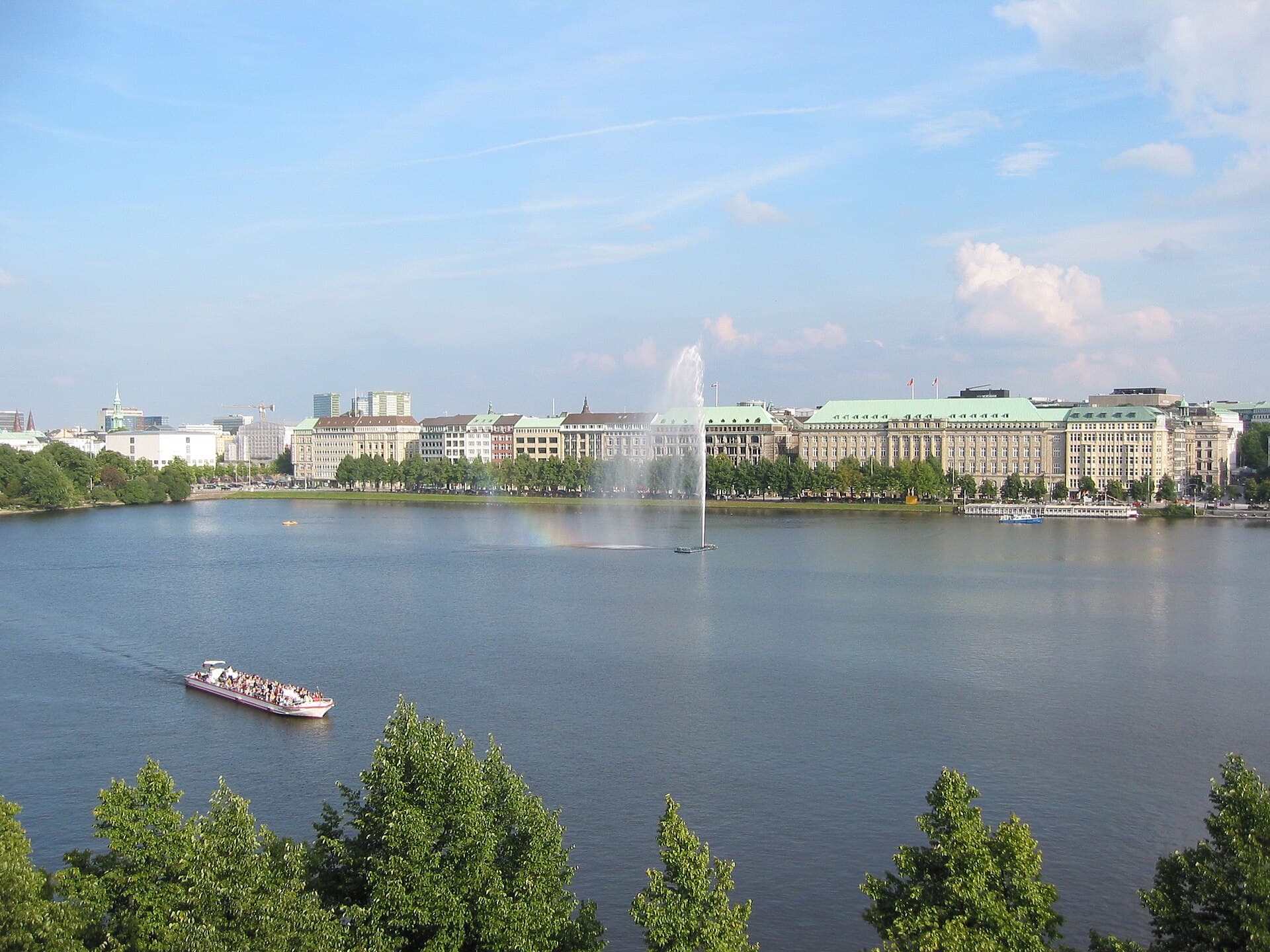 BinnenalsterThe Binnenalster is a roughly square lake in the middle of Hamburg, originally p5 minutes walk4.9
Yes, and by a wide margin: Hamburg has over two thousand, more than Venice, Amsterdam and London combined. The reason is that the city is built on two rivers, a canal network and extensive port basins, so the count includes everything crossing a waterway, railway and motorway bridges included — which is why the figure is larger than a visitor expects.