
Schooner trips
Along the canal.
Fulviusbsas — CC BY-SA 4.0 · Fulviusbsas — CC BY-SA 4.0 · Fulviusbsas — Public domain · Newton paz peres — CC BY-SA 3.0 · Halley Pacheco de Oliveira — CC BY-SA 3.0 · Halley Pacheco de Oliveira — CC BY-SA 3.0 · Halley Pacheco de Oliveira — CC BY-SA 3.0 · Frenz 69 — CC BY-SA 3.0
The Itajuru Canal is a navigable waterway about six kilometres long linking the great Araruama lagoon to the Atlantic Ocean, most of it in Cabo Frio and part in São Pedro da Aldeia. Its best-known point is in the town centre, opposite the Gamboa district. A promenade and a craft market run along its bank, and schooners leave from here on trips along the canal, past the mansions that face it, to several beaches and the Ilha do Japonês. At the end of Avenida dos Pescadores lies the small São Bento beach. In 1907 a nine-metre statue was set up in the canal's waters to mark the opening of the lagoon's channels, which made it easier for salt ships to reach the town; the current later tilted it. In recent years the canal was widened to renew the lagoon's water. Walking the bank is free; boat trips are paid.
Along the canal.
And craft market.
At the end of the avenue.
Avenida dos Pescadores, Gamboa, central Cabo Frio, Rio de Janeiro state
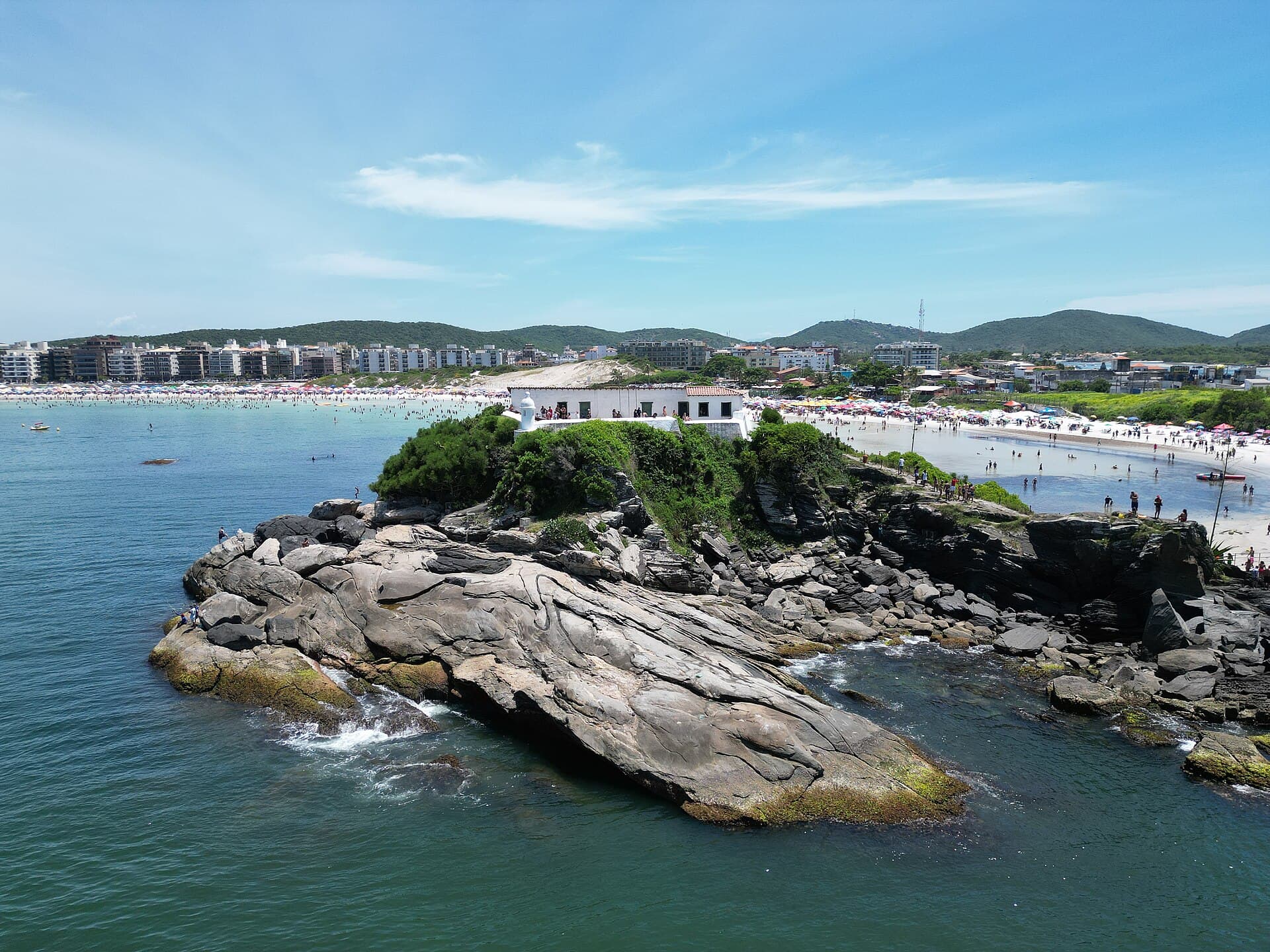 Forte São MateusThe Fort of São Mateus stands on a small rocky islet at the north-east end of Pr16 minutes walk4.6
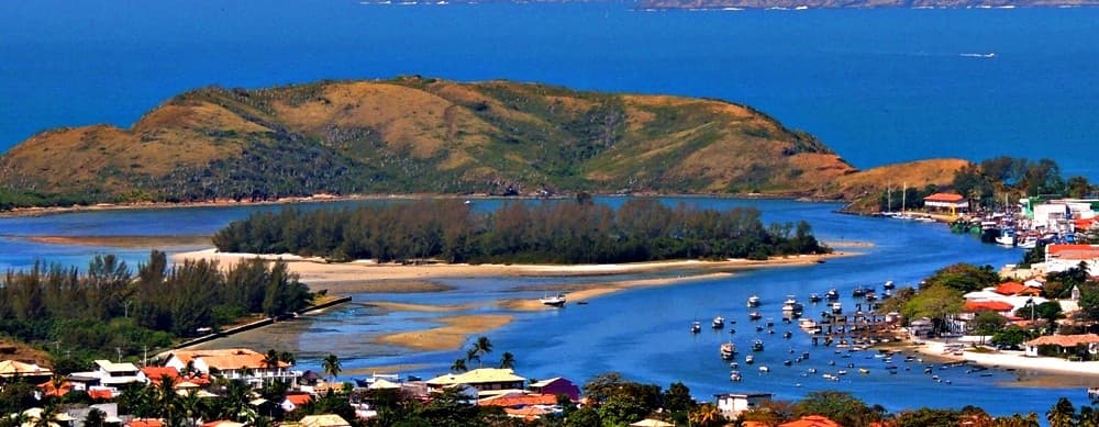 Ilha do Japonês, Cabo FrioIlha do Japonês, «the Japanese Man's Island», is a small island in the Itajuru C18 minutes walk4.3
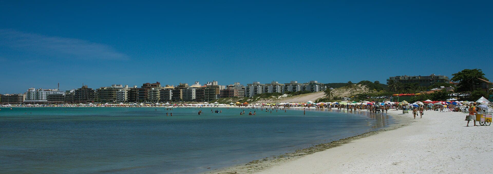 Praia do Forte, Cabo FrioPraia do Forte is the main beach of Cabo Frio, a resort in the Lakes Region east20 minutes walk4.7
From the canal bank in the centre, opposite Gamboa.