
The morning peak
A continuous river of bicycles, the clearest image of Copenhagen.
Orf3us — CC BY-SA 3.0 · Frederik Riise — Public domain · Peter Elfelt — CC BY-SA 4.0 · Dansk Lystrykkeri — Public domain
A short bridge across the Copenhagen lakes joining the **Nørrebro** district to the city centre, and better known than many of the city's monuments for one reason: **the number of bicycles that cross it**. On an ordinary day **more than forty thousand bicycles** pass over it — one of the busiest cycle crossings in the world, and many times the number of cars. At the morning peak it becomes a continuous river of people on two wheels, and it is the single clearest picture of what is meant when Copenhagen is called a cycling city. The city has widened its cycle tracks twice because they stopped being wide enough, taking the space from cars. In summer the bridge and its broad pavement become a place to sit: people settle on the stone edge with their feet over the water until late. The northern side opens into **Nørrebro**, Copenhagen's most diverse and youngest district, with markets, cafés and inexpensive places to eat.
A continuous river of bicycles, the clearest image of Copenhagen.
Feet over the water and the lakes in front, free, in summer.
The long chain of water the bridge crosses and people walk around.
Nørrebrogade, between Nørrebro and the city centre
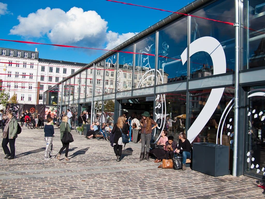 TorvehallerneTwo glass and steel market halls in central Copenhagen, opened in 2011 on a squa6 minutes walk4.6
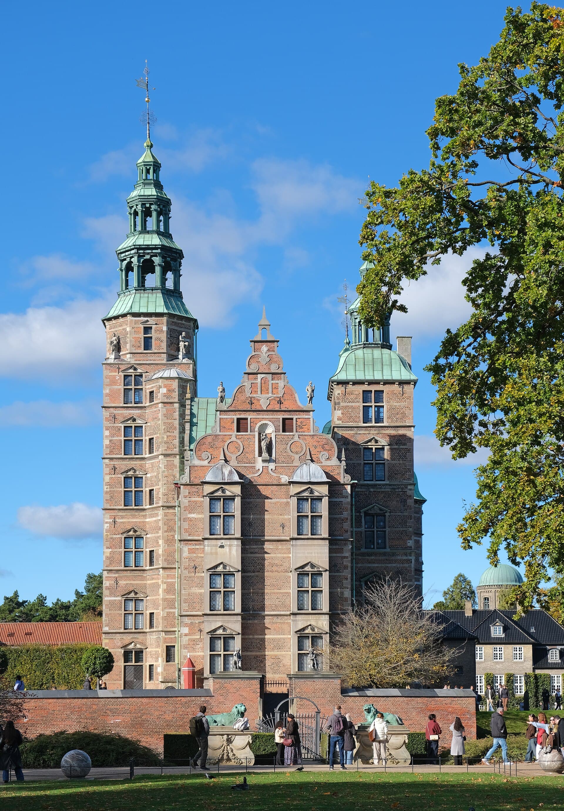 Rosenborg Castle & the Crown JewelsRosenborg is the home of Denmark's crown jewels: a Dutch Renaissance summer pala11 minutes walk4.5
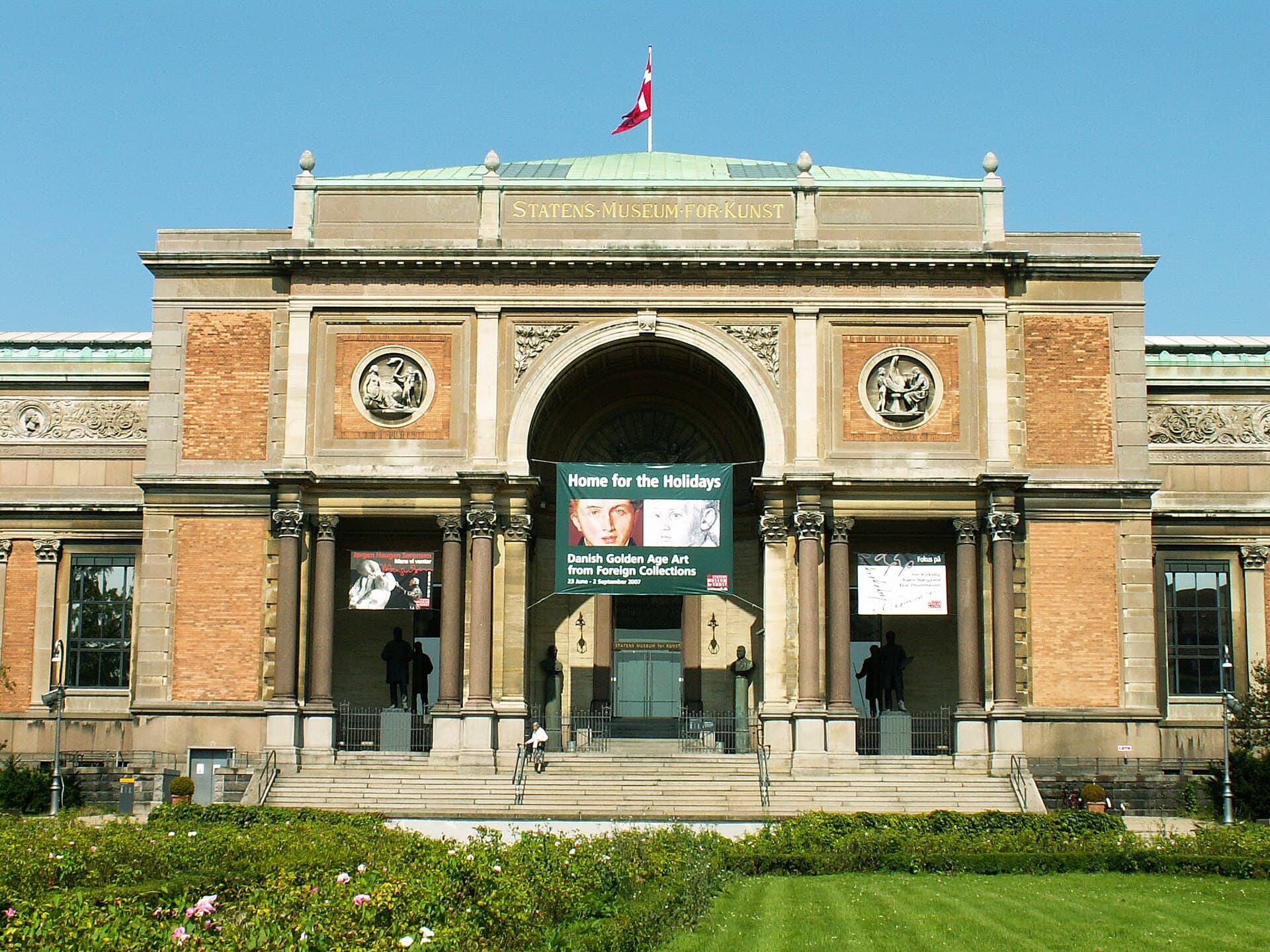 SMK — National Gallery of Denmark**SMK** is Denmark's largest art museum, built around the collection of the Dani12 minutes walk4.7
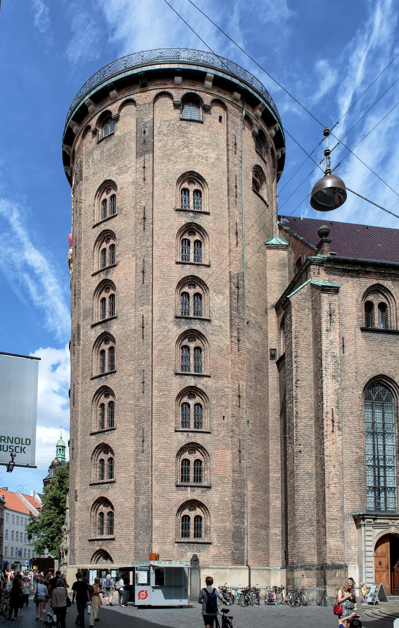 The Round TowerThe Round Tower is Europe's oldest working astronomical observatory (1642) — bui12 minutes walk4.6
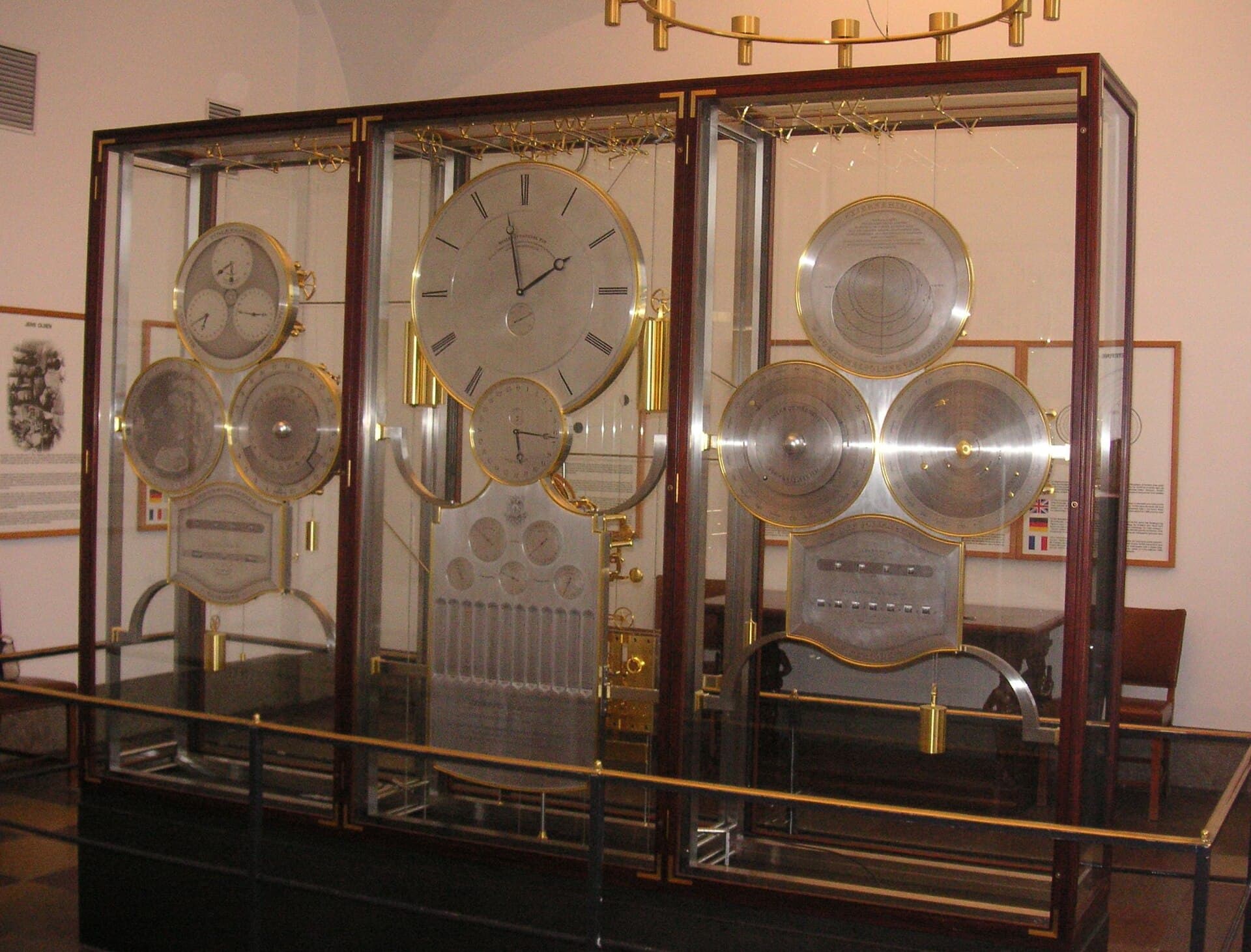 Jens Olsen's World ClockIn a small glazed room inside **Copenhagen City Hall** stands one of the most co16 minutes walk4.7
Because it was a political decision, not a national temperament. In the 1970s the city was being demolished for motorways like everywhere else; then came the **1973 oil crisis** and protests over children killed in traffic, and the municipality began building **cycle tracks physically separated from the road by a raised kerb** — and that is the crux: the track is not a painted line but a road in its own right. Add signals timed to cycling speed, bridges for bicycles only, parking at every station, and very high car taxes. The land is flat and distances short, so cycling became **genuinely the fastest option** rather than a moral one.