
A map as a political document
What is drawn, what is omitted and which name is written are all decisions.
A museum specialising in historical maps and old books, in an early twentieth-century villa north of central Bucharest, and the only museum of its kind in south-eastern Europe. The collection exceeds a thousand maps, the earliest from the sixteenth century, including Ottoman, Italian, Dutch, French and German work. The central thread is how the Romanian lands were drawn across the centuries: how Wallachia, Moldavia and Transylvania appeared in the imagination of European mapmakers, and how borders and names changed as rulers changed. This makes the museum more absorbing than its subject suggests. An old map is not only a geographical document but a political one: what is drawn and what is omitted, and which name is written for which place, are all decisions. And the beautiful ones — the Dutch above all in the seventeenth century — are works of art in themselves, with their hand colouring and their ships and sea monsters drawn at the edges. It is small and quiet and deserves an hour to ninety minutes.
What is drawn, what is omitted and which name is written are all decisions.
The seventeenth-century Dutch maps are works of art in themselves.
Wallachia, Moldavia and Transylvania as Europeans saw them over centuries.
Londra street, Bucharest
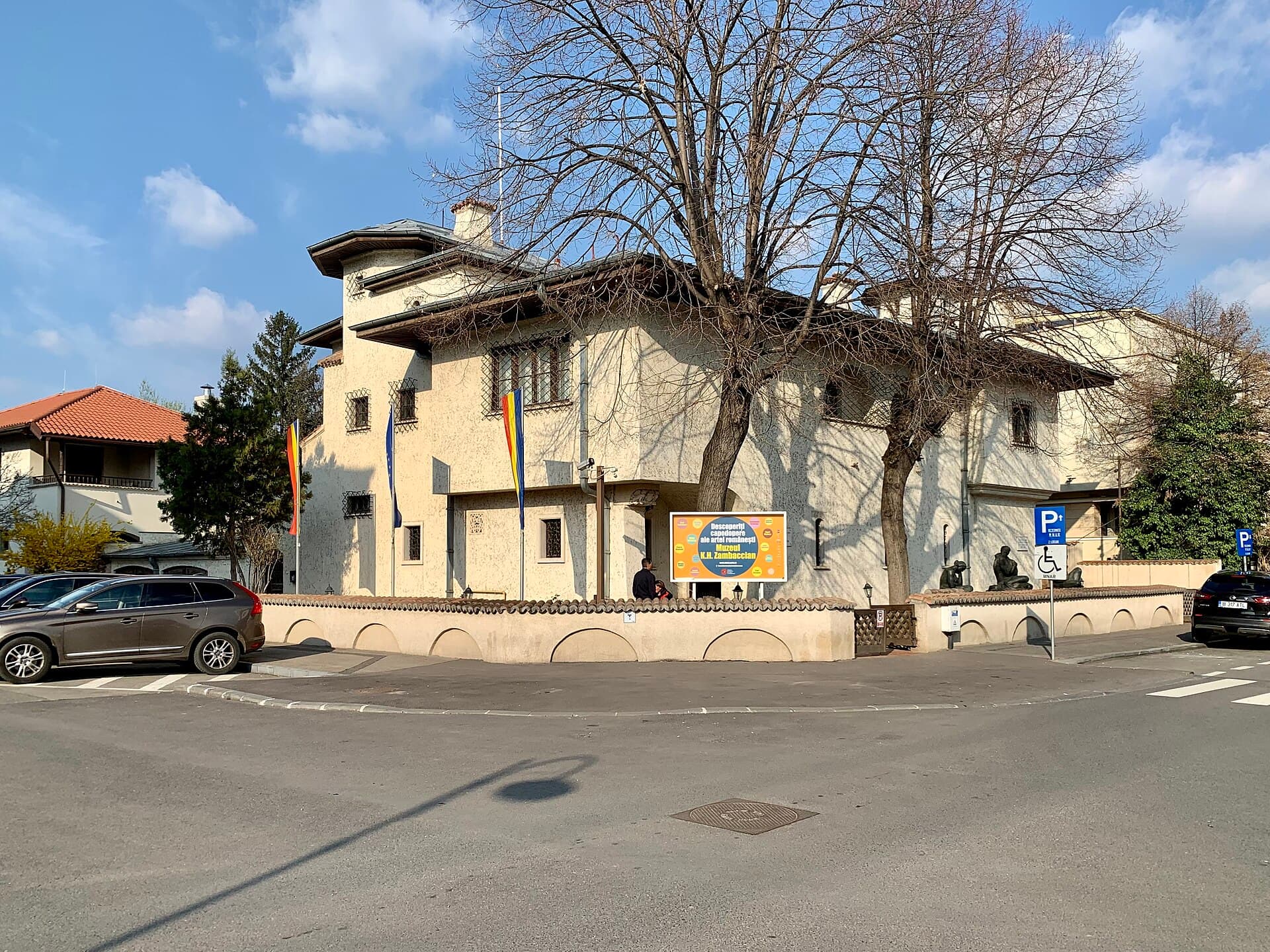 The Zambaccian MuseumThe Zambaccian Museum is the house of an Armenian-Romanian merchant, Krikor Zamb6 minutes walk4.9
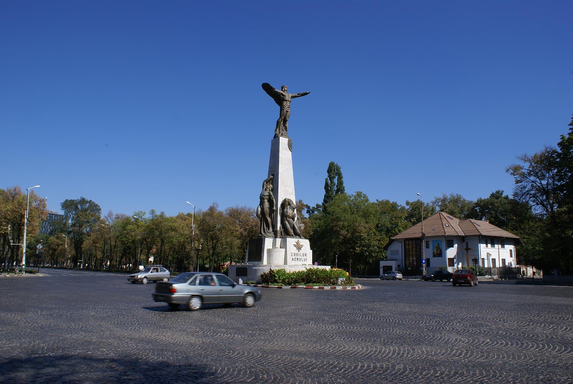 The Monument to the Heroes of the AirThe Monument to the Heroes of the Air stands at the centre of a roundabout on Bu8 minutes walk4.6
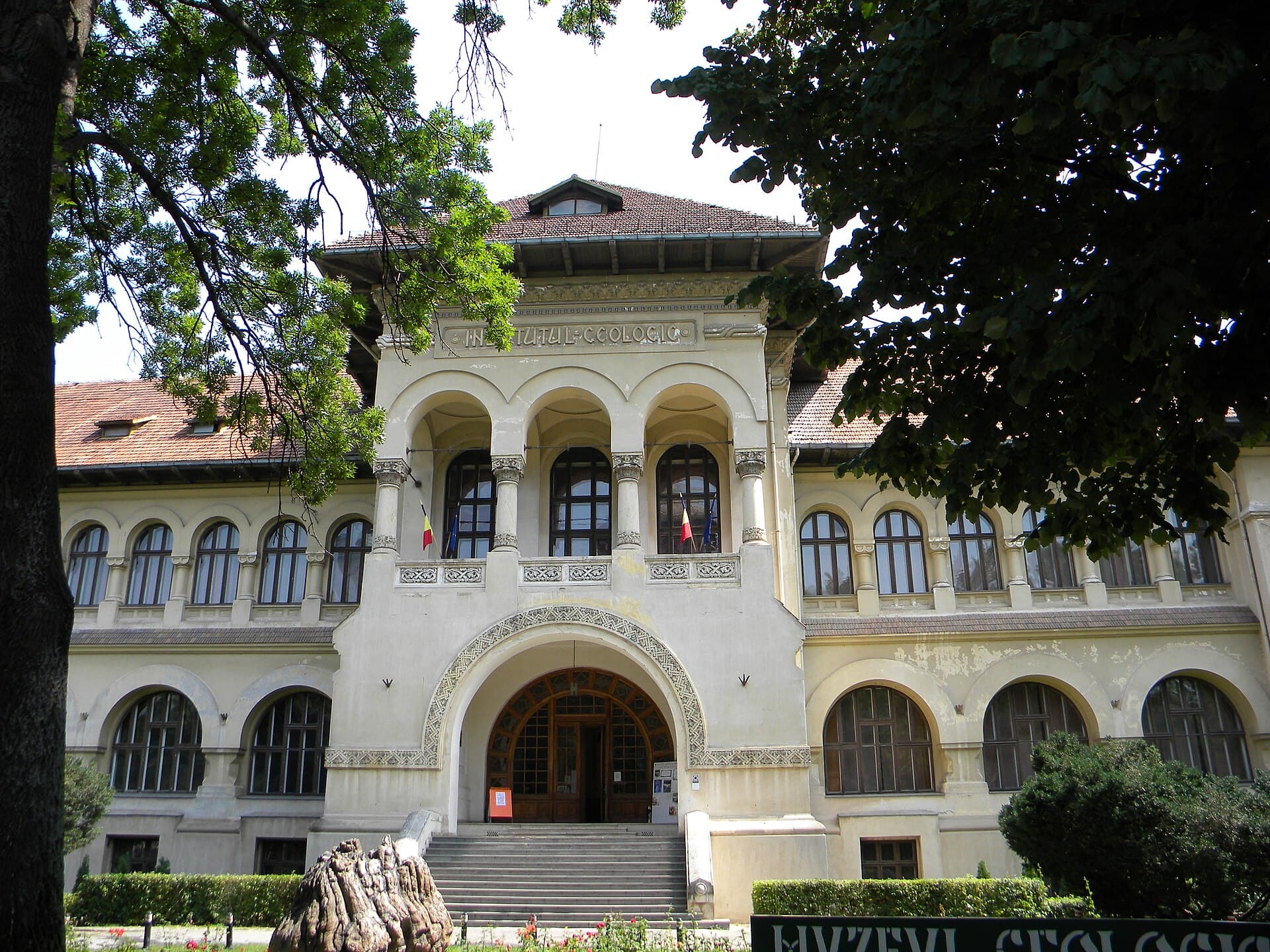 The National Geology MuseumThe National Geology Museum occupies a building of 1906 on Kiseleff avenue, dire8 minutes walk4.3
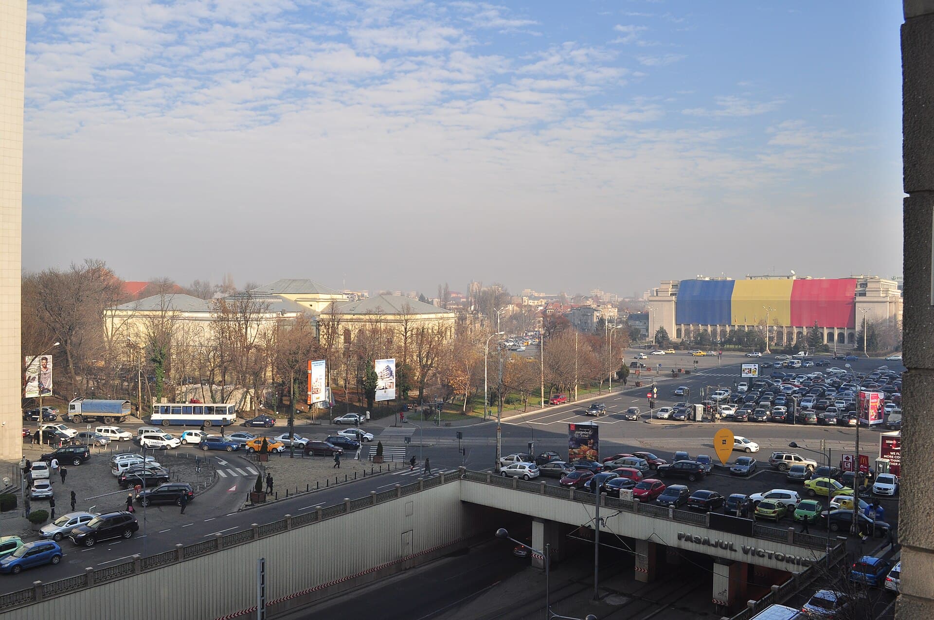 Piața VictorieiPiața Victoriei is a large junction north of central Bucharest where four main a9 minutes walk4.5
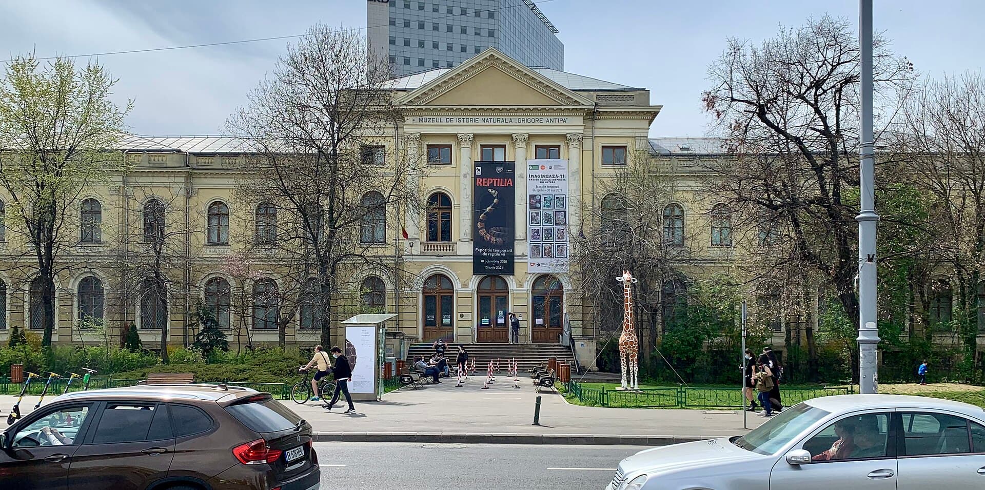 Grigore Antipa Natural History MuseumBucharest's best-loved museum for children and its most modern in display: the G10 minutes walk4.9
Because the seventeenth-century Netherlands was simultaneously the centre of printing and of global maritime trade, so money, knowledge and technique came together there. Houses such as Blaeu and Hondius produced enormous atlases sold across Europe, hand-coloured and decorated. Maps were a luxury commodity and a status symbol hung in houses, and so were made to an artistic standard beyond mere accuracy.
Children under about ten will probably be bored — the displays are two-dimensional and require reading. But older ones who like history or geography may find it genuinely interesting, particularly the drawings of monsters and ships and comparing how the shape of the world changed on paper. The visit is short in any case and can be combined with a nearby park.