
Four hundred public stairways
The Stäffele link the districts, totalling over twenty kilometres.
SteFre at German Wikipedia — CC BY-SA 2.0 de · Fyrtaarn — CC BY-SA 4.0 · Fyrtaarn — CC BY-SA 4.0 · Fyrtaarn — CC BY-SA 4.0
A classical colonnaded hall on the edge of the Weissenburgpark above Stuttgart, built in the early twentieth century as part of a private villa, and used today as a café and events space. The position is the reason. Stuttgart is built in a basin ringed on three sides by vineyard slopes — the only city in Germany with vines cultivated inside its municipal boundaries at this scale. The hall stands on one of those slopes, and the view takes in the whole basin. That geography explains Stuttgart better than any monument in it: the city cannot easily spread outward, so it grew vertically up the slopes, linked by Stäffele — long public stairways climbing between districts, more than four hundred of them totalling over twenty kilometres. Practical points: the park and the hall from outside are free and open; the café charges its own prices and the hall may close for private events. Access is uphill on foot via the Stäffele or by bus.
The Stäffele link the districts, totalling over twenty kilometres.
The slopes prevented outward growth, so the city grew upward.
The slopes are planted with vines within the municipal boundary.
Weissenburgpark, southern slopes of Stuttgart
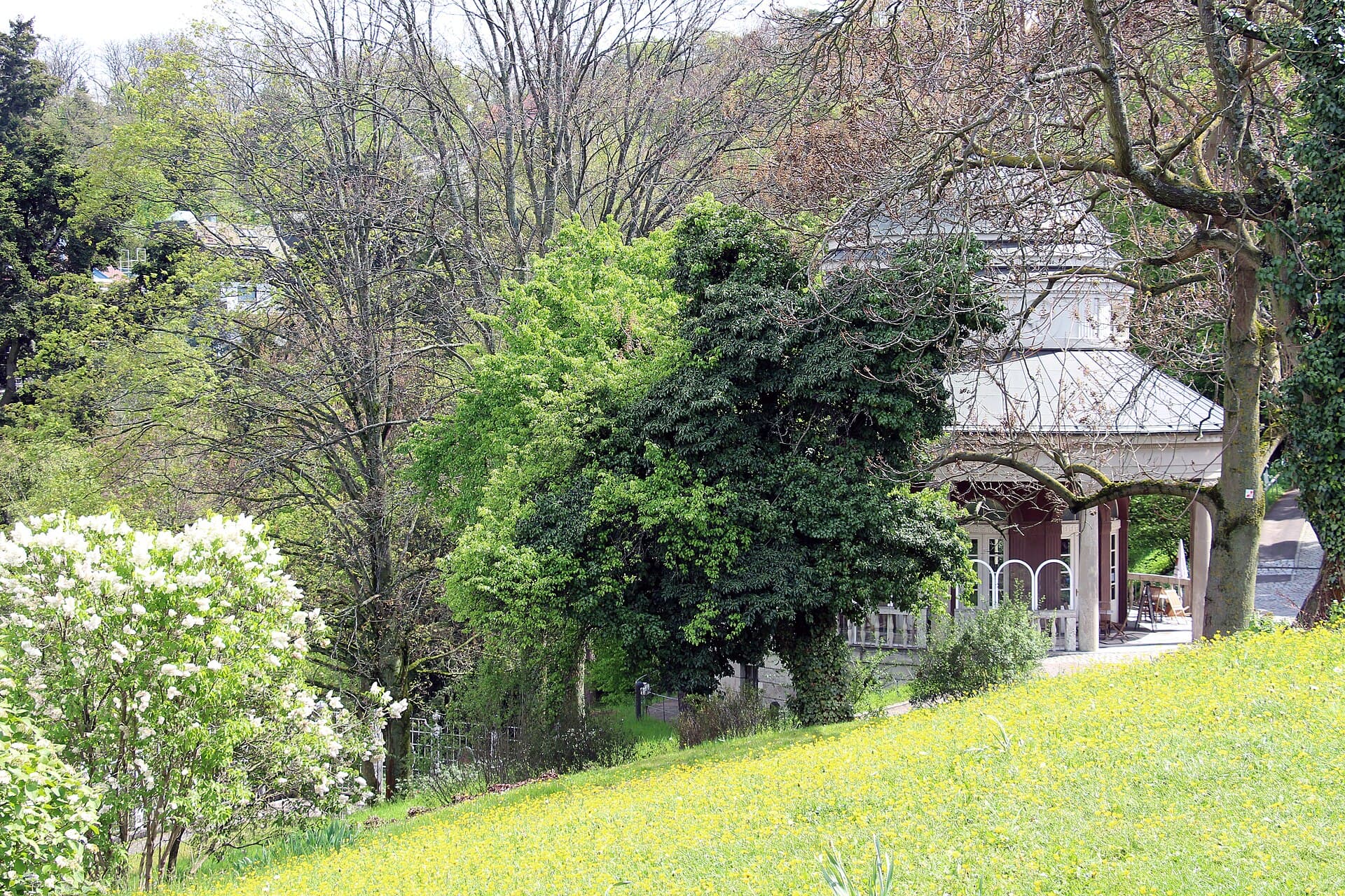 WeissenburgparkA five-hectare park on the Bopser slope in southern Stuttgart, rising above the 1 minute walk4.7
 Tagblatt TowerAn eighteen-storey office tower sixty-one metres high, built between 1924 and 1913 minutes walk4.3
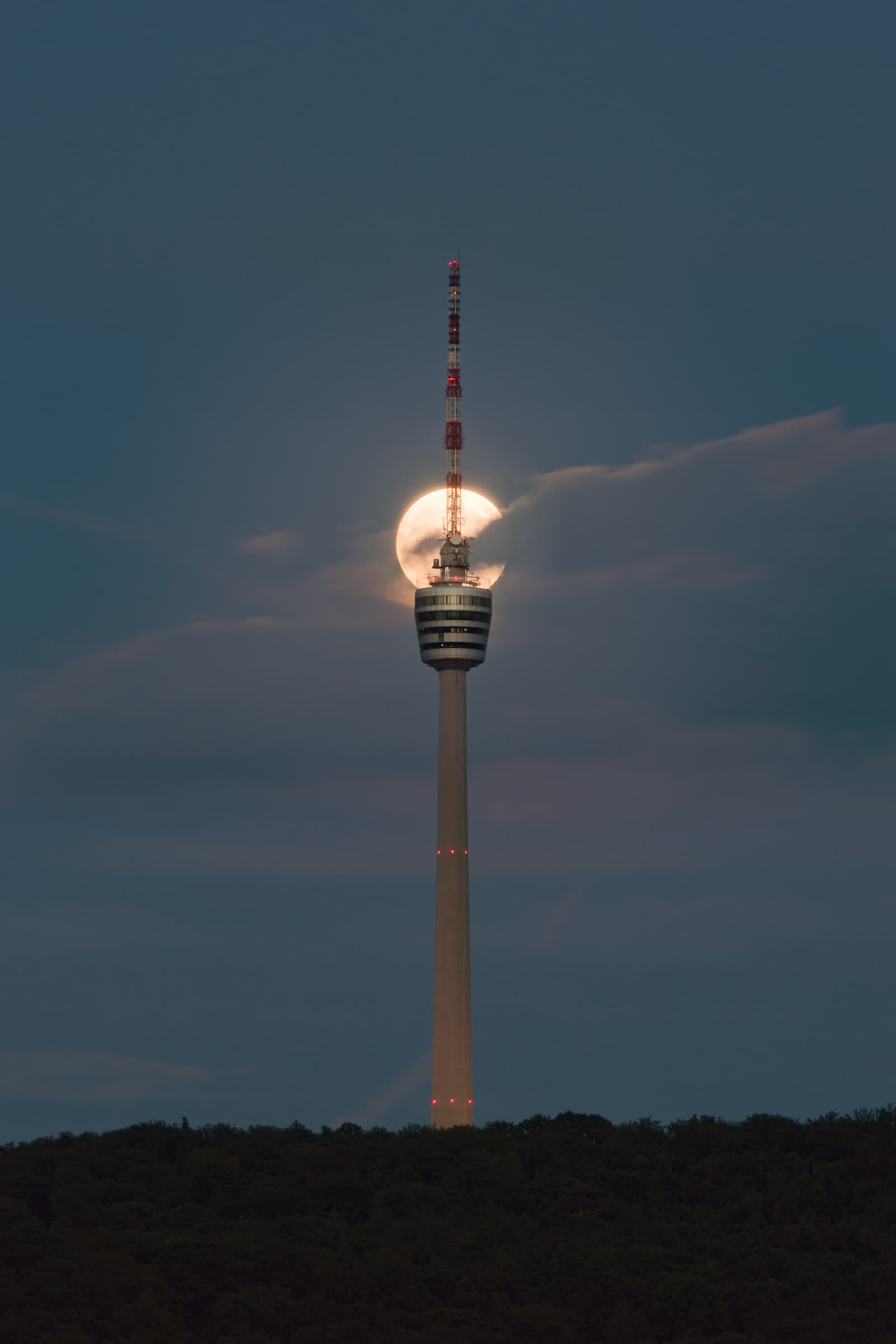 Stuttgart TV TowerA 217-metre tower on a wooded hill southeast of Stuttgart, and the first concret14 minutes walk4.5
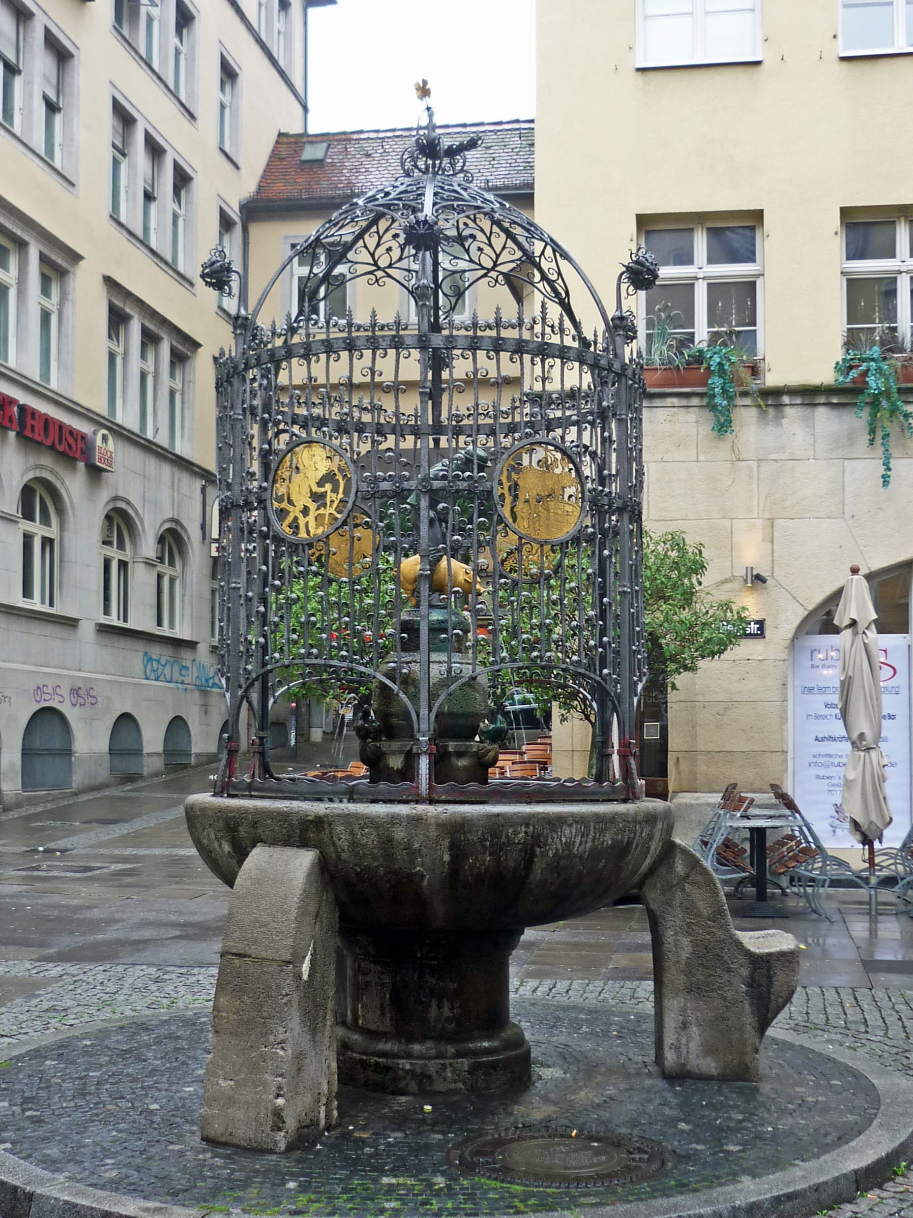 The Hans im Glück FountainA fountain in central Stuttgart depicting Hans in Luck, the hero of one of the B14 minutes walk4.4
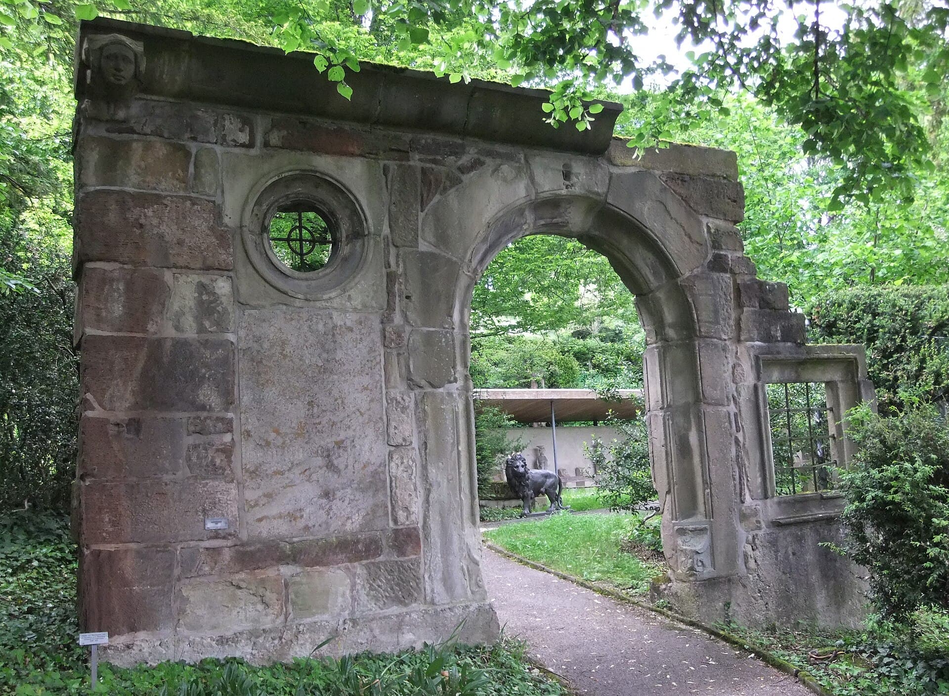 Stuttgart Municipal LapidariumAn open-air museum of stone on a terraced slope in southern Stuttgart, run as pa15 minutes walk4.7
Open-air public stairways linking Stuttgart's hillside districts to its centre in the basin. They were built originally to serve vineyard workers on the slopes, and became a formal pedestrian network as the city expanded. There are more than four hundred of them totalling over twenty kilometres, and they are part of the transport system rather than mere steps — many have names, signs and lighting.
Yes on a clear day. The view takes in the whole Stuttgart basin and the planted slopes around it, and it is the clearest explanation of the city's shape. The walk up is fairly demanding, but a bus gets close if you would rather avoid it.