
The water terraces
Wooden steps down to the river that people sit on.
RhinoMind — CC BY-SA 4.0 · RhinoMind — CC BY-SA 4.0 · RhinoMind — CC BY-SA 4.0 · RhinoMind — CC BY-SA 4.0
The oldest public park in Aarhus, and its smallest and most used — on the river bank directly below the **ARoS** museum. It opened in 1857 on the site of an old mill, which is where its name comes from. It was completely redesigned in 2015 when the **Aarhus River was uncovered** where a street had covered it. That is the park's more important story. The river the city sits on was **buried under asphalt** from 1930 to carry cars, and in the 1990s the municipality decided to remove the road and reopen the channel. The project took years and changed the whole centre: the river got two banks with cafés along them, and walking beside water became an everyday habit. The park today is wooden terraces stepping down to the water, a lawn, a playground, and a concrete deck used for skating and events. Directly above it is the coloured ring of **ARoS**, and the park is the best angle to photograph it from below.
Wooden steps down to the river that people sit on.
The best spot to photograph the coloured ring from below.
The reopened channel runs from here through the whole centre.
Vester Allé, Aarhus
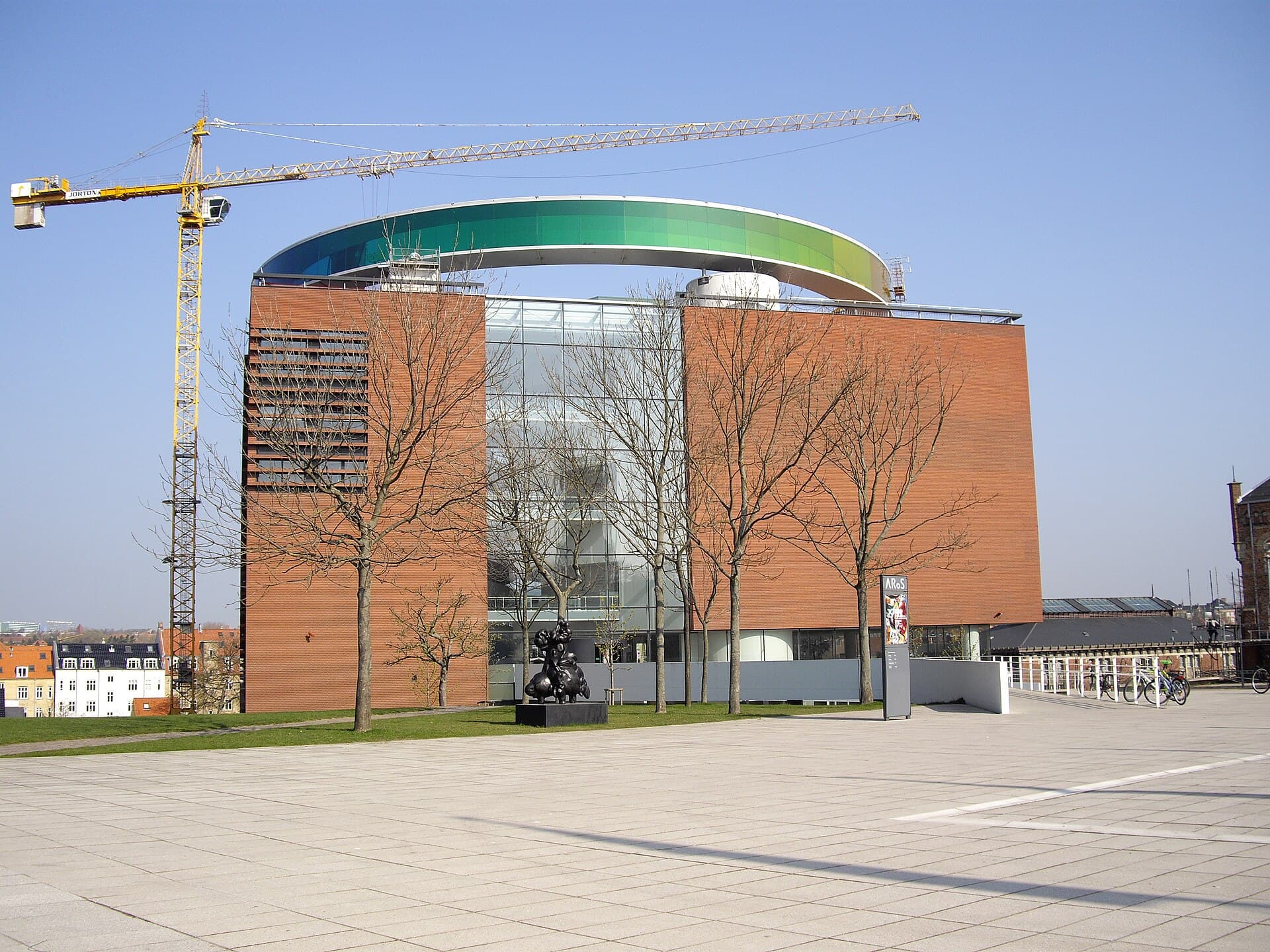 ARoS & its Rainbow PanoramaARoS is the museum known for its roof before its collection: Your Rainbow Panora3 minutes walk4.6
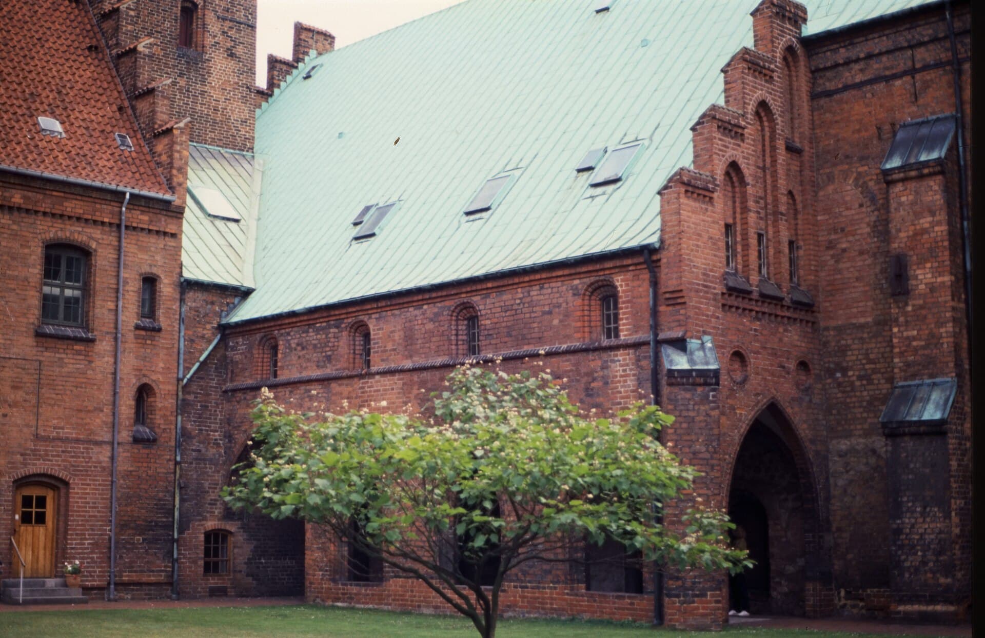 Church of Our Lady, AarhusAn ordinary-looking church from outside, hiding beneath it the oldest standing s4 minutes walk4.6
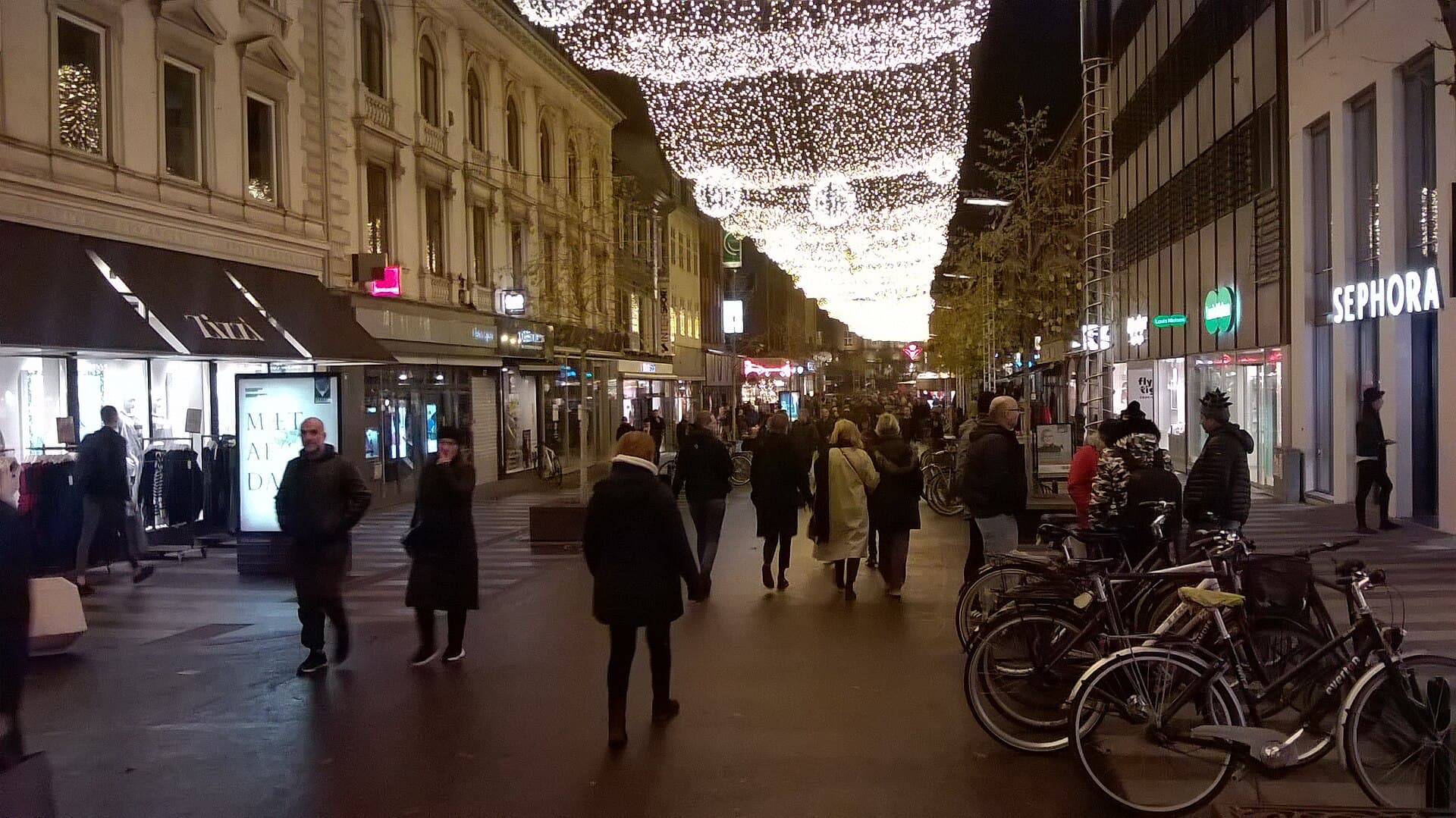 StrøgetThe main pedestrian street in Aarhus, running through the city centre north from5 minutes walk4.3
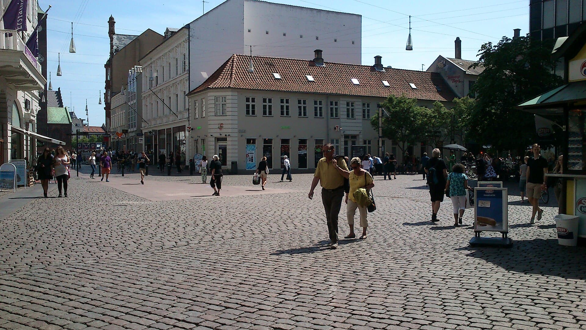 Lille TorvA small square in the heart of old Aarhus, its name meaning the little square, d6 minutes walk4.4
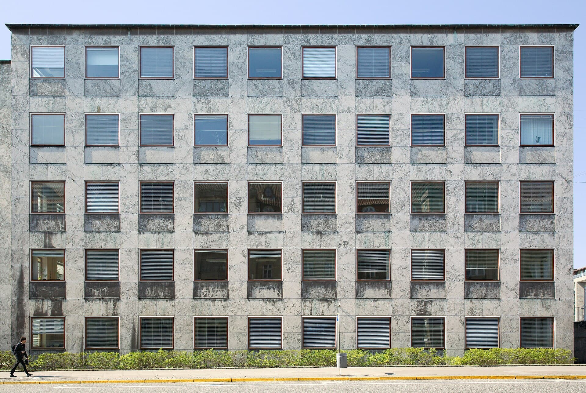 Aarhus City HallA building that divided its city when it opened in 1942, and eighty years later 6 minutes walk4.3
Because it is the most famous planning decision in the city's modern history. The river runs through the centre, and in **1930** it was covered in concrete and turned into a road for cars, because that counted as progress. It stayed buried for sixty years. In the **1990s** the municipality reversed the decision: the road was removed and the channel reopened in stages, finishing in 2015. The result is that the centre's busiest street became a **waterside promenade** lined with cafés and restaurants, and it is now the heart of Aarhus's evening life. The project is cited internationally as an example of returning water to a city that buried it.