
The double arch
Two parallel arches spreading an 84-metre span.
Diego Delso — CC BY-SA 4.0 · GilPe — CC BY-SA 4.0 · CAPTAIN RAJU — CC BY-SA 4.0 · CAPTAIN RAJU — CC BY-SA 4.0
The Adolphe Bridge crosses the Pétrusse valley on one enormous stone arch, and it is Luxembourg's first architectural emblem, appearing on its banknotes and stamps since it was completed in 1903. The technical achievement is why it is famous: the main arch spans about eighty-four metres, and at its opening it was the largest stone arch in the world. Building an arch of that span in masonry alone — no steel, no reinforced concrete — was at the limit of what engineering then allowed, and it was designed as two parallel arches side by side to distribute the load. It was built to link the old town with the new station quarter to the south, and expressed a small country's confidence in its future after independence. It underwent a full restoration between 2014 and 2017, during which a pedestrian and cycle walkway was hung beneath the road deck — and walking it gives an unfamiliar angle on the valley from inside the bridge itself.
Two parallel arches spreading an 84-metre span.
A view of the valley from inside the bridge.
Pont Adolphe, 1116 Luxembourg
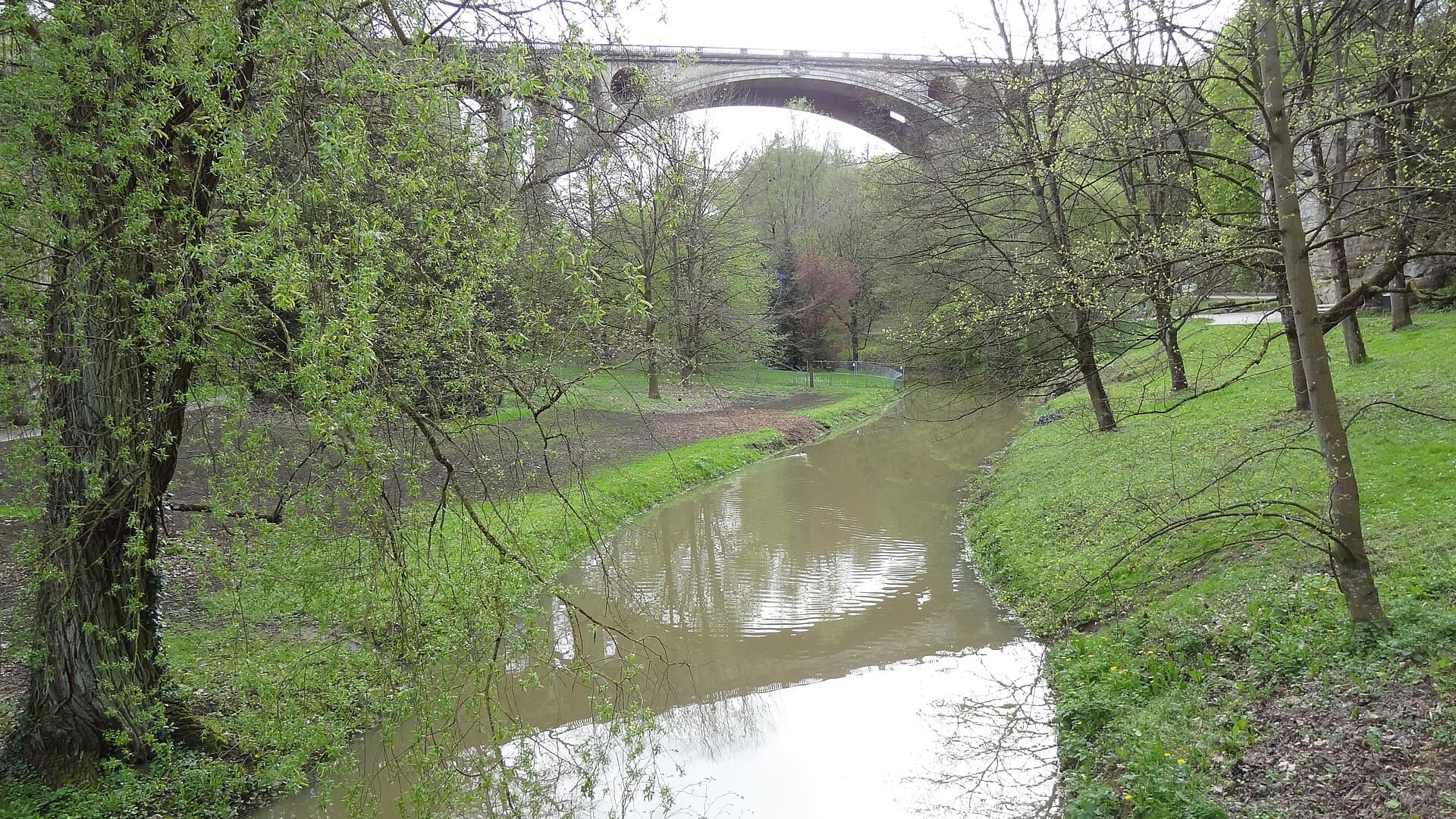 The Pétrusse ValleyThe Pétrusse valley is a deep green cut running beneath central Luxembourg, carv1 minute walk4.6
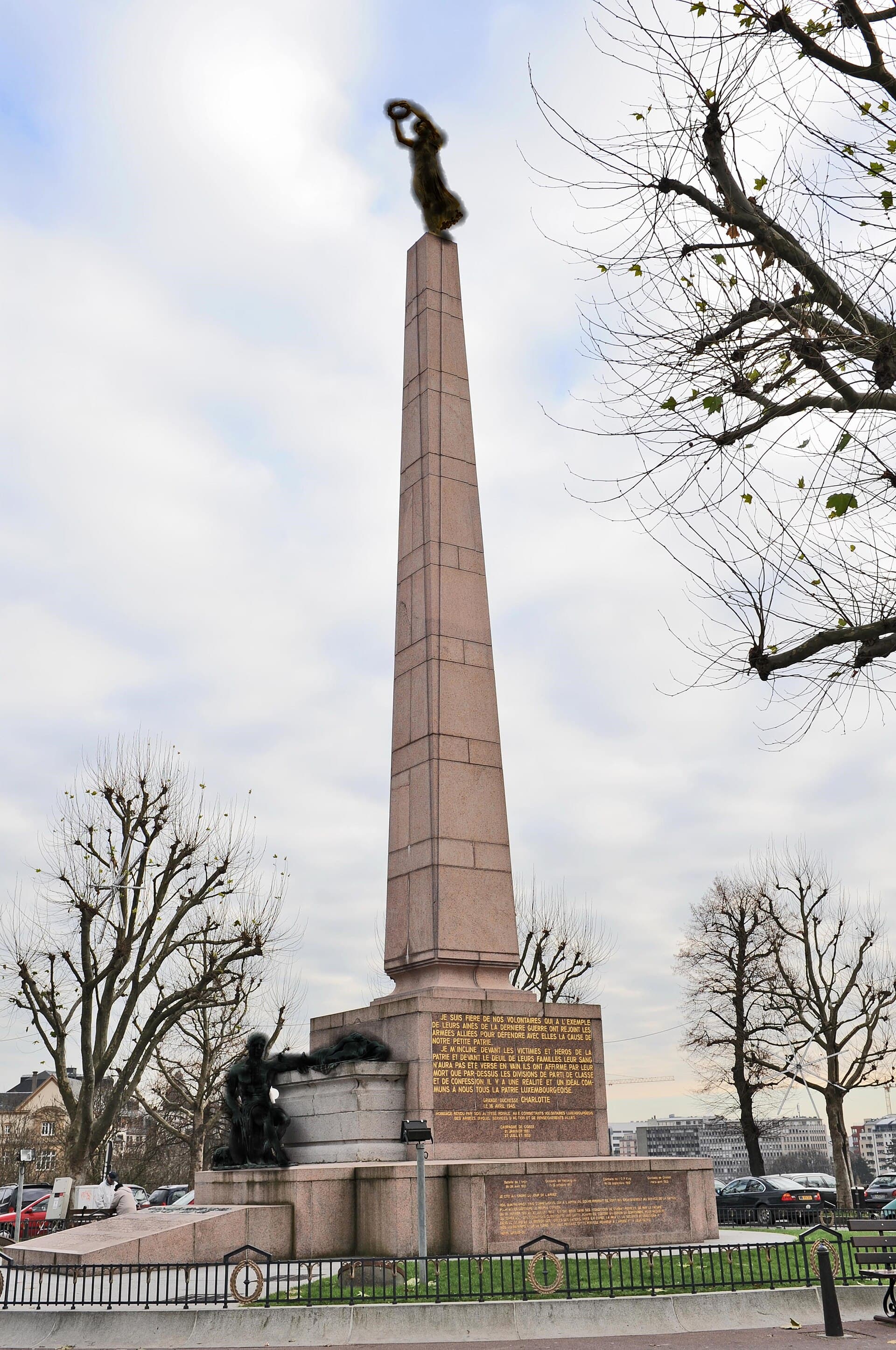 Place de la Constitution and the Gëlle FraThe Place de la Constitution is an open terrace on the edge of the Pétrusse vall2 minutes walk4.5
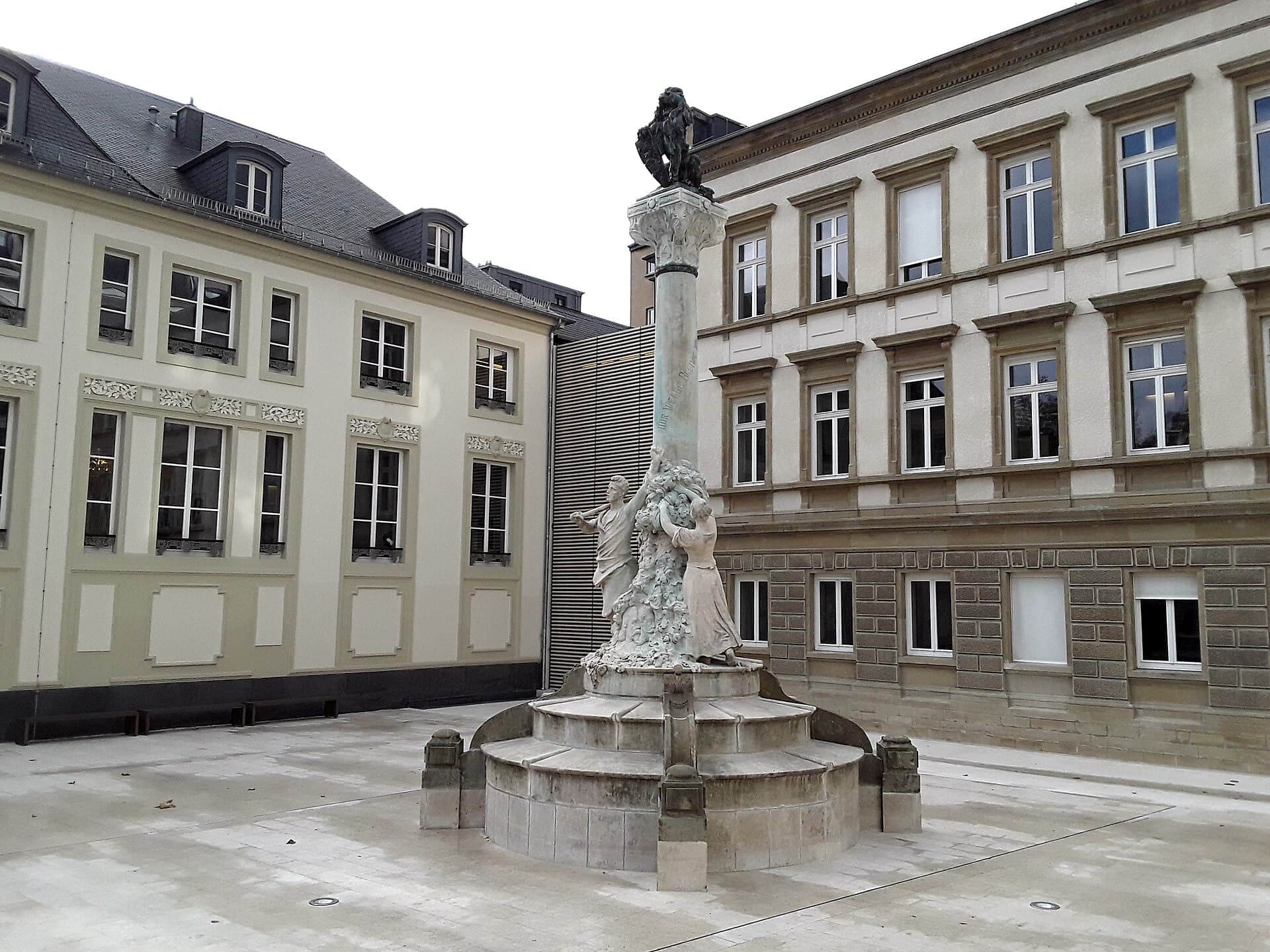 The Dicks-Lentz MonumentA memorial on the Place d'Armes in the city centre, dedicated to two nineteenth-4 minutes walk4.6
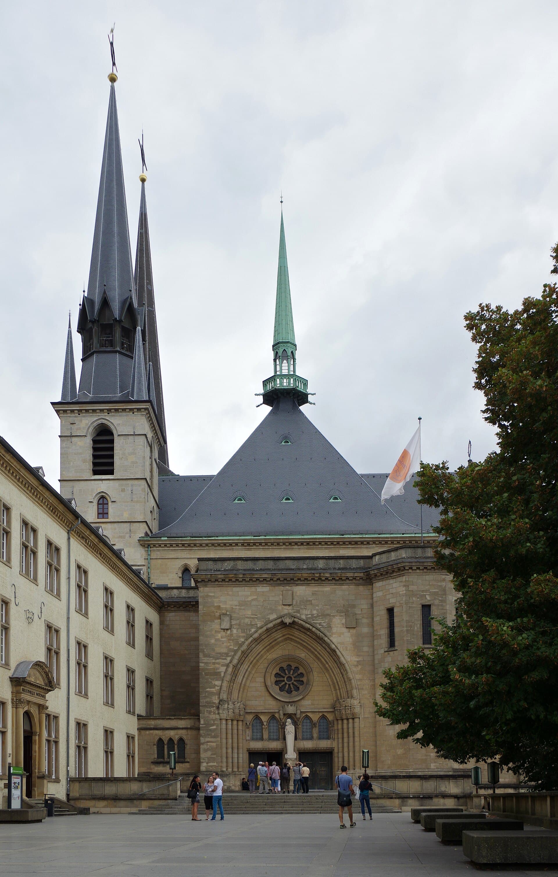 Notre-Dame CathedralNotre-Dame is Luxembourg's principal church, built originally in 1613 as the chu4 minutes walk4.5
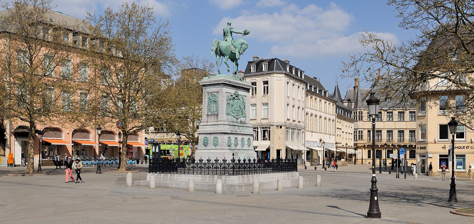 Place Guillaume IIPlace Guillaume II is the central square of the old town, and Luxembourgers call5 minutes walk4.5
A narrow valley cutting through the city, carved by the small Pétrusse river, which formed the fortress's natural southern defence — which is why casemates and military passages were cut into its cliff. After the fortifications were dismantled the valley became a linear park of lawns, walking paths and streams, and you can descend into it from the Place de la Constitution and walk beneath the bridge itself. It is free, and the best escape from asphalt in the city centre.