
The empire's edge
The limes followed the Rhine, and Utrecht was a crossing on it.
Rijksdienst voor het Cultureel Erfgoed — CC BY-SA 3.0 · Arjandb — CC BY-SA 3.0 nl · Arjandb — CC BY-SA 3.0 nl · Arjandb — CC BY-SA 3.0 nl
Markers set into the paving of Utrecht's Domplein tracing the outline of the Roman fort the city grew from, and from which it takes its name. The fort was built in the first century AD on the northern frontier of the Roman Empire. That frontier — the limes — followed the Rhine, and Utrecht was a crossing point on it; traiectum is Latin for crossing. The Dutch name Utrecht is a contraction of Oud Traiect, the old crossing. What makes the markers interesting is that they make something invisible readable. There is nothing to see above ground — the fort lies beneath the square, the cathedral and the buildings — but the lines in the paving draw its perimeter, so you walk a Roman wall while crossing a modern square. The whole Lower German limes was inscribed on the UNESCO World Heritage list in 2021, and Utrecht is part of it. Practical points: the markers are in a public square, free and always open. For the full experience, the DOMunder museum beneath the square shows the archaeological layers themselves on a ticket, and is the direct complement to what you read in the paving.
The limes followed the Rhine, and Utrecht was a crossing on it.
Nothing stands above ground, but the paving lines draw the perimeter.
The whole Lower German limes is on the UNESCO list.
Domplein, Utrecht
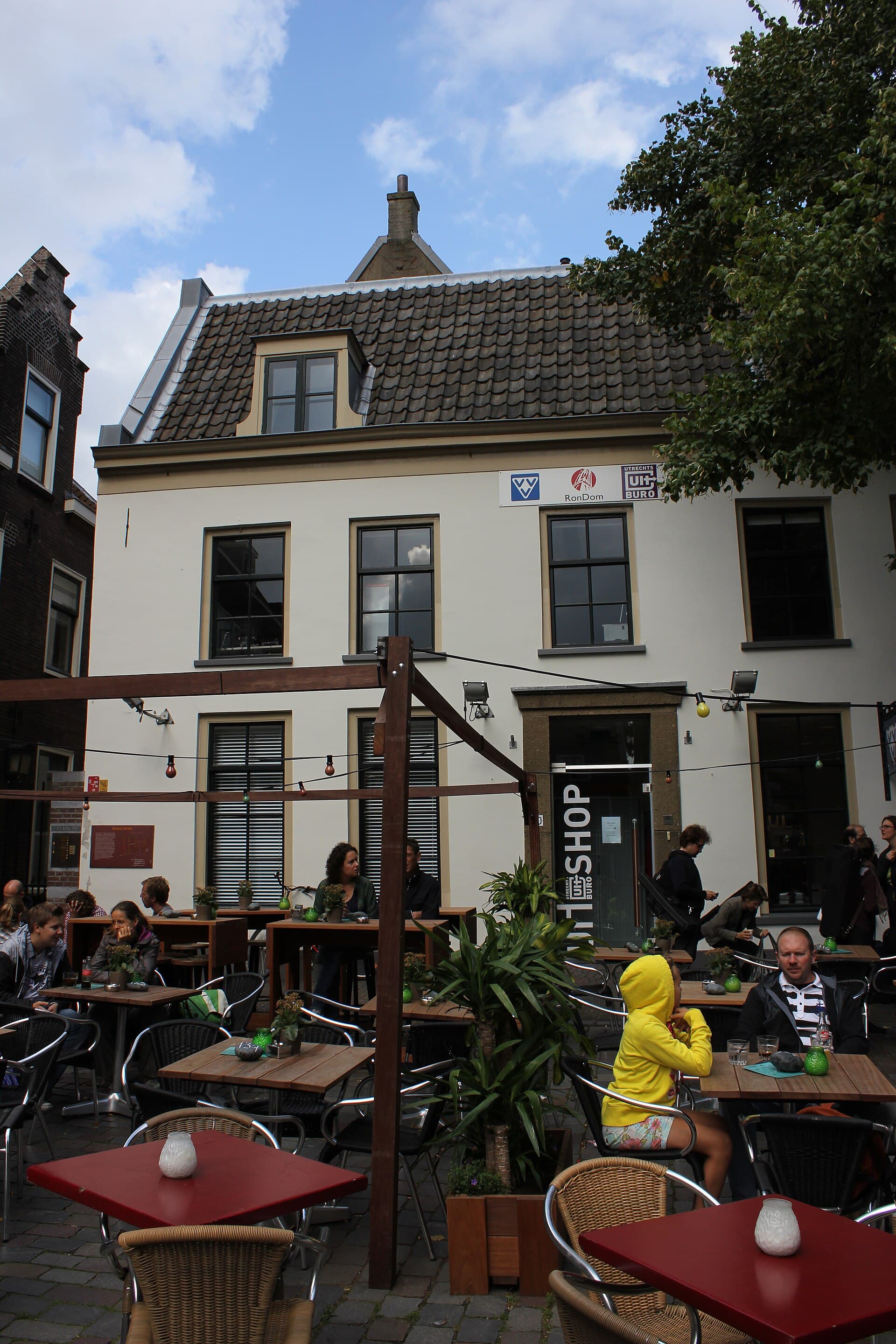 DOMunderDOMunder is an archaeological experience beneath Domplein itself: you descend un1 minute walk4.2
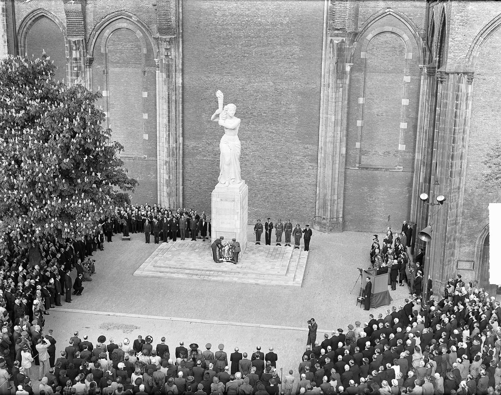 Resistance MonumentA monument to the resistance against Nazi occupation in Utrecht, standing near t1 minute walk4.6
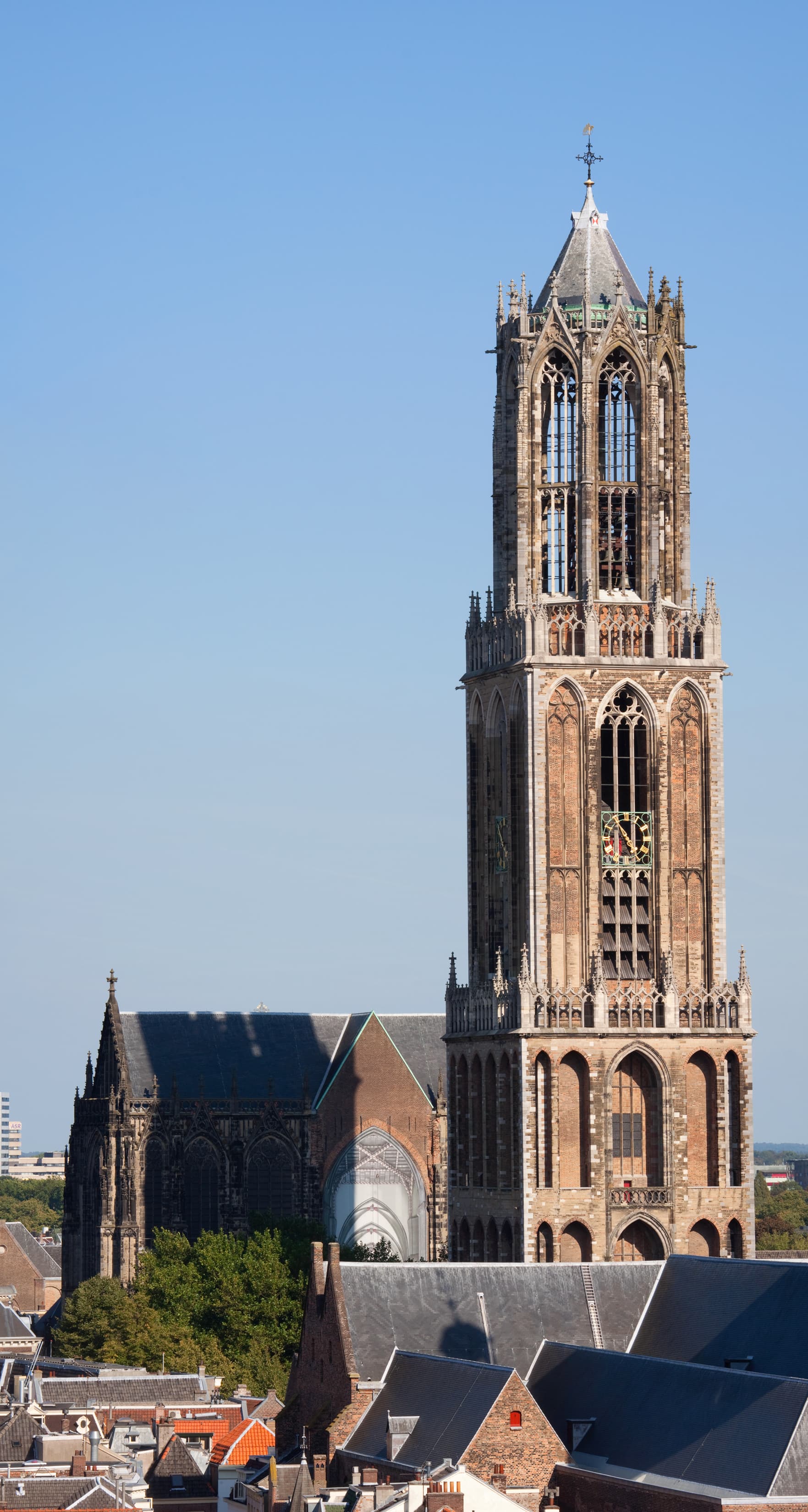 Dom TowerThe Dom Tower is the tallest church tower in the Netherlands (112 metres) and Ut1 minute walk4.4
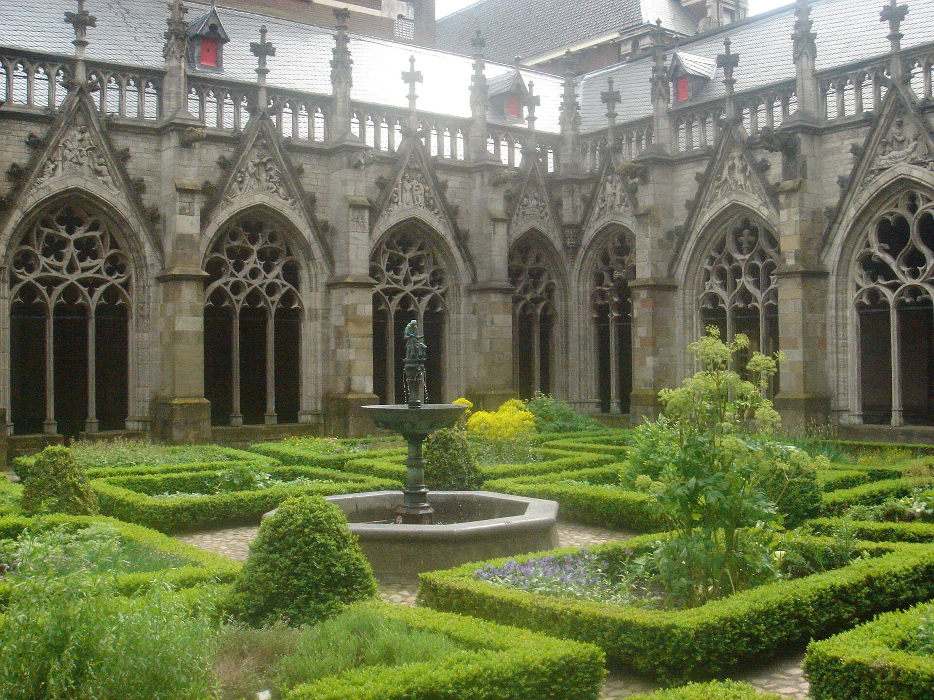 Pandhof GardenThe Pandhof is the Gothic cloister garden adjoining the Dom church — the lovelie1 minute walk4.8
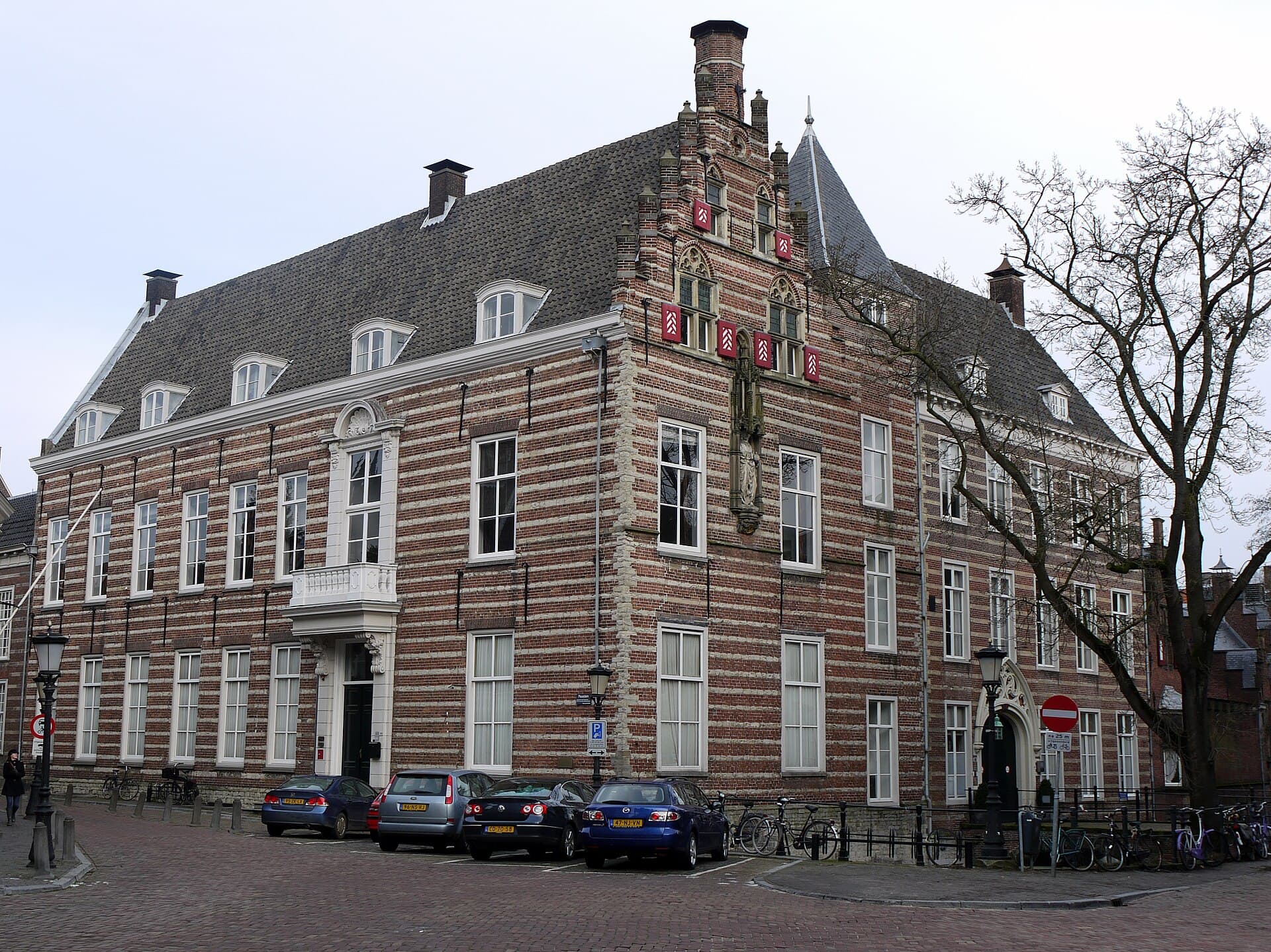 The Pope's HouseThe Paushuize, the Pope's House, is a town palace of 1517 in central Utrecht, bu2 minutes walk4.3
The fortified frontier of the Roman Empire. In this region it followed the course of the Rhine from Germany to the North Sea, made up of forts, camps, watchtowers and the roads linking them. It was not a continuous wall like Hadrian's but a network along the riverbank. The Lower German section was inscribed as World Heritage in 2021, with sites in the Netherlands and Germany.
If the archaeological layers interest you, yes — it is beneath the same square and shows what cannot be seen from above: the fort's foundations and the successive churches. The tour is small, guided and usually needs advance booking. The paving markers are free and give the map; the museum gives the substance.