
Bank paths
Continuous.
EditQ — CC BY-SA 4.0 · Daniel Case — CC BY-SA 3.0 · Nikolamikovic82 — CC0 · Nanhuajiaren — CC BY-SA 4.0 · Gerd Eichmann — CC BY-SA 4.0 · Gary Soup — CC BY 2.0 · ·˙·ChinaUli2010·.· — CC BY 3.0
A river crossing central Shanghai, also called the Wusong River and named after the neighbouring city of Suzhou. It runs 125 km, 54 of them within Shanghai, from Lake Tai to the Huangpu River at the north end of the Bund, and its banks are lined with old warehouses and bridges that saw the city grow. Since the end of 2020 its banks through the city centre have been open to walkers for 42 km, from Waibaidu Bridge to the Outer Ring Road, with linked green paths past historic buildings, parks and shops. Walking the banks is free at any hour; the finest stretch is near the mouth by Waibaidu Bridge and the General Post Office, where the towers of the Bund and Pudong appear together on the skyline.
Continuous.
Over the creek.
From the mouth.
Crosses central Shanghai and flows into the Huangpu at the Bund
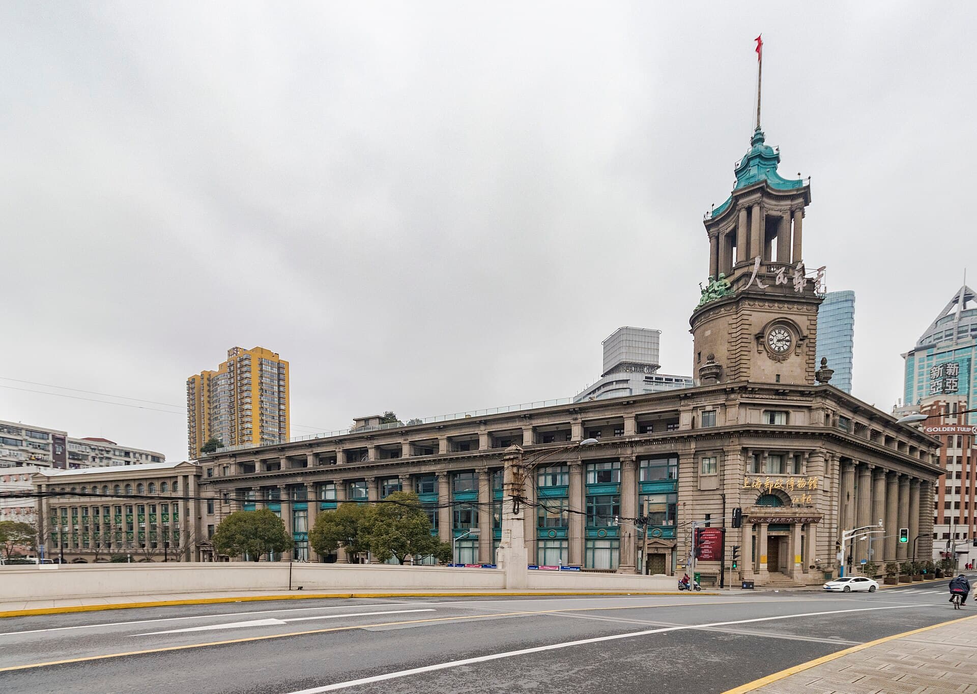 Shanghai Postal MuseumA museum inside the General Post Office Building on the north bank of Suzhou Cre2 minutes walk
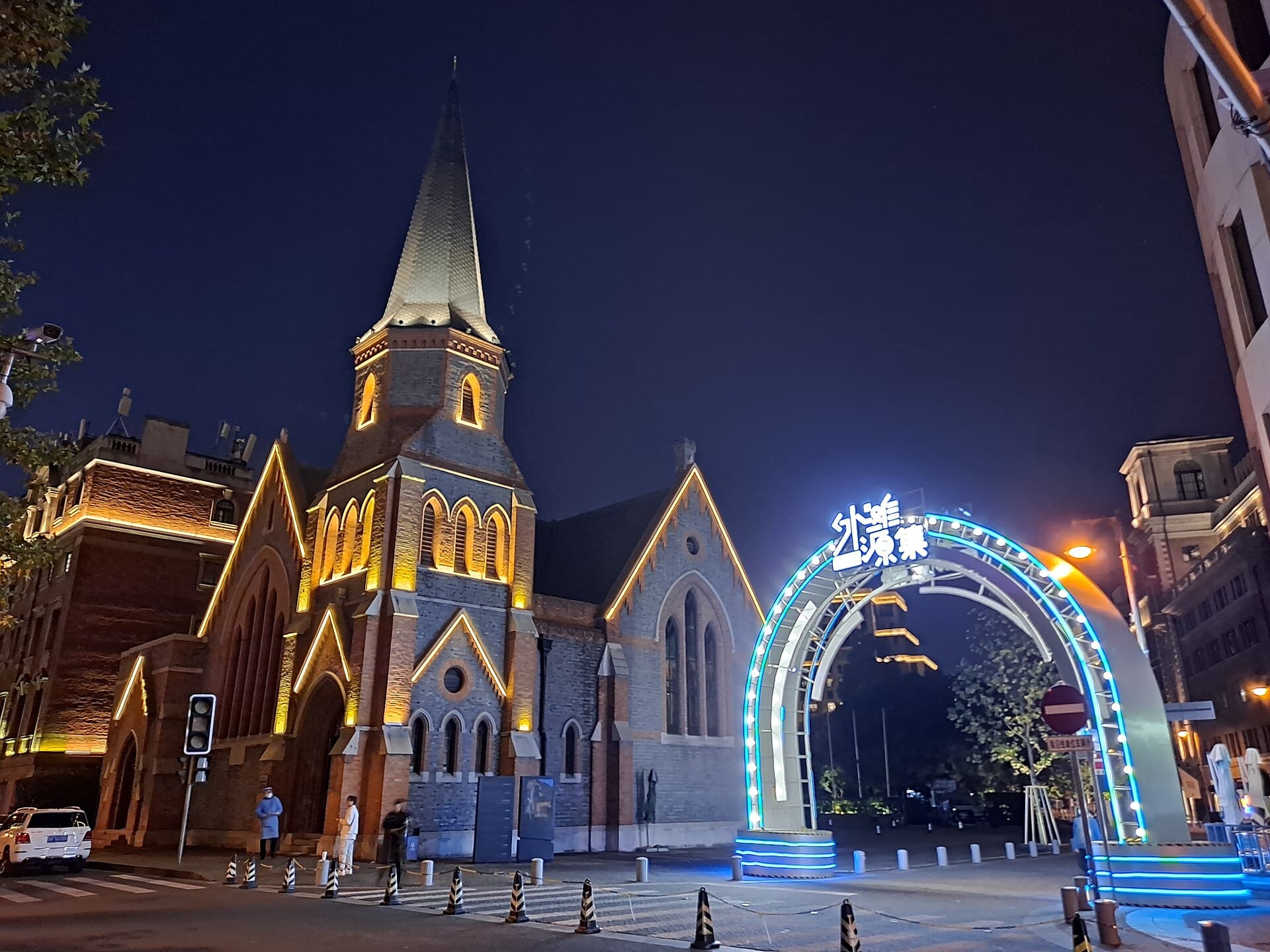 Rockbund (Waitanyuan)A historic quarter at the north end of Shanghai's Bund, where Suzhou Creek meets4 minutes walk
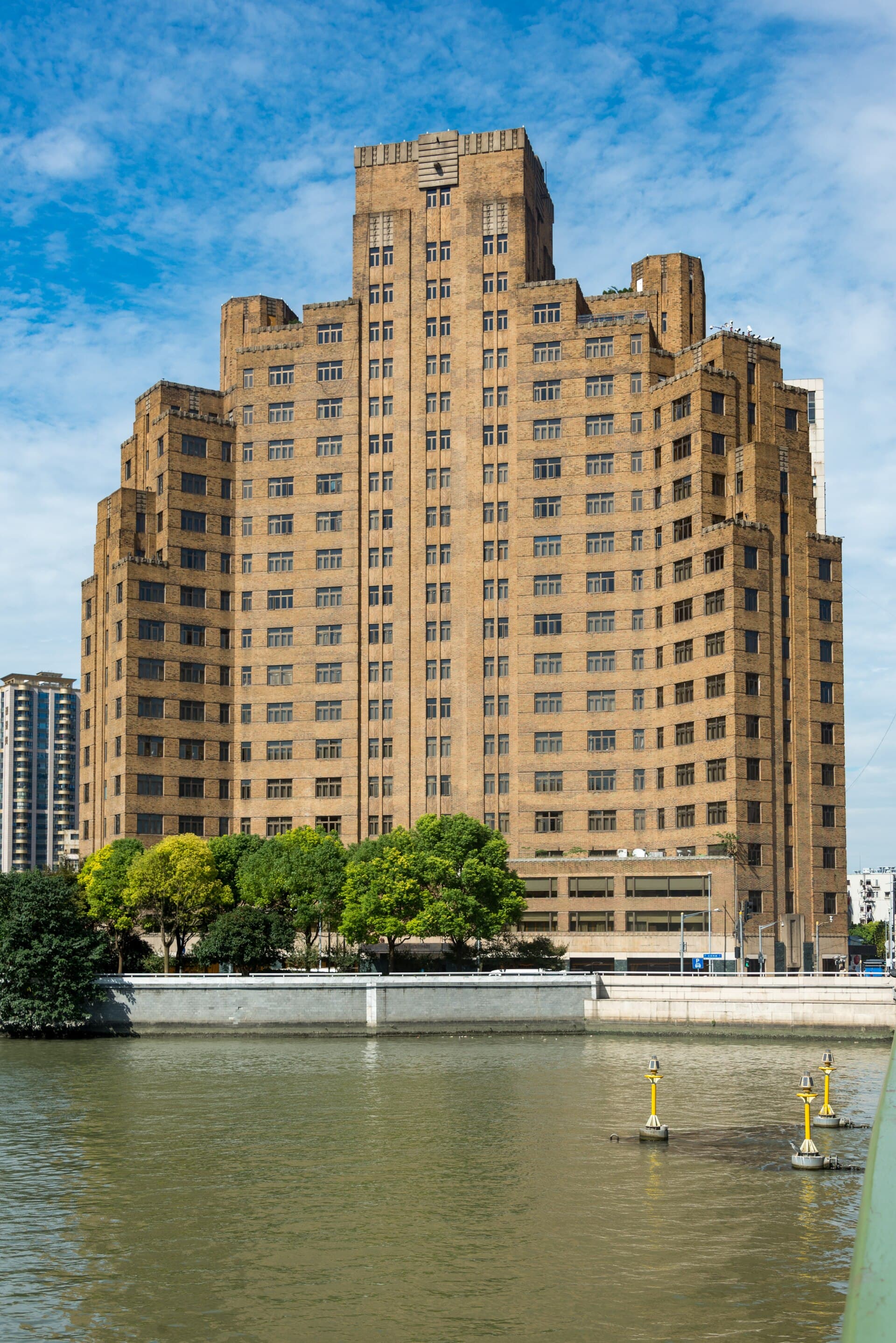 Broadway MansionsA nineteen-storey Art Deco building near the meeting of Suzhou Creek and the Hua5 minutes walk
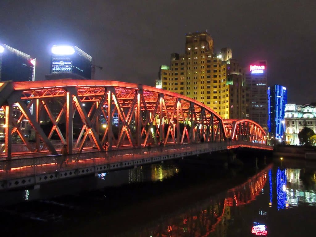 Waibaidu Bridge (Garden Bridge)A steel bridge at the mouth of Suzhou Creek, close to where it meets the Huangpu5 minutes walk
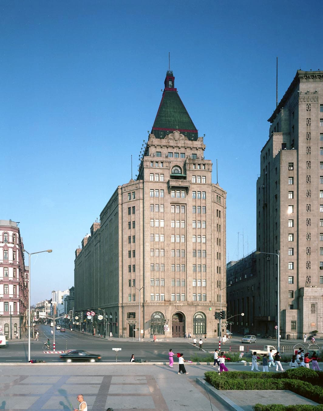 Peace HotelA historic hotel on the Bund where it meets Nanjing Road, in two buildings. The 8 minutes walk
At the mouth by Waibaidu Bridge, then west past the General Post Office and old warehouses; the paths run continuously along both banks for 42 km through the centre, free of charge.