
A wall turned park
The land was not sold for building but turned into a chain of parks.
VardeCe — CC BY-SA 4.0 · Diego Delso — CC BY-SA 3.0 · Diego Delso — CC BY-SA 3.0 · Scotch Mist — CC BY-SA 4.0
A public park north of the old town running along both banks of the Riga canal, and part of a continuous green belt that loops around the entire old town. That belt is what remains of Riga's walls. The city was fortified with walls and a moat until the mid nineteenth century, when the Russian authorities decided to demolish them because the fortifications no longer served militarily and were strangling the city's growth. Instead of selling the land for building, the line of the wall was turned into a chain of parks and the moat into a navigable canal. That nineteenth-century decision is what gives Riga its best urban feature today: a continuous green belt separating the old town from the newer districts, walkable end to end without crossing a busy road. Small boats work the canal in summer, a quiet way to see the whole belt. Practical points: the park is free and always open. Canal trips are seasonal and ticketed. The area is close to the Art Nouveau district and the national museums.
The land was not sold for building but turned into a chain of parks.
You can walk right around the old town without crossing a busy road.
Summer trips along the canal show the whole belt from the water.
North of the old town, along both banks of the canal
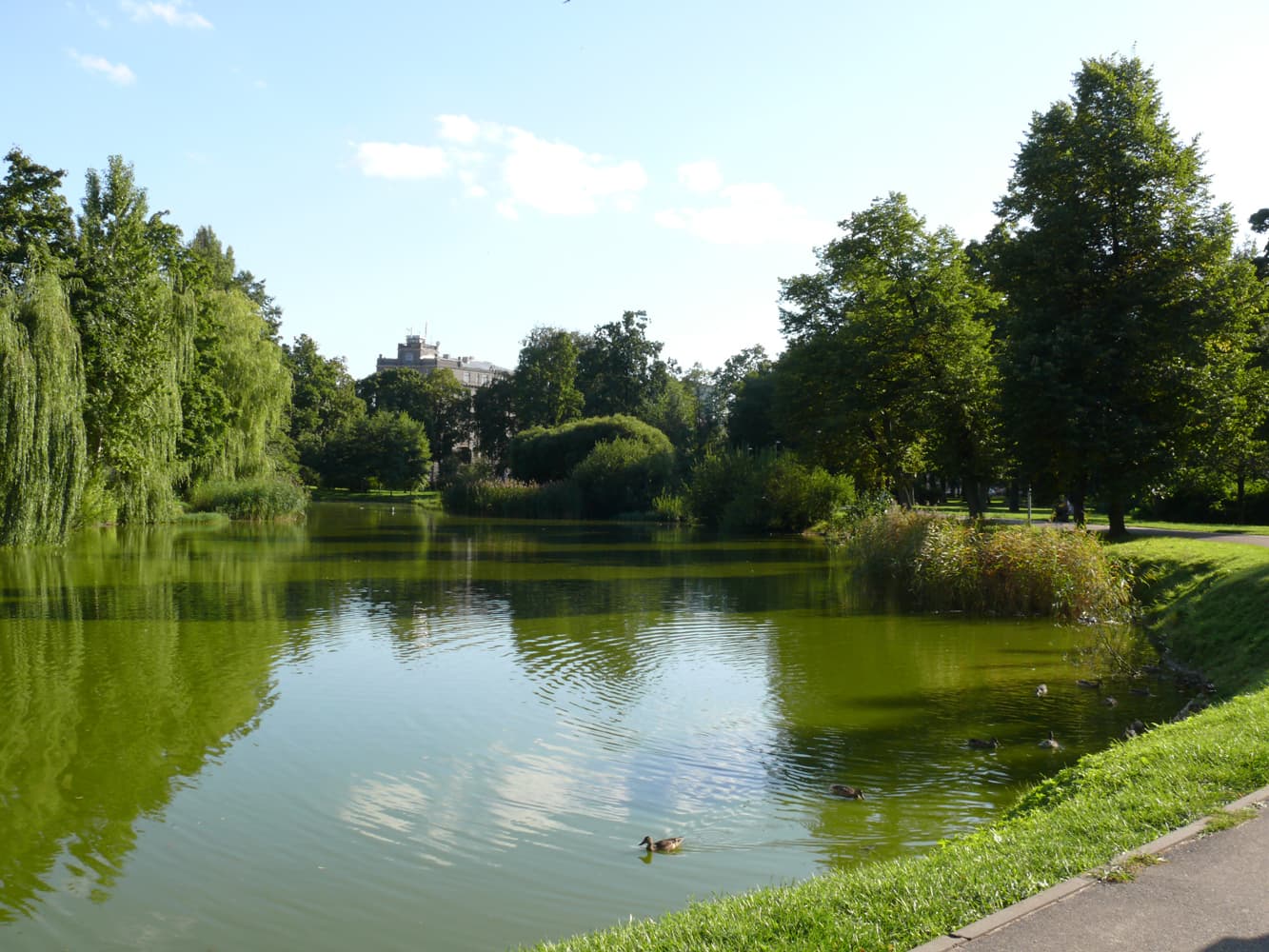 Viesturs GardenRiga's oldest public garden, laid out in the early eighteenth century on the ord6 minutes walk4.6
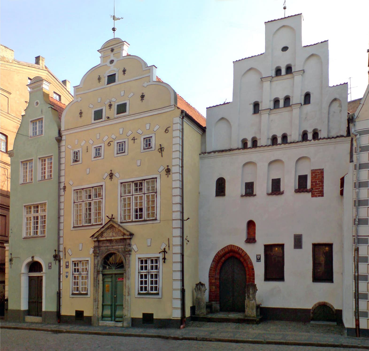 The Three BrothersThree joined houses that condense five centuries of domestic architecture: the T8 minutes walk4.5
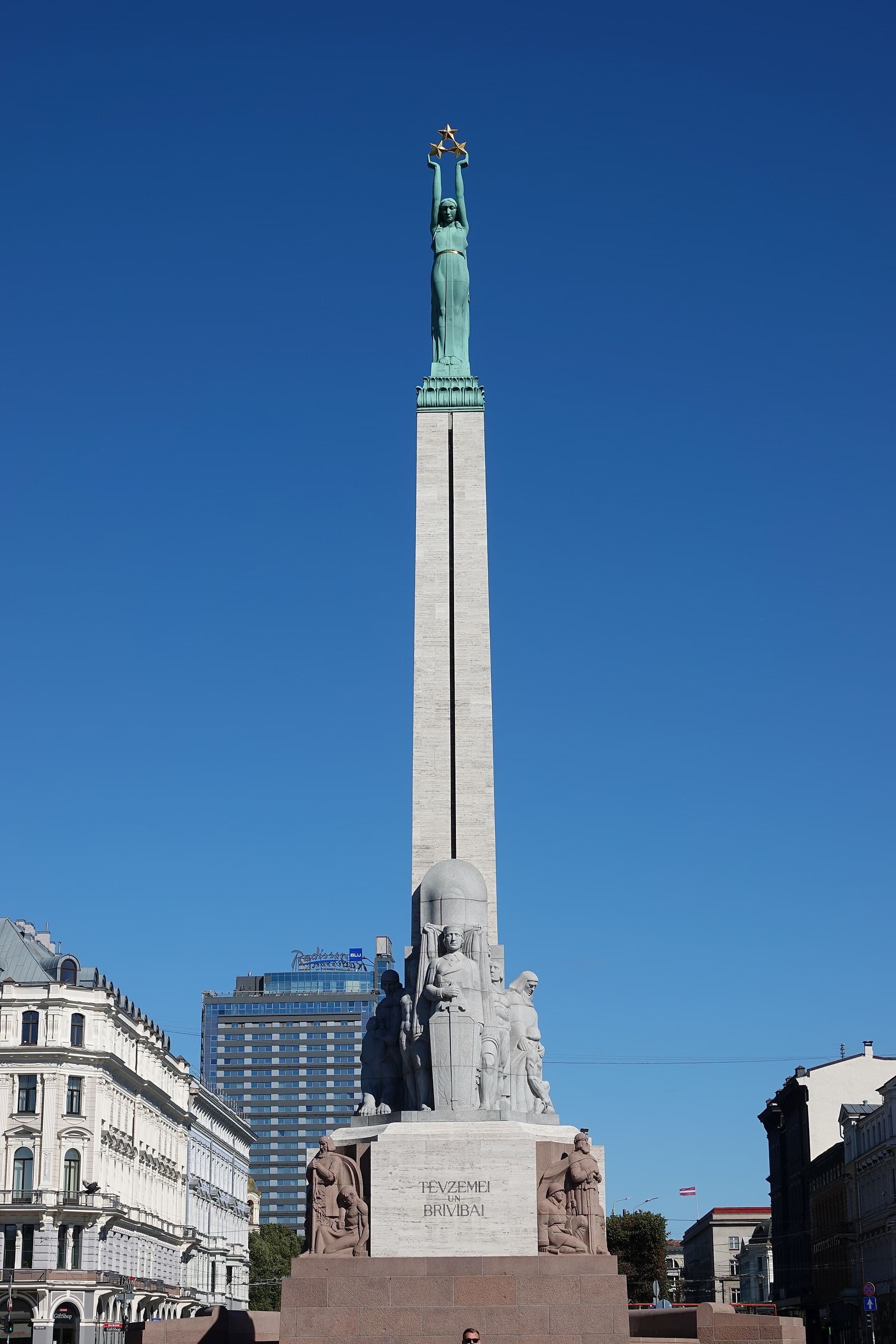 The Freedom MonumentThe symbol Latvians guarded with their eyes for fifty years: the Freedom Monumen8 minutes walk4.6
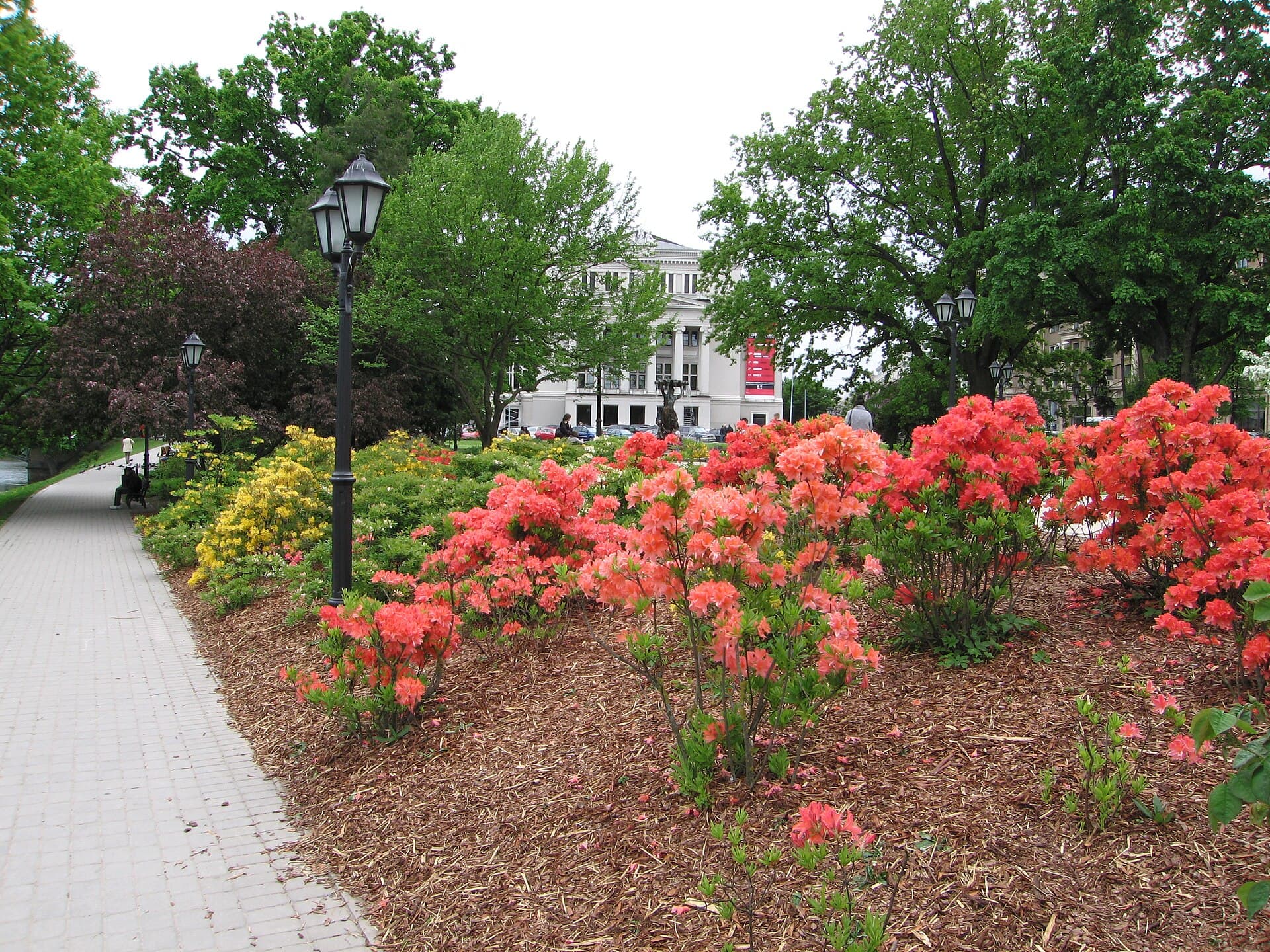 The Art Nouveau District and BastejkalnsThe city with more Art Nouveau than any other on earth: a third of central Riga'8 minutes walk4.8
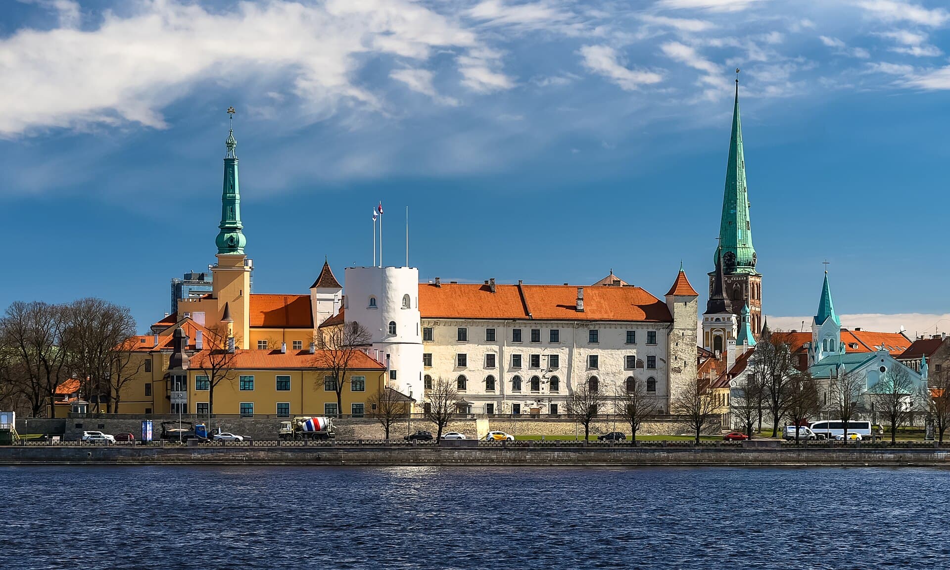 Riga CastleThe knights' castle that became the President's palace: the Livonian Order built8 minutes walk4.3
It starts at the Freedom Monument and loops around the old town along the canal through several successive parks, including Kronvalda and Bastion Hill. The whole route is about an hour at an easy pace, the quietest way to see Riga and best in the morning.
If the weather is good and you have an hour, yes. The boats are small and flat, passing under the bridges along the canal, showing the belt and the buildings from a different level. They run in summer only, at reasonable prices. In cold or wet weather there is no point.