
The scale model
How the city spread from the rock to the plateaus.
Michael Kramer — CC BY-SA 3.0 · GilPe — CC BY-SA 3.0 · GilPe — CC BY-SA 3.0 · GilPe — CC BY-SA 3.0
The City History Museum occupies four adjoining historic houses in the upper town, joined internally with a contemporary extension added — and the result is a museum running vertically from the top floor down to cellars cut into the rock. Its best-known exhibit is not an object but a means of transport: an enormous glass lift holding dozens of people, connecting every floor at a deliberately slow pace, so that as you descend you see sections of rock and the old foundations everything was built on. The idea is that riding down the lift is a descent through the city's layers. The display begins with the founding of the fortress in the tenth century and follows Burgundian, Spanish, French, Austrian and Prussian rule — Luxembourg changed hands many times — then independence, the two wars, the turn to banking and the European role. A large scale model of the city shows how it spread from the rock onto the plateaus around it.
How the city spread from the rock to the plateaus.
Cut foundations seen from inside the lift.
14 Rue du Saint-Esprit, 1475 Luxembourg
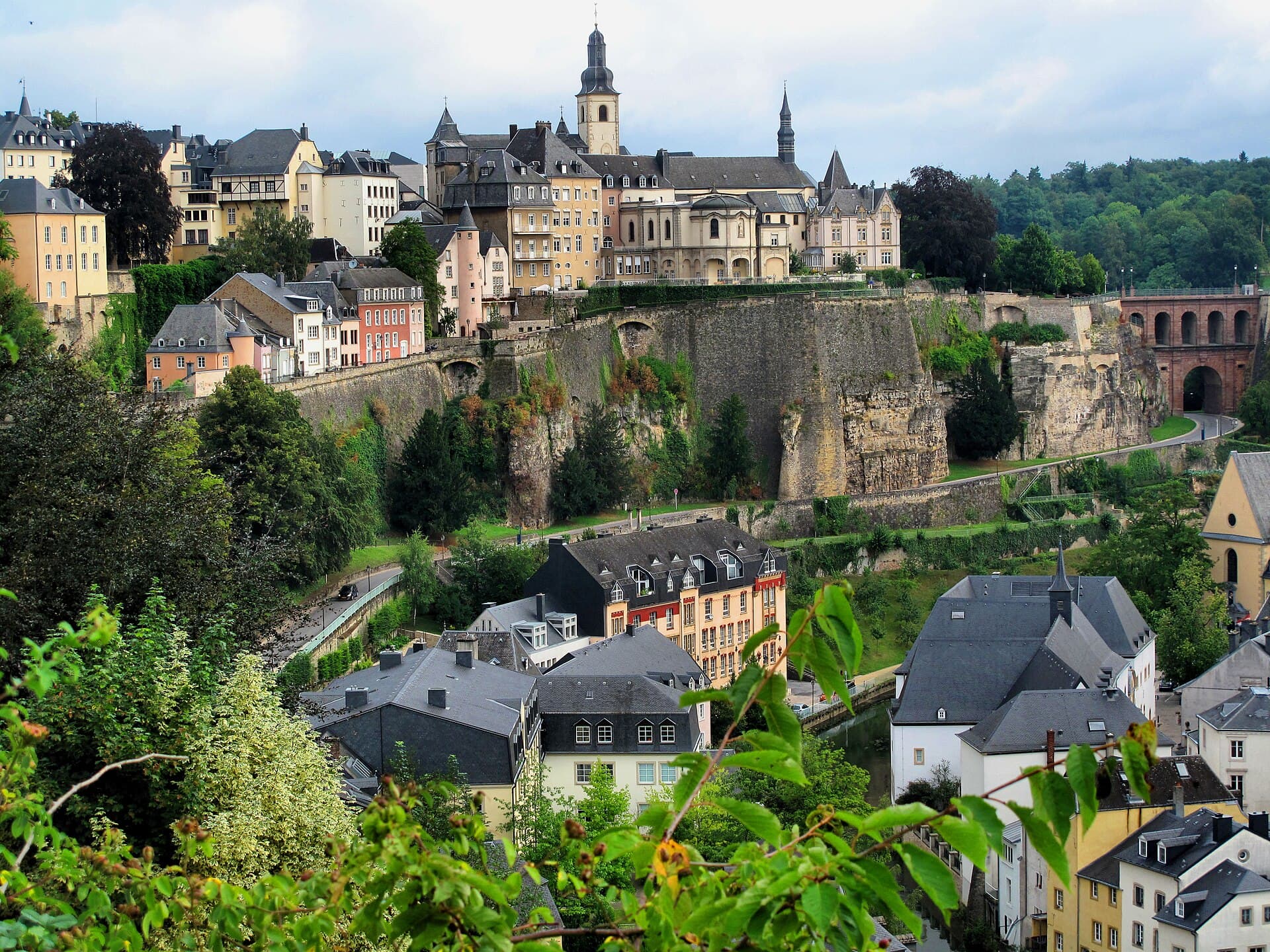 The Chemin de la CornicheThe Chemin de la Corniche is a short walk running along the top of the old rampa1 minute walk
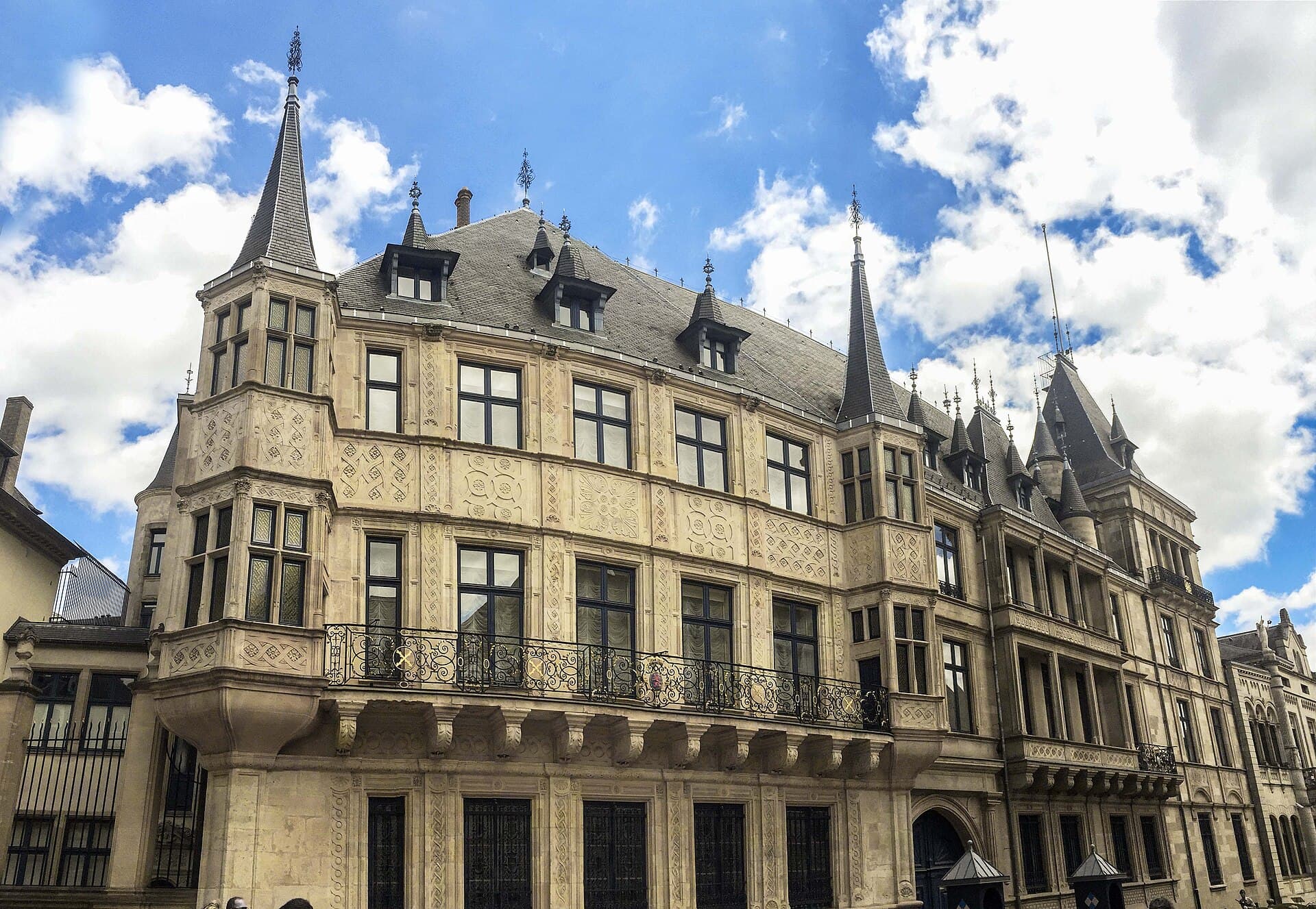 The Grand Ducal PalaceThe Grand Ducal Palace is the working residence of the Grand Duke, Luxembourg's 2 minutes walk4.5
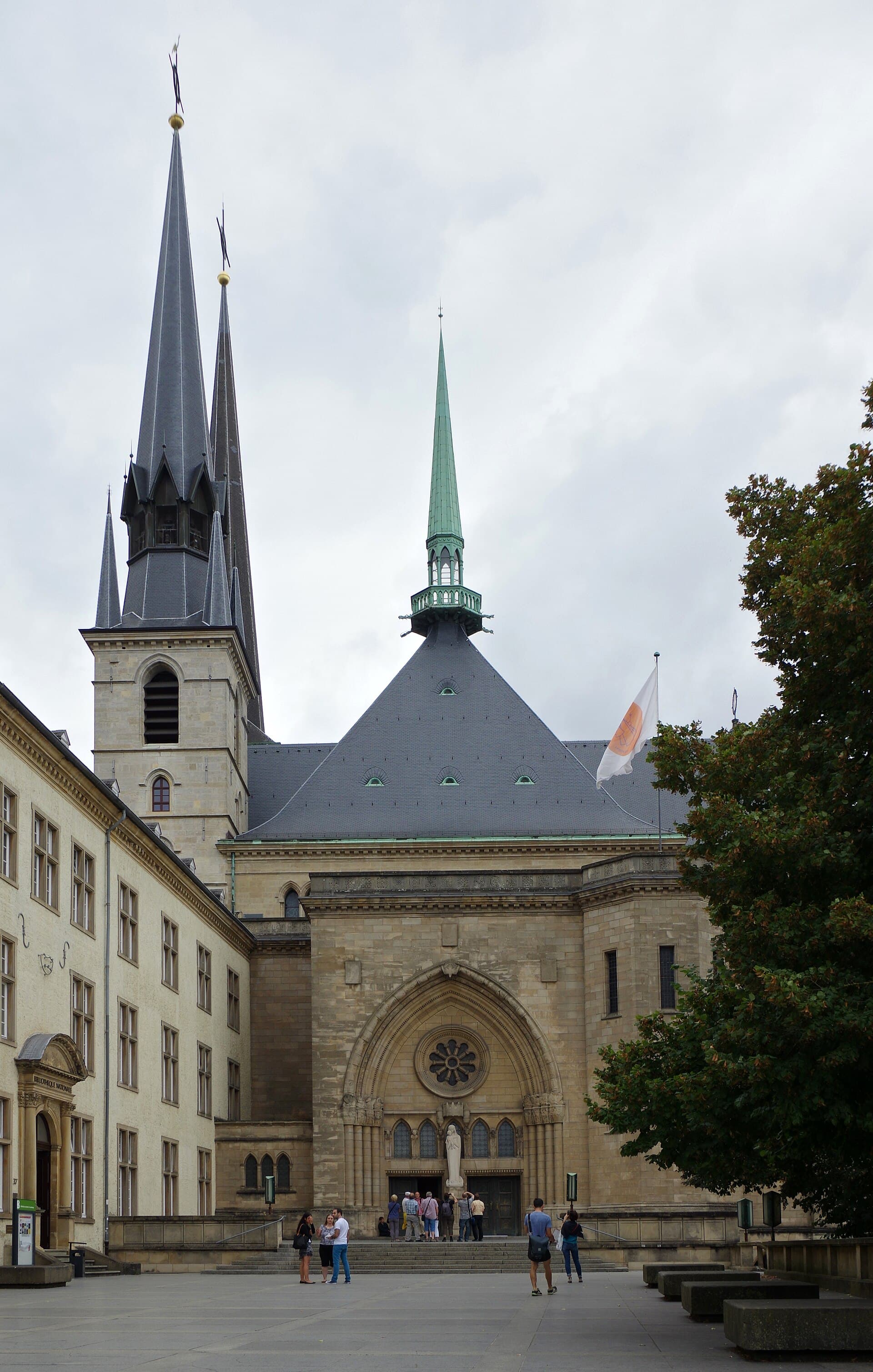 Notre-Dame CathedralNotre-Dame is Luxembourg's principal church, built originally in 1613 as the chu2 minutes walk4.5
 The Archaeological CryptAn underground archaeological chamber at the Bock promontory, showing the remain2 minutes walk4.4
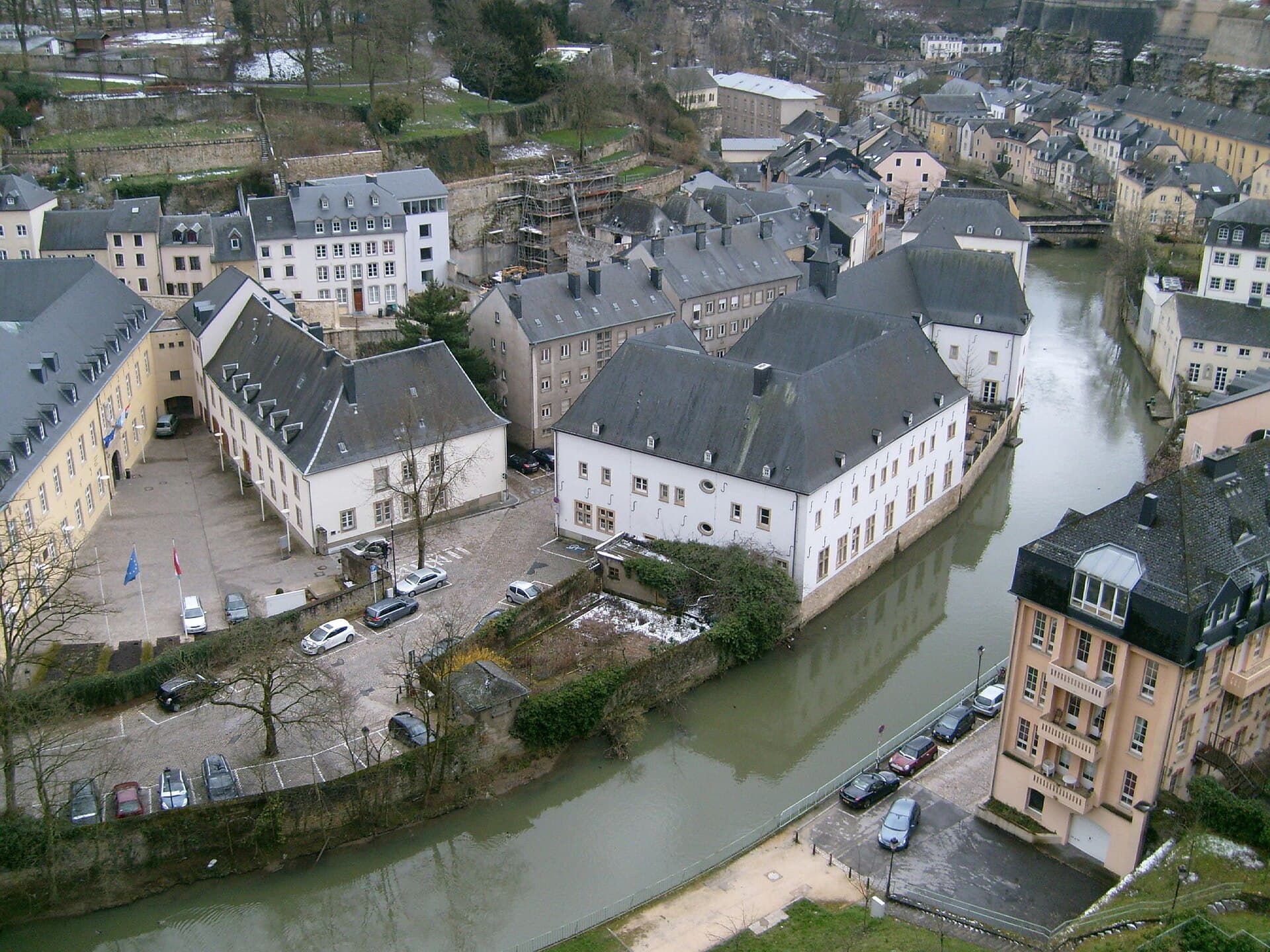 The National Museum of Natural HistoryThe National Museum of Natural History is in the Grund, housed in the former Hos2 minutes walk4.7
Because of where it is. It sits at the meeting of the French, German and Low Countries spheres, and its fortified rock commands the routes between them — so whoever holds it holds a strategic passage. Burgundy, Habsburg Spain, France, Habsburg Austria, Prussia and the Netherlands contested it across four centuries, and each of them added to its fortifications. Its actual independence was only completed by the 1867 treaty, which required everything they had built to be pulled down.