
The fortress remains
Sections of the works still visible among the trees.
Cayambe at lb.wikipedia — CC BY-SA 3.0 lu · Krzysztof Popławski — CC BY-SA 4.0 · Velvet — CC BY-SA 4.0 · Jim Evans — CC BY-SA 4.0
The Municipal Park is a green strip running north of the old town, and Luxembourg's principal park — but its origin is what makes it interesting: it was the fortress's northern line of fortifications, and when those were demolished after the 1867 treaty the strip they had occupied was left empty. Rather than build on it, the city decided to turn it into a park, and commissioned the French architect Édouard André — among the best-known garden designers of the nineteenth century — to lay it out. He designed it in the English manner: curving paths, ponds, gentle mounds and free groups of trees, working with the fortress's own contours. The result is that what once enclosed the city with a wall now encloses it with green — and that shift from defence to recreation is the whole story of modern Luxembourg in one example. Remains of the fortress are still visible in parts of the park. It is free and open, with playgrounds and a cafe.
Sections of the works still visible among the trees.
Curving paths and ponds following the fortress contours.
Parc Edmond Klein, 1420 Luxembourg
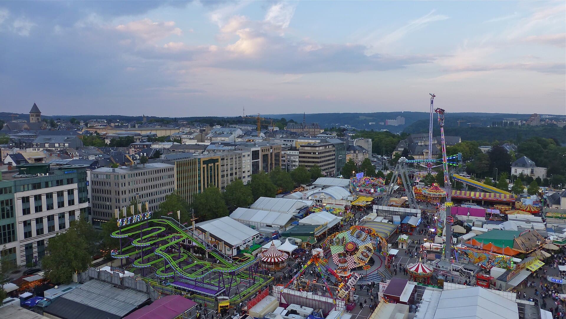 The SchueberfouerThe Schueberfouer is Luxembourg's largest festival and its oldest continuous tra5 minutes walk4.4
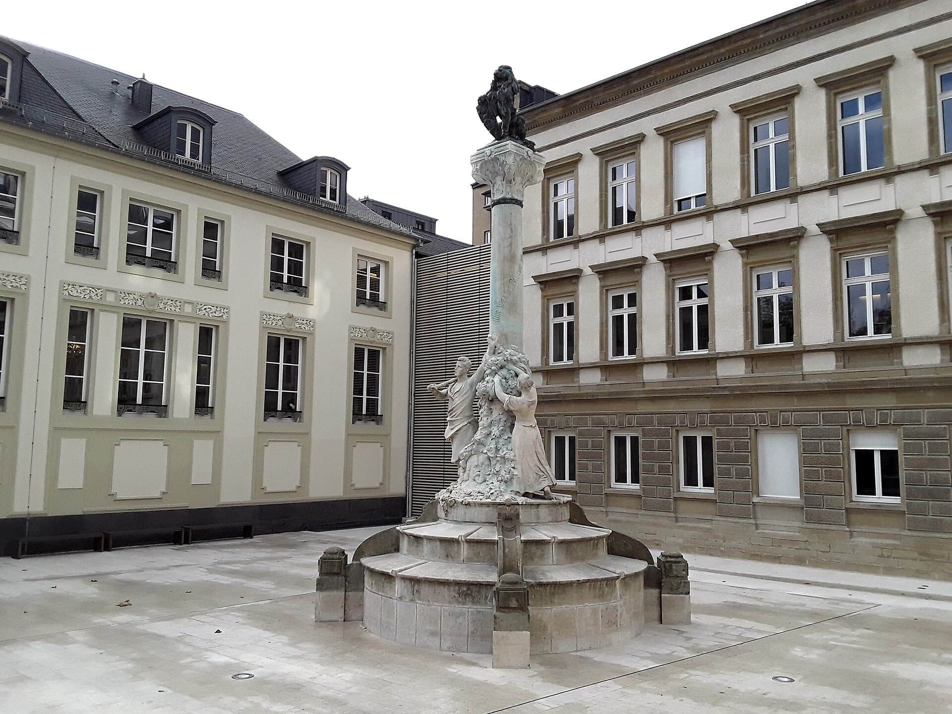 The Dicks-Lentz MonumentA memorial on the Place d'Armes in the city centre, dedicated to two nineteenth-6 minutes walk4.6
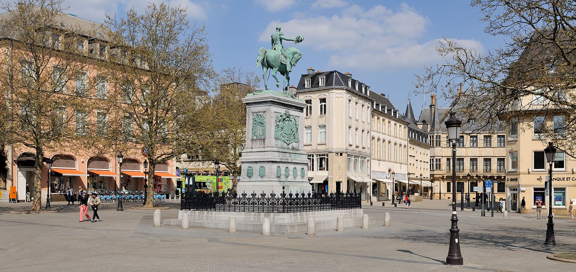 Place Guillaume IIPlace Guillaume II is the central square of the old town, and Luxembourgers call8 minutes walk4.5
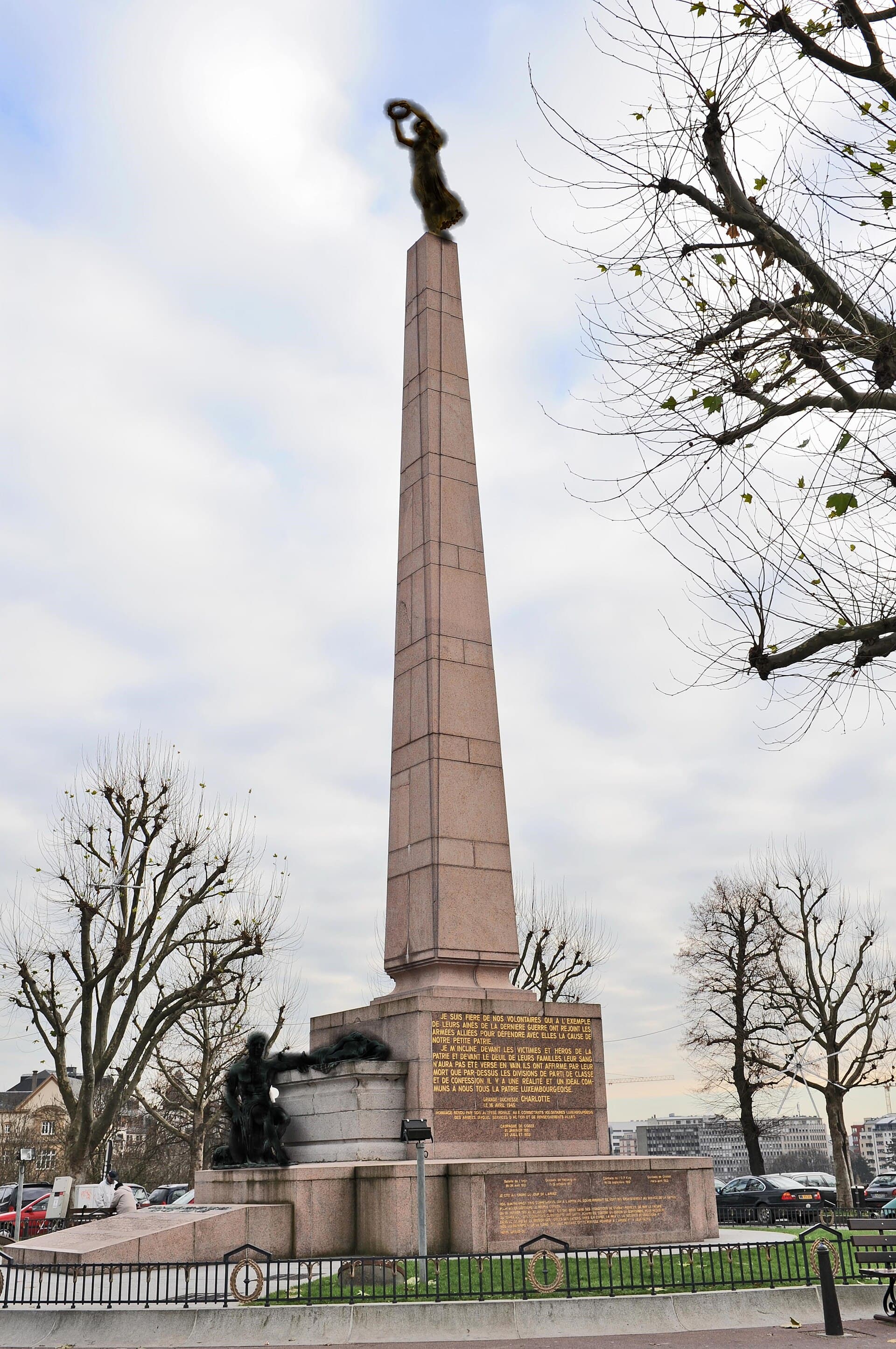 Place de la Constitution and the Gëlle FraThe Place de la Constitution is an open terrace on the edge of the Pétrusse vall8 minutes walk4.5
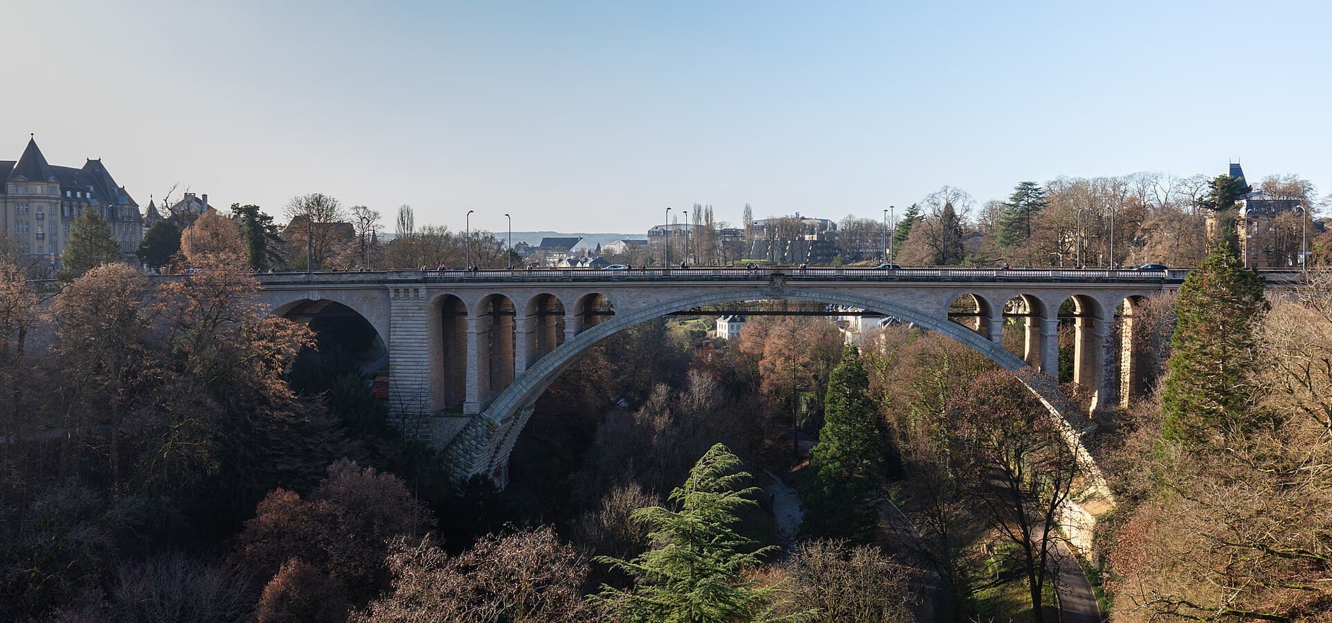 The Adolphe BridgeThe Adolphe Bridge crosses the Pétrusse valley on one enormous stone arch, and i8 minutes walk4.8
Three, all free and nearly continuous: the Municipal Park to the north along the old fortification line, the Pétrusse valley to the south, the finest and most dramatic, and the Alzette valley through the Grund and Clausen to the east. Luxembourg's great advantage is that its green is not on the edges but cuts through it — the valleys run beneath the city centre, so you are minutes from woodland at any point.